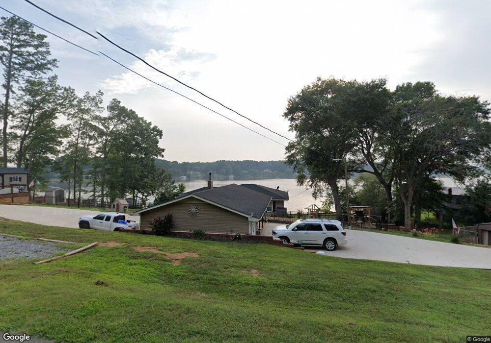
332 Canal Rd Belmont, NC 28012
Estimated Value: $509,000 - $895,000
3
Beds
2
Baths
1,429
Sq Ft
$484/Sq Ft
Est. Value
About This Home
This home is located at 332 Canal Rd, Belmont, NC 28012 and is currently estimated at $691,448, approximately $483 per square foot. 332 Canal Rd is a home located in Gaston County with nearby schools including J B Page Elementary School, Belmont Central Elementary School, and Belmont Middle School.
Ownership History
Date
Name
Owned For
Owner Type
Purchase Details
Closed on
Apr 21, 2022
Sold by
Beaty Cassandra B
Bought by
Beaty Cassandra B and Beaty Bryan Anthony
Current Estimated Value
Purchase Details
Closed on
Feb 4, 2022
Sold by
Conger Fredrick C and Conger Angela
Bought by
Beaty Cassabdra B
Home Financials for this Owner
Home Financials are based on the most recent Mortgage that was taken out on this home.
Original Mortgage
$477,000
Interest Rate
3.45%
Mortgage Type
New Conventional
Purchase Details
Closed on
Oct 1, 2018
Sold by
Conger Frederick C and Conger Angela
Bought by
Conger Frederick C and Conger Angela
Purchase Details
Closed on
Apr 30, 2007
Sold by
Campbell Mae Belle and Myers Beverly Ann
Bought by
Conger Builders Inc
Create a Home Valuation Report for This Property
The Home Valuation Report is an in-depth analysis detailing your home's value as well as a comparison with similar homes in the area
Home Values in the Area
Average Home Value in this Area
Purchase History
| Date | Buyer | Sale Price | Title Company |
|---|---|---|---|
| Beaty Cassandra B | -- | Nixon Firm Pllc | |
| Beaty Cassabdra B | $530,000 | Nixon Firm Pllc | |
| Conger Frederick C | -- | None Available | |
| Conger Builders Inc | $400,000 | None Available |
Source: Public Records
Mortgage History
| Date | Status | Borrower | Loan Amount |
|---|---|---|---|
| Previous Owner | Beaty Cassabdra B | $477,000 |
Source: Public Records
Tax History Compared to Growth
Tax History
| Year | Tax Paid | Tax Assessment Tax Assessment Total Assessment is a certain percentage of the fair market value that is determined by local assessors to be the total taxable value of land and additions on the property. | Land | Improvement |
|---|---|---|---|---|
| 2025 | $4,346 | $608,750 | $281,100 | $327,650 |
| 2024 | $4,337 | $607,390 | $281,100 | $326,290 |
| 2023 | $4,221 | $607,390 | $281,100 | $326,290 |
| 2022 | $3,300 | $358,730 | $187,400 | $171,330 |
| 2021 | $3,157 | $358,730 | $187,400 | $171,330 |
| 2019 | $3,106 | $354,600 | $187,400 | $167,200 |
Source: Public Records
Map
Nearby Homes
- 8112 Bayview Ln Unit 32
- 105 Lake Mist Dr
- 8013 Waterview Dr Unit 4
- 246 Quiet Waters Rd Unit 18
- 232 Morgans Branch Rd
- 100 Acadian Way
- 2096 S Point Rd
- 2633 Lake Front Dr
- 173 Morgans Branch Rd
- 114 Warren Dr
- 974 Armstrong Rd
- 934 Armstrong Rd
- 2613 Lake Front Dr
- 253 Lanyard Ln
- 1032 Moonlight Mist Rd
- 1028 Moonlight Mist Rd
- 236 Paradise Dr
- 1011 Lake Shore Dr
- 4204 Belle Meade Cir
- 511 Brook Forest Dr
- 330 Canal Rd
- 344 Canal Rd
- 326 Canal Rd
- 324 Canal Rd
- 310 Canal Rd
- 300 Canal Rd
- 176 Tanglewood Cove
- 175 Tanglewood Cove
- 3153 Lake Side Cir
- 156 Tanglewood Cove
- 3154 Lake Side Cir
- 3145 Lake Side Cir
- 152 Tanglewood Cove
- 3137 Lakeside Cir
- 3148 Lake Side Cir
- 148 Tanglewood Cove
- 146 Tanglewood Cove
- 3142 Lake Side Cir
- 184 Lake Mist Dr Unit 2
- 0 N E Side Hwy 21 Unit 290481