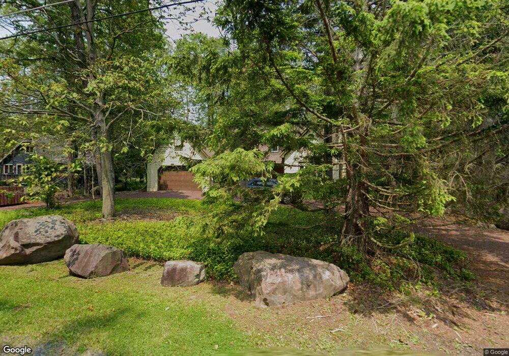
332 Canoe Brook Rd Pocono Pines, PA 18350
Estimated Value: $508,000 - $705,000
4
Beds
4
Baths
2,627
Sq Ft
$224/Sq Ft
Est. Value
About This Home
This home is located at 332 Canoe Brook Rd, Pocono Pines, PA 18350 and is currently estimated at $588,644, approximately $224 per square foot. 332 Canoe Brook Rd is a home located in Monroe County with nearby schools including Tobyhanna Elementary Center, Clear Run Intermediate School, and Pocono Mountain West Junior High School.
Ownership History
Date
Name
Owned For
Owner Type
Purchase Details
Closed on
Feb 18, 2007
Sold by
Driebe Thomas J and Leone Maureen J
Bought by
Shuster Dmttri and Opman Ellen
Current Estimated Value
Home Financials for this Owner
Home Financials are based on the most recent Mortgage that was taken out on this home.
Original Mortgage
$300,000
Outstanding Balance
$180,783
Interest Rate
6.27%
Mortgage Type
New Conventional
Estimated Equity
$407,861
Create a Home Valuation Report for This Property
The Home Valuation Report is an in-depth analysis detailing your home's value as well as a comparison with similar homes in the area
Home Values in the Area
Average Home Value in this Area
Purchase History
| Date | Buyer | Sale Price | Title Company |
|---|---|---|---|
| Shuster Dmttri | $375,000 | Mountain Lakes Abstract |
Source: Public Records
Mortgage History
| Date | Status | Borrower | Loan Amount |
|---|---|---|---|
| Open | Shuster Dmttri | $300,000 |
Source: Public Records
Tax History Compared to Growth
Tax History
| Year | Tax Paid | Tax Assessment Tax Assessment Total Assessment is a certain percentage of the fair market value that is determined by local assessors to be the total taxable value of land and additions on the property. | Land | Improvement |
|---|---|---|---|---|
| 2025 | $2,466 | $315,500 | $81,880 | $233,620 |
| 2024 | $2,043 | $315,500 | $81,880 | $233,620 |
| 2023 | $8,022 | $315,500 | $81,880 | $233,620 |
| 2022 | $7,910 | $315,500 | $81,880 | $233,620 |
| 2021 | $7,910 | $315,500 | $81,880 | $233,620 |
| 2020 | $7,910 | $315,500 | $81,880 | $233,620 |
| 2019 | $6,170 | $35,930 | $4,550 | $31,380 |
| 2018 | $6,170 | $35,930 | $4,550 | $31,380 |
| 2017 | $6,242 | $35,930 | $4,550 | $31,380 |
| 2016 | $1,309 | $35,930 | $4,550 | $31,380 |
| 2015 | -- | $35,930 | $4,550 | $31,380 |
| 2014 | -- | $35,930 | $4,550 | $31,380 |
Source: Public Records
Map
Nearby Homes
- 5187 Woodland Ave
- Lot 116 T 532 116
- 7 Sweet Briar Rd
- 5202 Woodland Ave
- 160 Sweet Briar Rd
- 1179 Manor Hill Rd
- 115 Alpine Ct
- 165 Sweet Briar Rd
- 2129 Oak Rd
- 5120 Woodland Ave
- 321 Route 423
- 5290 Woodland Ave
- 105 Waygood Way
- 1310 Pine Cone Rd
- 106 Waygood Way
- 40 Gross Dr W
- 31 Pennsylvania 423
- 1169 Deer Trail Rd
- 310 Anthony Ln
- 202 Moon Lit Trail
- 336 Canoe Brook Rd
- 328 Canoe
- 328 Canoe Brook Rd
- 3 Canoe Brook Rd
- 1139 Manor Hill Rd
- 23 Manor Hill Rd
- 1135 Manor Hill Rd
- 299 Conestoga Trail
- 24 Brook Trout Trail
- 30 Brook Trout Trail
- 34 Brook Trout Trail
- 1143 Manor Hill Rd
- 17 Manor Hill Rd
- 324 Canoe Brook Rd
- 335 Canoe Brook Rd
- 16 Canoe Brook Rd
- 340 Canoe Brook Rd
- 15 Manor Hill Rd
- 339 Canoe Brook Rd
- 29 Manor Hill Rd