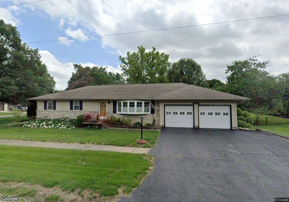
332 E Coal St Wataga, IL 61488
Estimated Value: $138,000 - $197,000
Studio
--
Bath
1,636
Sq Ft
$104/Sq Ft
Est. Value
About This Home
This home is located at 332 E Coal St, Wataga, IL 61488 and is currently estimated at $169,656, approximately $103 per square foot. 332 E Coal St is a home located in Knox County with nearby schools including R O W V A Jr/Sr High School.
Create a Home Valuation Report for This Property
The Home Valuation Report is an in-depth analysis detailing your home's value as well as a comparison with similar homes in the area
Tax History
| Year | Tax Paid | Tax Assessment Tax Assessment Total Assessment is a certain percentage of the fair market value that is determined by local assessors to be the total taxable value of land and additions on the property. | Land | Improvement |
|---|---|---|---|---|
| 2024 | $3,943 | $59,030 | $6,650 | $52,380 |
| 2023 | $3,943 | $49,930 | $6,230 | $43,700 |
| 2022 | $2,732 | $43,490 | $5,430 | $38,060 |
| 2021 | $2,495 | $40,270 | $5,030 | $35,240 |
| 2020 | $2,313 | $37,630 | $4,700 | $32,930 |
| 2019 | $2,335 | $37,630 | $4,700 | $32,930 |
| 2018 | $2,333 | $37,630 | $4,700 | $32,930 |
| 2017 | $2,417 | $38,400 | $4,800 | $33,600 |
| 2015 | -- | $38,400 | $4,800 | $33,600 |
| 2013 | $2,786 | $40,420 | $5,050 | $35,370 |
Source: Public Records
Map
Nearby Homes
- 237 N Union St
- 500 E Victoria St
- 126 N Depot St
- 176 Lakeview Dr
- 593 Knox Road 2000 N
- 2260 Knox Road 600 E
- 2381 Knox Road 600 E
- 2248 Knox Road 1240 E
- 109 E West St
- Lot 56 Country Club Estates Subdivision
- Lot 61 & 62 Country Club Estates Subdivision
- Lot 63 & 64 Country Club Estates Subdivision
- 2350 E Fremont St
- 1538 Oriole Dr
- 1347 Garden Ln
- 1241 Garden Ln
- 1223 Arcadia Dr
- 000 5th St
- 200 E 5th St
- 105 W Main St
Your Personal Tour Guide
Ask me questions while you tour the home.