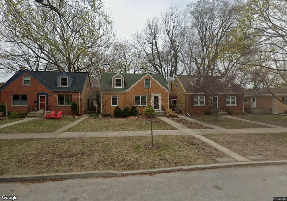
332 Florence Ave Evanston, IL 60202
Southwest Evanston NeighborhoodEstimated Value: $493,000 - $594,000
3
Beds
3
Baths
1,556
Sq Ft
$360/Sq Ft
Est. Value
About This Home
This home is located at 332 Florence Ave, Evanston, IL 60202 and is currently estimated at $559,748, approximately $359 per square foot. 332 Florence Ave is a home located in Cook County with nearby schools including Dawes Elementary School, Chute Middle School, and Evanston Township High School.
Ownership History
Date
Name
Owned For
Owner Type
Purchase Details
Closed on
Jan 28, 2000
Sold by
Sagan Marion
Bought by
Garfield Craig and Crow Aimee
Current Estimated Value
Home Financials for this Owner
Home Financials are based on the most recent Mortgage that was taken out on this home.
Original Mortgage
$207,100
Outstanding Balance
$63,249
Interest Rate
7.98%
Estimated Equity
$496,499
Purchase Details
Closed on
Jul 14, 1994
Sold by
Sagan Marion and Muno Marion
Bought by
Sagan Marion
Create a Home Valuation Report for This Property
The Home Valuation Report is an in-depth analysis detailing your home's value as well as a comparison with similar homes in the area
Home Values in the Area
Average Home Value in this Area
Purchase History
| Date | Buyer | Sale Price | Title Company |
|---|---|---|---|
| Garfield Craig | $218,000 | Chicago Title Insurance Co | |
| Sagan Marion | -- | -- |
Source: Public Records
Mortgage History
| Date | Status | Borrower | Loan Amount |
|---|---|---|---|
| Open | Garfield Craig | $207,100 |
Source: Public Records
Tax History
| Year | Tax Paid | Tax Assessment Tax Assessment Total Assessment is a certain percentage of the fair market value that is determined by local assessors to be the total taxable value of land and additions on the property. | Land | Improvement |
|---|---|---|---|---|
| 2025 | $8,806 | $56,000 | $13,338 | $42,662 |
| 2024 | $8,806 | $39,216 | $11,286 | $27,930 |
| 2023 | $8,423 | $39,216 | $11,286 | $27,930 |
| 2022 | $8,423 | $39,216 | $11,286 | $27,930 |
| 2021 | $8,974 | $36,698 | $8,208 | $28,490 |
| 2020 | $9,144 | $37,570 | $8,208 | $29,362 |
| 2019 | $9,758 | $44,541 | $8,208 | $36,333 |
| 2018 | $9,554 | $37,851 | $6,840 | $31,011 |
| 2017 | $9,753 | $39,454 | $6,840 | $32,614 |
| 2016 | $9,924 | $41,212 | $6,840 | $34,372 |
| 2015 | $8,057 | $32,251 | $5,643 | $26,608 |
| 2014 | $9,035 | $36,113 | $5,643 | $30,470 |
| 2013 | $8,810 | $36,113 | $5,643 | $30,470 |
Source: Public Records
Map
Nearby Homes
- 1800 Kirk St
- 1412 Brummel St Unit 2E
- 1517 Dobson St
- 1321 Brummel St
- 1217 Hull Terrace Unit 3A
- 1609 Howard St Unit 2
- 538 Wesley Ave
- 1736 Keeney St
- 2507 W Howard St
- 1104 Austin St
- 1507 Cleveland St
- 2109 Dobson St
- 704 Florence Ave
- 1815 Cleveland St
- 7446 N Rockwell St
- 2124 Brummel St
- 7516 N California Ave
- 2123 Howard St Unit 1H
- 439 Ridge Ave Unit 2
- 7425 N California Ave
- 328 Florence Ave
- 334 Florence Ave
- 324 Florence Ave
- 340 Florence Ave
- 316 Florence Ave
- 1608 Kirk St
- 348 Florence Ave
- 333 Dewey Ave
- 335 Dewey Ave
- 329 Dewey Ave
- 341 Dewey Ave
- 325 Dewey Ave
- 343 Dewey Ave
- 331 Florence Ave
- 335 Florence Ave
- 327 Florence Ave
- 349 Dewey Ave
- 339 Florence Ave
- 323 Florence Ave
- 343 Florence Ave
Your Personal Tour Guide
Ask me questions while you tour the home.