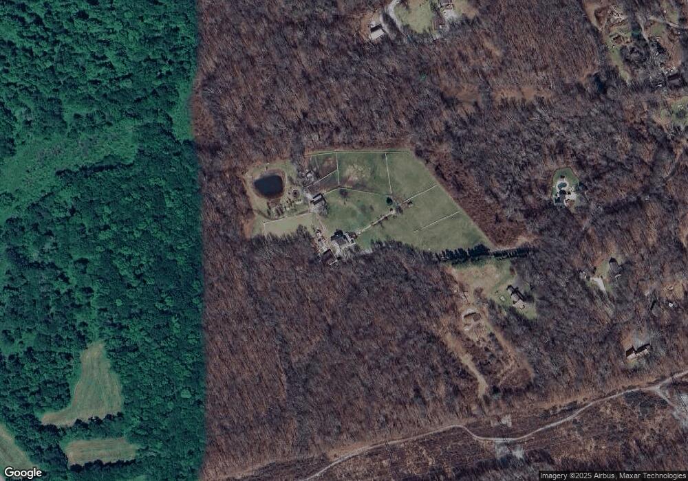
332 Hebron Rd Andover, CT 06232
Estimated Value: $415,000 - $672,000
3
Beds
3
Baths
2,468
Sq Ft
$222/Sq Ft
Est. Value
About This Home
This home is located at 332 Hebron Rd, Andover, CT 06232 and is currently estimated at $548,471, approximately $222 per square foot. 332 Hebron Rd is a home located in Tolland County with nearby schools including Andover Elementary School, RHAM Middle School, and RHAM High School.
Ownership History
Date
Name
Owned For
Owner Type
Purchase Details
Closed on
Aug 1, 2011
Sold by
Kishimoto Christina M
Bought by
Langlois Ronald and Langlois Suzanne
Current Estimated Value
Purchase Details
Closed on
Jul 18, 2001
Sold by
Dejesus Ada
Bought by
Kishimoto Christina
Purchase Details
Closed on
Dec 20, 1995
Sold by
Konrad Roderick
Bought by
Dejesus Ada and Dejesus Christina
Create a Home Valuation Report for This Property
The Home Valuation Report is an in-depth analysis detailing your home's value as well as a comparison with similar homes in the area
Home Values in the Area
Average Home Value in this Area
Purchase History
| Date | Buyer | Sale Price | Title Company |
|---|---|---|---|
| Langlois Ronald | $449,000 | -- | |
| Langlois Ronald | $449,000 | -- | |
| Kishimoto Christina | $109,000 | -- | |
| Kishimoto Christina | $109,000 | -- | |
| Dejesus Ada | $240,000 | -- | |
| Dejesus Ada | $240,000 | -- |
Source: Public Records
Mortgage History
| Date | Status | Borrower | Loan Amount |
|---|---|---|---|
| Open | Dejesus Ada | $38,300 | |
| Open | Dejesus Ada | $339,000 |
Source: Public Records
Tax History
| Year | Tax Paid | Tax Assessment Tax Assessment Total Assessment is a certain percentage of the fair market value that is determined by local assessors to be the total taxable value of land and additions on the property. | Land | Improvement |
|---|---|---|---|---|
| 2025 | $8,696 | $275,290 | $39,320 | $235,970 |
| 2024 | $8,661 | $275,290 | $39,320 | $235,970 |
| 2023 | $8,614 | $275,290 | $39,320 | $235,970 |
| 2022 | $8,785 | $275,290 | $39,320 | $235,970 |
| 2021 | $9,462 | $262,840 | $50,240 | $212,600 |
| 2020 | $9,629 | $270,390 | $49,190 | $221,200 |
| 2019 | $9,461 | $270,390 | $49,190 | $221,200 |
| 2018 | $8,508 | $250,590 | $49,190 | $201,400 |
| 2017 | $8,144 | $250,590 | $49,190 | $201,400 |
| 2016 | $9,022 | $293,700 | $72,800 | $220,900 |
| 2015 | $9,022 | $293,700 | $72,800 | $220,900 |
| 2014 | $9,022 | $293,700 | $72,800 | $220,900 |
Source: Public Records
Map
Nearby Homes
Your Personal Tour Guide
Ask me questions while you tour the home.