332 Herrell Rd Villa Rica, GA 30180
Estimated Value: $355,000 - $468,000
3
Beds
2
Baths
1,808
Sq Ft
$236/Sq Ft
Est. Value
About This Home
This home is located at 332 Herrell Rd, Villa Rica, GA 30180 and is currently estimated at $426,889, approximately $236 per square foot. 332 Herrell Rd is a home located in Carroll County with nearby schools including Glanton-Hindsman Elementary School, Villa Rica Middle School, and Villa Rica High School.
Ownership History
Date
Name
Owned For
Owner Type
Purchase Details
Closed on
Sep 28, 2001
Sold by
Phillips Bobby Dev I
Bought by
Smith Mark A and Smith Susan
Current Estimated Value
Purchase Details
Closed on
Sep 11, 2000
Sold by
Phillips Bobby Dev I
Bought by
Phillips Bobby Dev I
Purchase Details
Closed on
Apr 19, 2000
Sold by
Chastain Charles A
Bought by
Phillips Bobby Dev I
Purchase Details
Closed on
Feb 26, 1995
Sold by
Chastain Charles A
Bought by
Chastain Charles A
Purchase Details
Closed on
Apr 19, 1988
Bought by
Chastain Charles A
Create a Home Valuation Report for This Property
The Home Valuation Report is an in-depth analysis detailing your home's value as well as a comparison with similar homes in the area
Home Values in the Area
Average Home Value in this Area
Purchase History
| Date | Buyer | Sale Price | Title Company |
|---|---|---|---|
| Smith Mark A | $202,000 | -- | |
| Phillips Bobby Dev I | -- | -- | |
| Phillips Bobby Dev I | $152,400 | -- | |
| Chastain Charles A | -- | -- | |
| Chastain Charles A | -- | -- |
Source: Public Records
Tax History Compared to Growth
Tax History
| Year | Tax Paid | Tax Assessment Tax Assessment Total Assessment is a certain percentage of the fair market value that is determined by local assessors to be the total taxable value of land and additions on the property. | Land | Improvement |
|---|---|---|---|---|
| 2024 | $3,609 | $196,232 | $27,720 | $168,512 |
| 2023 | $3,590 | $176,238 | $22,177 | $154,061 |
| 2022 | $2,935 | $138,817 | $14,784 | $124,033 |
| 2021 | $2,630 | $117,875 | $11,828 | $106,047 |
| 2020 | $2,464 | $108,541 | $10,752 | $97,789 |
| 2019 | $2,357 | $101,692 | $10,752 | $90,940 |
| 2018 | $2,206 | $91,711 | $10,049 | $81,662 |
| 2017 | $2,213 | $91,711 | $10,049 | $81,662 |
| 2016 | $2,213 | $91,711 | $10,049 | $81,662 |
| 2015 | $2,121 | $79,848 | $13,470 | $66,379 |
| 2014 | $2,130 | $79,849 | $13,470 | $66,379 |
Source: Public Records
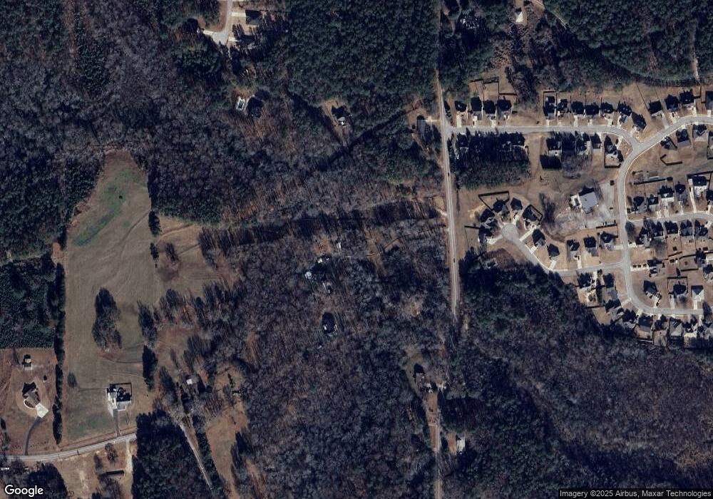
Map
Nearby Homes
- 320 Herrell Rd
- 321 Mccurdy Rd
- 321 Mccurdy Rd
- 300 Herrell Rd
- 424 Flowery Branch Ct
- 428 Flowery Branch Ct
- 410 Herrell Rd
- 400 Herrell Rd
- 420 Herrell Rd
- 101 Red Branch Dr Unit 77
- 101 Red Branch Dr
- 429 Flowery Branch Ct
- 426 Herrell Rd
- 343 Mccurdy Rd
- 285 Herrell Rd
- 105 Red Branch Dr
- 109 Red Branch Dr
- 425 Flowery Branch Ct
- 100 Red Branch Dr
- 100 Red Branch Dr