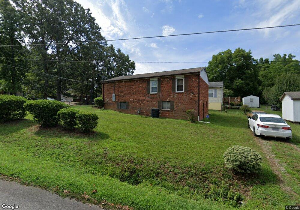
332 Hubbard St Reidsville, NC 27320
Estimated Value: $141,000 - $189,000
--
Bed
--
Bath
977
Sq Ft
$165/Sq Ft
Est. Value
About This Home
This home is located at 332 Hubbard St, Reidsville, NC 27320 and is currently estimated at $161,024, approximately $164 per square foot. 332 Hubbard St is a home located in Rockingham County with nearby schools including Reidsville High School, Moss Street Elementary, and Reidsville Middle School.
Ownership History
Date
Name
Owned For
Owner Type
Purchase Details
Closed on
Aug 23, 2011
Sold by
Millner Kenyatta D
Bought by
Millner Kenyatta D and Millner Minnie Florence
Current Estimated Value
Home Financials for this Owner
Home Financials are based on the most recent Mortgage that was taken out on this home.
Original Mortgage
$34,000
Interest Rate
4.54%
Mortgage Type
New Conventional
Create a Home Valuation Report for This Property
The Home Valuation Report is an in-depth analysis detailing your home's value as well as a comparison with similar homes in the area
Home Values in the Area
Average Home Value in this Area
Purchase History
| Date | Buyer | Sale Price | Title Company |
|---|---|---|---|
| Millner Kenyatta D | -- | None Available |
Source: Public Records
Mortgage History
| Date | Status | Borrower | Loan Amount |
|---|---|---|---|
| Closed | Millner Kenyatta D | $34,000 |
Source: Public Records
Tax History Compared to Growth
Tax History
| Year | Tax Paid | Tax Assessment Tax Assessment Total Assessment is a certain percentage of the fair market value that is determined by local assessors to be the total taxable value of land and additions on the property. | Land | Improvement |
|---|---|---|---|---|
| 2025 | $1,746 | $140,786 | $6,708 | $134,078 |
| 2024 | $1,746 | $140,786 | $6,708 | $134,078 |
| 2023 | $1,746 | $76,690 | $6,098 | $70,592 |
| 2022 | $1,100 | $76,690 | $6,098 | $70,592 |
| 2021 | $1,100 | $76,690 | $6,098 | $70,592 |
| 2020 | $1,100 | $76,690 | $6,098 | $70,592 |
| 2019 | $1,100 | $76,690 | $6,098 | $70,592 |
| 2018 | $1,116 | $77,703 | $10,241 | $67,462 |
| 2017 | $1,116 | $77,703 | $10,241 | $67,462 |
| 2015 | $1,127 | $77,703 | $10,241 | $67,462 |
| 2014 | -- | $77,703 | $10,241 | $67,462 |
Source: Public Records
Map
Nearby Homes
- 315 Hubbard St
- 00 Robinson Cir
- 802 Lawsonville Ave
- 403 Pennsylvania Ave
- 101 S Branch St
- 335 S Branch St
- 312 Church St
- 511 Barnes St
- 515 Barnes St
- 115 N Harris St
- 612 Thomas St
- 502 Thomas St
- 607 Lancaster Dr
- 137 Ridge St
- 816 Barnes St
- 00 E Morehead St
- 105 Edna St
- 802 Montgomery St
- 117 Ridge St
- 000 Hwy 158 Hwy
- 330 Hubbard St
- 328 Hubbard St
- 854 Robinson Cir
- 329 Hubbard St
- 404 Hubbard St
- 326 Hubbard St
- 327 Hubbard St
- 325 Hubbard St
- 324 Hubbard St
- 406 Hubbard St
- 846 Robinson Cir
- 323 Hubbard St
- 322 Hubbard St
- 851 Robinson Cir
- 608 E Morehead St
- 606 E Morehead St
- 610 E Morehead St
- 849 Robinson Cir
- 604 E Morehead St
- 612 E Morehead St