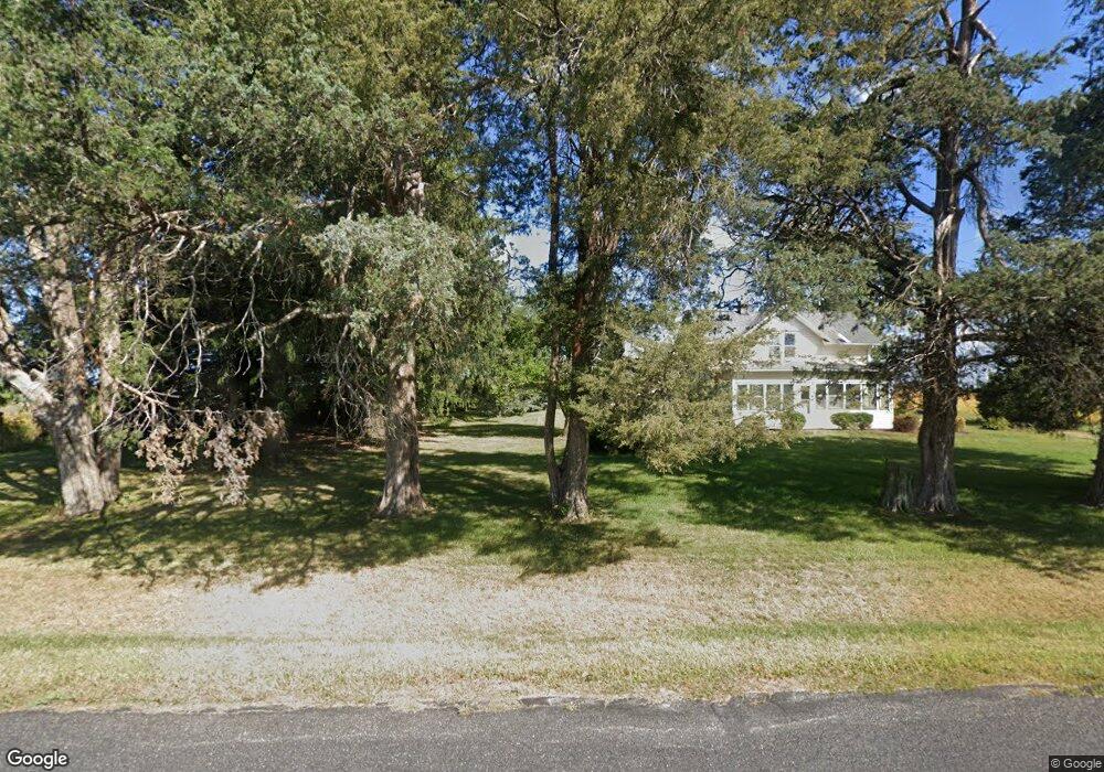
332 Koshkonong Rd Cambridge, WI 53523
Estimated Value: $155,000 - $493,000
Studio
--
Bath
--
Sq Ft
57,064
Sq Ft Lot
About This Home
This home is located at 332 Koshkonong Rd, Cambridge, WI 53523 and is currently estimated at $313,847. 332 Koshkonong Rd is a home located in Dane County with nearby schools including Cambridge Elementary School, Nikolay Middle School, and Cambridge High School.
Ownership History
Date
Name
Owned For
Owner Type
Purchase Details
Closed on
Jun 29, 2016
Sold by
Hill William R
Bought by
Hepta S Inc
Current Estimated Value
Purchase Details
Closed on
Jul 16, 2013
Sold by
Hill Diane
Bought by
Hill William
Create a Home Valuation Report for This Property
The Home Valuation Report is an in-depth analysis detailing your home's value as well as a comparison with similar homes in the area
Home Values in the Area
Average Home Value in this Area
Purchase History
| Date | Buyer | Sale Price | Title Company |
|---|---|---|---|
| Hepta S Inc | $258,000 | Attorney | |
| Hill William | -- | None Available |
Source: Public Records
Tax History
| Year | Tax Paid | Tax Assessment Tax Assessment Total Assessment is a certain percentage of the fair market value that is determined by local assessors to be the total taxable value of land and additions on the property. | Land | Improvement |
|---|---|---|---|---|
| 2025 | $3,701 | $311,500 | $131,200 | $180,300 |
| 2024 | $2,683 | $142,700 | $62,200 | $80,500 |
| 2023 | $2,701 | $142,700 | $62,200 | $80,500 |
| 2022 | $2,450 | $142,700 | $62,200 | $80,500 |
| 2021 | $1,911 | $142,700 | $62,200 | $80,500 |
| 2020 | $1,597 | $142,700 | $62,200 | $80,500 |
| 2019 | $1,603 | $142,700 | $62,200 | $80,500 |
| 2018 | $1,610 | $142,700 | $62,200 | $80,500 |
| 2017 | $1,833 | $142,700 | $62,200 | $80,500 |
| 2016 | $2,061 | $142,700 | $62,200 | $80,500 |
| 2015 | $2,071 | $142,700 | $62,200 | $80,500 |
| 2014 | $1,974 | $142,700 | $62,200 | $80,500 |
| 2013 | $2,346 | $149,100 | $62,200 | $86,900 |
Source: Public Records
Map
Nearby Homes
- 0 Adams St
- 441 Water St
- 64 Oakland Rd
- Lot 1 Clear View Rd
- .9 Ac Highway 12 18
- 104 & 106 Waverly Dr
- 123 Waverly Dr
- 214 Johnson St
- 510 W Madison St
- 109 S High St
- 410 Lawn St
- Lt4 Woodcrest Ln
- Lt3 Woodcrest Ln
- Lt2 Woodcrest Ln
- 405 Simonson St
- 614 Woodhaven Ct
- 708 Katie Ct
- 602 Woodhaven Ct
- 622 Drumlin Trail
- N4522 Park Rd
Your Personal Tour Guide
Ask me questions while you tour the home.