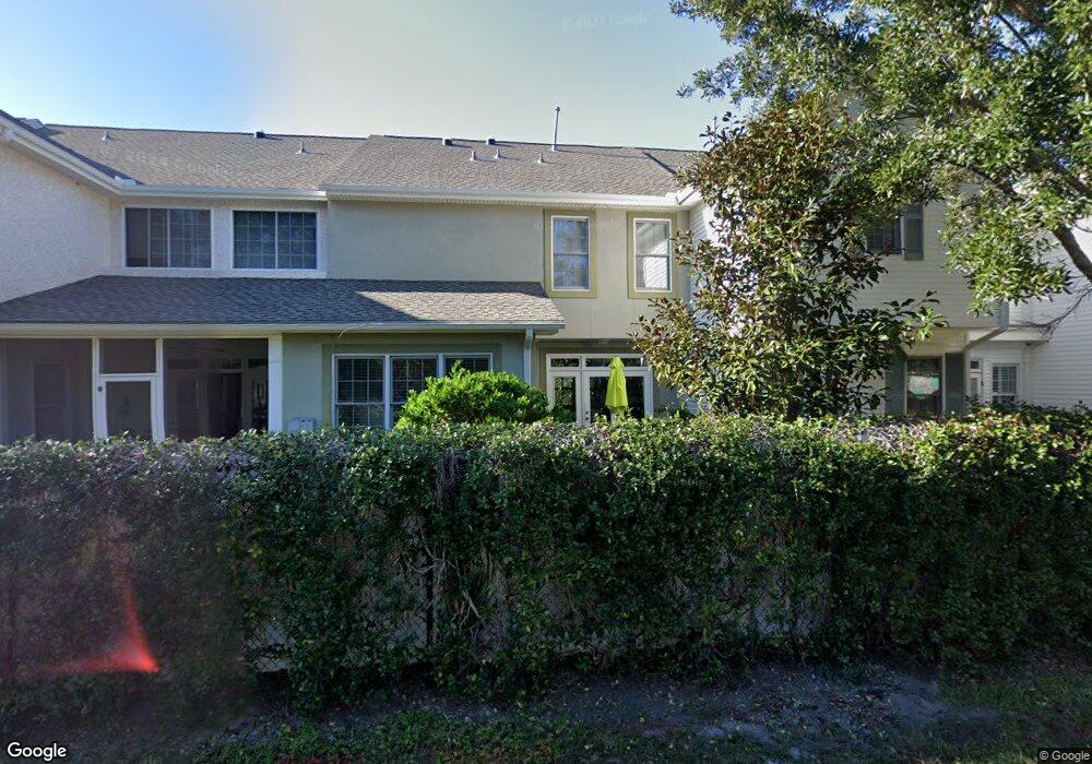
332 Lantern Walk Saint Simons Island, GA 31522
Estimated Value: $597,000 - $639,000
3
Beds
4
Baths
2,292
Sq Ft
$272/Sq Ft
Est. Value
About This Home
This home is located at 332 Lantern Walk, Saint Simons Island, GA 31522 and is currently estimated at $622,707, approximately $271 per square foot. 332 Lantern Walk is a home located in Glynn County with nearby schools including Oglethorpe Point Elementary School, Glynn Middle School, and Glynn Academy.
Ownership History
Date
Name
Owned For
Owner Type
Purchase Details
Closed on
Apr 19, 2019
Sold by
Burnet Alice Martin
Bought by
Coleman Evelyn S
Current Estimated Value
Purchase Details
Closed on
Jun 8, 2007
Sold by
Murphy Cheryl
Bought by
Burnet Alice Marie
Create a Home Valuation Report for This Property
The Home Valuation Report is an in-depth analysis detailing your home's value as well as a comparison with similar homes in the area
Home Values in the Area
Average Home Value in this Area
Purchase History
| Date | Buyer | Sale Price | Title Company |
|---|---|---|---|
| Coleman Evelyn S | $410,000 | -- | |
| Burnet Alice Marie | $442,000 | -- |
Source: Public Records
Tax History Compared to Growth
Tax History
| Year | Tax Paid | Tax Assessment Tax Assessment Total Assessment is a certain percentage of the fair market value that is determined by local assessors to be the total taxable value of land and additions on the property. | Land | Improvement |
|---|---|---|---|---|
| 2025 | $5,863 | $233,800 | $0 | $233,800 |
| 2024 | $3,794 | $151,280 | $0 | $151,280 |
| 2023 | $1,006 | $151,280 | $0 | $151,280 |
| 2022 | $1,143 | $151,280 | $0 | $151,280 |
| 2021 | $1,176 | $151,280 | $0 | $151,280 |
| 2020 | $1,206 | $151,280 | $0 | $151,280 |
| 2019 | $1,246 | $143,200 | $0 | $143,200 |
| 2018 | $1,246 | $143,200 | $0 | $143,200 |
| 2017 | $1,126 | $131,120 | $0 | $131,120 |
| 2016 | $2,973 | $131,120 | $0 | $131,120 |
| 2015 | $2,548 | $119,200 | $0 | $119,200 |
| 2014 | $2,548 | $113,400 | $0 | $113,400 |
Source: Public Records
Map
Nearby Homes
- 116 Ashwood Way
- 104 Ashwood Way
- 103 Travellers Way
- 622 Brockinton Point
- 101 Barkentine Ct Unit A-1
- 123 Shadow Wood Bend
- 129 Shadow Wood Bend
- 131 Shadow Wood Bend
- 156 Shady Brook Cir Unit 101
- 109 Shady Brook Cir Unit 301
- 222 Walmar Grove
- 99 Brook Dr
- 117 Quamley Wells Dr
- 150 Shady Brook Cir Unit 201
- 105 Brook Dr
- 306 Reserve Ln
- 146 Shady Brook Cir Unit 301
- 112 Brookfield Trace
- 361 Brockinton Marsh
- 512 Brockinton S
- 334 Lantern Walk
- 336 Lantern Walk
- 325 Lantern Walk
- 323 Lantern Walk
- 338 Lantern Walk
- 331 Lantern Walk
- 331 Lantern Walk
- 333 Lantern Walk
- 335 Lantern Walk
- 327 Lantern Walk
- 315 Lantern Walk
- 340 Lantern Walk
- 337 Lantern Walk
- 329 Lantern Walk
- 339 Lantern Walk
- 313 Lantern Walk
- 311 Lantern Walk
- 341 Lantern Walk
- 300 Lantern Walk
- 304 Lantern Walk