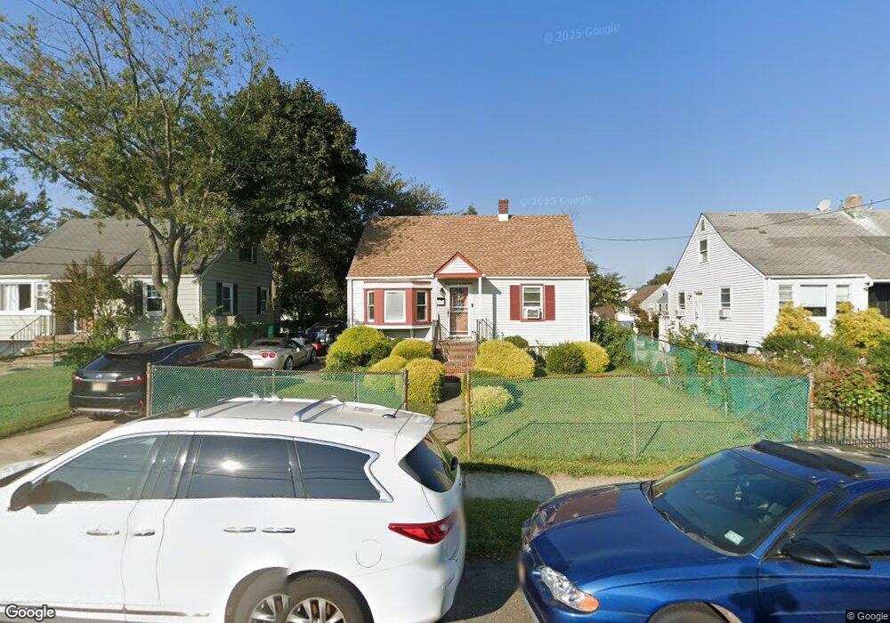
332 Long Branch Ave Long Branch, NJ 07740
Estimated Value: $484,000 - $617,000
4
Beds
1
Bath
1,152
Sq Ft
$460/Sq Ft
Est. Value
About This Home
This home is located at 332 Long Branch Ave, Long Branch, NJ 07740 and is currently estimated at $529,962, approximately $460 per square foot. 332 Long Branch Ave is a home located in Monmouth County with nearby schools including Long Branch High School and Holy Trinity School.
Ownership History
Date
Name
Owned For
Owner Type
Purchase Details
Closed on
Jul 6, 2008
Sold by
Greene Keysha
Bought by
Fitzgerald Lois M
Current Estimated Value
Purchase Details
Closed on
Apr 3, 2008
Sold by
Cohen Mark
Bought by
Greene Keysha
Purchase Details
Closed on
Jan 30, 1995
Sold by
Green Frederick
Bought by
Greene Barry and Fitzgerald Lois
Home Financials for this Owner
Home Financials are based on the most recent Mortgage that was taken out on this home.
Original Mortgage
$88,000
Interest Rate
9.18%
Mortgage Type
FHA
Create a Home Valuation Report for This Property
The Home Valuation Report is an in-depth analysis detailing your home's value as well as a comparison with similar homes in the area
Home Values in the Area
Average Home Value in this Area
Purchase History
| Date | Buyer | Sale Price | Title Company |
|---|---|---|---|
| Fitzgerald Lois M | -- | None Available | |
| Greene Keysha | -- | None Available | |
| Greene Barry | $89,000 | -- |
Source: Public Records
Mortgage History
| Date | Status | Borrower | Loan Amount |
|---|---|---|---|
| Previous Owner | Greene Barry | $88,000 |
Source: Public Records
Tax History Compared to Growth
Tax History
| Year | Tax Paid | Tax Assessment Tax Assessment Total Assessment is a certain percentage of the fair market value that is determined by local assessors to be the total taxable value of land and additions on the property. | Land | Improvement |
|---|---|---|---|---|
| 2025 | $6,385 | $467,800 | $297,900 | $169,900 |
| 2024 | $6,181 | $415,400 | $252,900 | $162,500 |
| 2023 | $6,181 | $398,000 | $242,900 | $155,100 |
| 2022 | $5,090 | $359,500 | $222,900 | $136,600 |
| 2021 | $5,090 | $269,600 | $141,800 | $127,800 |
| 2020 | $5,158 | $246,800 | $119,800 | $127,000 |
| 2019 | $4,896 | $232,900 | $111,800 | $121,100 |
| 2018 | $4,577 | $216,500 | $99,800 | $116,700 |
| 2017 | $4,252 | $206,300 | $91,800 | $114,500 |
| 2016 | $4,109 | $203,300 | $91,800 | $111,500 |
| 2015 | $3,899 | $175,100 | $54,100 | $121,000 |
| 2014 | $3,710 | $175,600 | $68,200 | $107,400 |
Source: Public Records
Map
Nearby Homes
- 172 Chelton Ave
- 381 Long Branch Ave
- 188 Chelton Ave
- 138 Rosewood Ave
- 323 Florence Ave
- 154 Atlantic Ave
- 231 Long Branch Ave
- 432 Ocean Blvd N Unit 506
- 432 Ocean Blvd N Unit 315
- 422 Ocean Blvd N Unit 5H
- 392 Florence Ave
- 164 Airsdale Ave
- 200 Ocean Ave N Unit 13
- 200 Ocean Ave N Unit 19
- 165 Kingsley St
- 40 Seaview Ave Unit A
- 9 Manahassett Park Dr
- 16 Shore Dr
- 28 Patten Ln
- 211 Rockwell Ave
- 328 Long Branch Ave
- 336 Long Branch Ave
- 130 Avenel Blvd
- 324 Long Branch Ave
- 340 Long Branch Ave
- 134 Avenel Blvd
- 320 Long Branch Ave
- 138 Avenel Blvd
- 316 Long Branch Ave
- 241 Chelton Ave
- 142 Avenel Blvd
- 358 Long Branch Ave
- 245 Chelton Ave
- 249 Chelton Ave
- 360 Long Branch Ave
- 345 Macarthur Ave
- 343 Macarthur Ave
- 347 Macarthur Ave
- 253 Chelton Ave
- 131 Avenel Blvd