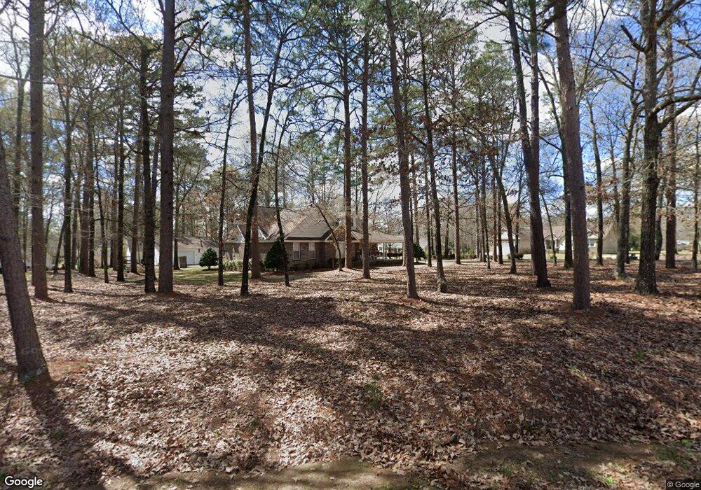
332 Mac Thompson Rd Cochran, GA 31014
Estimated Value: $285,000 - $353,000
3
Beds
3
Baths
2,657
Sq Ft
$117/Sq Ft
Est. Value
About This Home
This home is located at 332 Mac Thompson Rd, Cochran, GA 31014 and is currently estimated at $311,454, approximately $117 per square foot. 332 Mac Thompson Rd is a home located in Bleckley County with nearby schools including Bleckley County Primary School, Bleckley County Elementary School, and Bleckley Middle School.
Ownership History
Date
Name
Owned For
Owner Type
Purchase Details
Closed on
Sep 17, 2003
Sold by
State Bank Of Cochran
Bought by
Cannon Waymon M
Current Estimated Value
Purchase Details
Closed on
Aug 30, 2002
Sold by
Brady Billy
Bought by
State Bank Of Cochran
Purchase Details
Closed on
Nov 2, 2000
Sold by
Raffield Raymond R
Bought by
Brady Billy
Purchase Details
Closed on
Oct 27, 1996
Sold by
Raffield Ronald R
Bought by
Raffield Raymond R
Purchase Details
Closed on
Jan 27, 1995
Bought by
Raffield Ronald R
Create a Home Valuation Report for This Property
The Home Valuation Report is an in-depth analysis detailing your home's value as well as a comparison with similar homes in the area
Home Values in the Area
Average Home Value in this Area
Purchase History
| Date | Buyer | Sale Price | Title Company |
|---|---|---|---|
| Cannon Waymon M | $164,000 | -- | |
| State Bank Of Cochran | -- | -- | |
| Brady Billy | $16,000 | -- | |
| Raffield Raymond R | $10,000 | -- | |
| Raffield Ronald R | $9,300 | -- |
Source: Public Records
Tax History
| Year | Tax Paid | Tax Assessment Tax Assessment Total Assessment is a certain percentage of the fair market value that is determined by local assessors to be the total taxable value of land and additions on the property. | Land | Improvement |
|---|---|---|---|---|
| 2025 | $4,823 | $130,520 | $14,760 | $115,760 |
| 2024 | $4,159 | $111,800 | $7,328 | $104,472 |
| 2023 | $4,513 | $111,800 | $7,328 | $104,472 |
| 2022 | $2,439 | $111,800 | $8,120 | $103,680 |
| 2021 | $2,546 | $91,640 | $8,120 | $83,520 |
| 2020 | $2,556 | $91,640 | $8,120 | $83,520 |
| 2019 | $2,587 | $92,728 | $7,546 | $85,182 |
| 2018 | $3,749 | $92,728 | $7,546 | $85,182 |
| 2017 | $2,620 | $92,728 | $7,546 | $85,182 |
| 2016 | $2,646 | $92,727 | $7,546 | $85,182 |
| 2015 | -- | $92,727 | $7,546 | $85,182 |
| 2014 | -- | $92,727 | $7,546 | $85,182 |
| 2013 | -- | $92,727 | $7,545 | $85,181 |
Source: Public Records
Map
Nearby Homes
- 111 Marie Dr
- RV Park Mac Thompson Rd
- Land Mac Thompson Rd
- 119 Moll Dr
- 0 Mac Thompson Rd Unit 260249
- 0 Mac Thompson Rd Unit 16072590
- 0 Mac Thompson Rd Unit 261700
- 0 Willow Creek Run
- 159 Jockey Ln
- 116 Pecan St
- 118 Pecan St
- 112 Pecan St
- 140 Racetrack Dr
- 134 Easy St
- 0 Limestone Rd Unit 25839040
- 0 Limestone Rd Unit 10659326
- 0 Wood Oak Cir Unit 233873
- 0 Wood Oak Cir Unit 9278951
- 175 Wood Oak Cir
- 229 W Peter St
Your Personal Tour Guide
Ask me questions while you tour the home.