332 Mapleleaf Dr Kearneysville, WV 25430
Estimated Value: $359,000 - $471,000
3
Beds
2
Baths
1,953
Sq Ft
$205/Sq Ft
Est. Value
About This Home
This home is located at 332 Mapleleaf Dr, Kearneysville, WV 25430 and is currently estimated at $401,156, approximately $205 per square foot. 332 Mapleleaf Dr is a home located in Jefferson County with nearby schools including T.A. Lowery Elementary School, Shepherdstown Middle School, and Jefferson High School.
Ownership History
Date
Name
Owned For
Owner Type
Purchase Details
Closed on
Apr 6, 2009
Sold by
Bayview Loan Servicing Llc
Bought by
Kondaur Capital Corp
Current Estimated Value
Home Financials for this Owner
Home Financials are based on the most recent Mortgage that was taken out on this home.
Original Mortgage
$176,739
Interest Rate
4.92%
Mortgage Type
FHA
Purchase Details
Closed on
Mar 27, 2006
Sold by
Simmons Erica A and Simmons Robert G
Bought by
Simmons Robert G
Create a Home Valuation Report for This Property
The Home Valuation Report is an in-depth analysis detailing your home's value as well as a comparison with similar homes in the area
Home Values in the Area
Average Home Value in this Area
Purchase History
| Date | Buyer | Sale Price | Title Company |
|---|---|---|---|
| Kondaur Capital Corp | -- | None Available | |
| Simmons Robert G | -- | Turst Title |
Source: Public Records
Mortgage History
| Date | Status | Borrower | Loan Amount |
|---|---|---|---|
| Previous Owner | Kondaur Capital Corp | $176,739 |
Source: Public Records
Tax History Compared to Growth
Tax History
| Year | Tax Paid | Tax Assessment Tax Assessment Total Assessment is a certain percentage of the fair market value that is determined by local assessors to be the total taxable value of land and additions on the property. | Land | Improvement |
|---|---|---|---|---|
| 2024 | $1,771 | $151,300 | $52,200 | $99,100 |
| 2023 | $1,725 | $147,700 | $48,600 | $99,100 |
| 2022 | $1,609 | $135,000 | $48,600 | $86,400 |
| 2021 | $1,510 | $124,300 | $46,800 | $77,500 |
| 2020 | $1,416 | $124,400 | $46,800 | $77,600 |
| 2019 | $1,454 | $125,400 | $46,800 | $78,600 |
| 2018 | $1,337 | $113,800 | $37,800 | $76,000 |
| 2017 | $1,179 | $100,400 | $36,000 | $64,400 |
| 2016 | $1,114 | $95,100 | $30,700 | $64,400 |
| 2015 | $963 | $81,800 | $20,500 | $61,300 |
| 2014 | $962 | $81,800 | $20,500 | $61,300 |
Source: Public Records
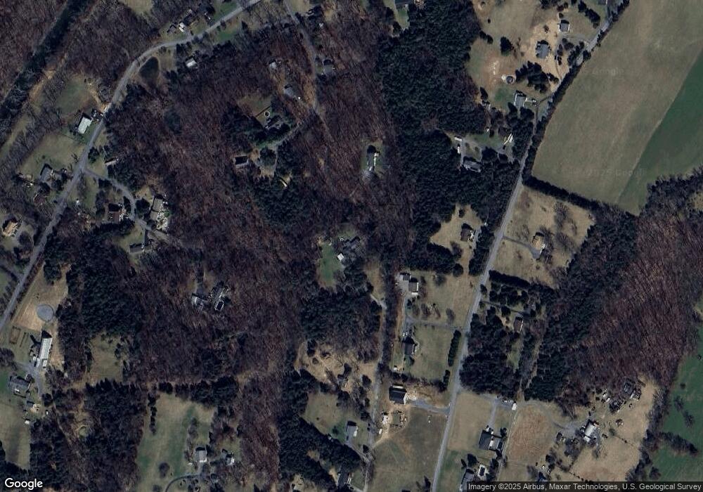
Map
Nearby Homes
- 808 Our Ln
- LOT 113 Mutual Dr
- 2968 Sulphur Springs Rd
- 353 Paragon Dr
- 241 Paragon Dr
- LOT 116 Mutual Dr
- LOT 130 Mutual Dr
- 3647 Inola Ct
- 1055 Inola Ct
- 5856 Inola Ct
- LOT 137 Inola Ct
- 2687 Mutual Dr
- LOT 20 Mutual Dr
- 1900 Mutual Dr
- 6812 Inola Ct
- 202 Inola Ct
- LOT 16 Mutual Dr
- LOT26 Mutual Dr
- 4199 Mutual Dr
- 550 Hillcrest Dr
- 101 Presley Ln
- 307 Wide Horizon Blvd
- 235 Wide Horizon Blvd
- 231 Mapleleaf Dr
- 152 Presley Ln
- 145 Garrett Ln
- 142 Presley Ln
- 100 Presley Ln
- 55 Presley Ln
- 262 Wide Horizon Blvd
- 191 Mapleleaf Dr
- 318 Wide Horizon Blvd
- 22 Sweet Spot Ln
- 379 Wide Horizon Blvd
- 55 Garrett Ln
- 391 Wide Horizon Blvd
- 70 Garrett Ln
- 0 Mapleleaf Dr
- 423 Wide Horizon Blvd
- 21 Presley Ln