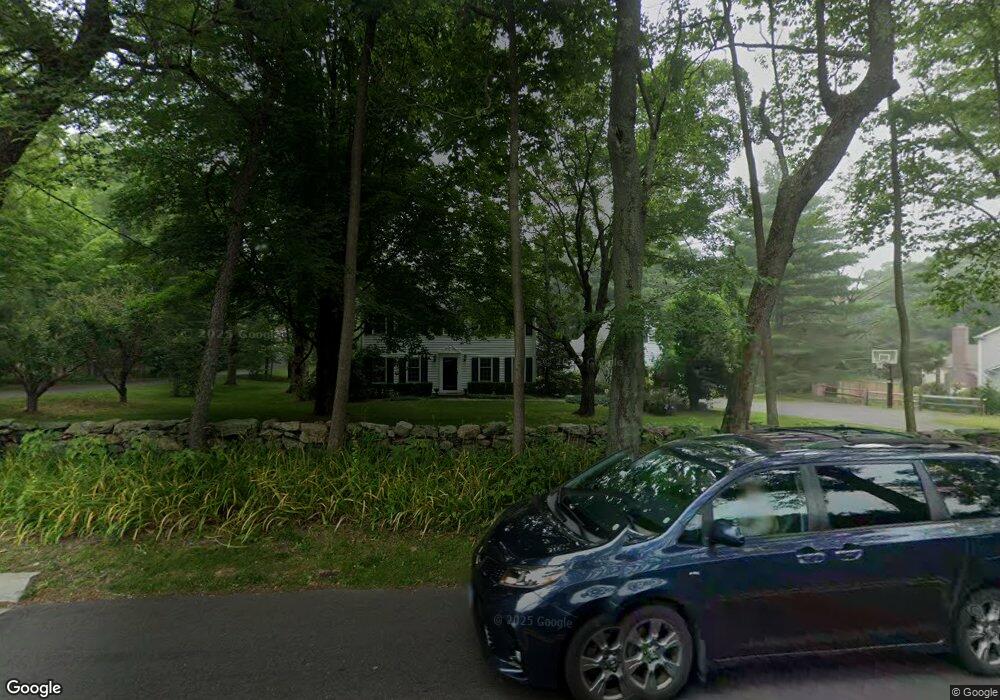
332 Middlesex Rd Darien, CT 06820
Estimated Value: $2,274,407 - $3,036,000
4
Beds
4
Baths
3,271
Sq Ft
$806/Sq Ft
Est. Value
About This Home
This home is located at 332 Middlesex Rd, Darien, CT 06820 and is currently estimated at $2,635,102, approximately $805 per square foot. 332 Middlesex Rd is a home located in Fairfield County with nearby schools including Royle Elementary School, Middlesex Middle School, and Darien High School.
Ownership History
Date
Name
Owned For
Owner Type
Purchase Details
Closed on
Sep 29, 2005
Sold by
Lupton Dorothy
Bought by
Calderwood Andrew A and Calderwood Katherine C
Current Estimated Value
Home Financials for this Owner
Home Financials are based on the most recent Mortgage that was taken out on this home.
Original Mortgage
$700,000
Outstanding Balance
$362,552
Interest Rate
5.25%
Estimated Equity
$2,272,550
Create a Home Valuation Report for This Property
The Home Valuation Report is an in-depth analysis detailing your home's value as well as a comparison with similar homes in the area
Home Values in the Area
Average Home Value in this Area
Purchase History
| Date | Buyer | Sale Price | Title Company |
|---|---|---|---|
| Calderwood Andrew A | $1,450,000 | -- |
Source: Public Records
Mortgage History
| Date | Status | Borrower | Loan Amount |
|---|---|---|---|
| Open | Calderwood Andrew A | $700,000 | |
| Previous Owner | Calderwood Andrew A | $164,000 | |
| Previous Owner | Calderwood Andrew A | $145,000 |
Source: Public Records
Tax History
| Year | Tax Paid | Tax Assessment Tax Assessment Total Assessment is a certain percentage of the fair market value that is determined by local assessors to be the total taxable value of land and additions on the property. | Land | Improvement |
|---|---|---|---|---|
| 2025 | $16,765 | $1,083,040 | $685,160 | $397,880 |
| 2024 | $15,910 | $1,083,040 | $685,160 | $397,880 |
| 2023 | $14,066 | $798,770 | $456,750 | $342,020 |
| 2022 | $13,763 | $798,770 | $456,750 | $342,020 |
| 2021 | $13,451 | $798,770 | $456,750 | $342,020 |
| 2020 | $13,068 | $798,770 | $456,750 | $342,020 |
| 2019 | $13,156 | $798,770 | $456,750 | $342,020 |
| 2018 | $14,726 | $915,810 | $560,000 | $355,810 |
| 2017 | $14,799 | $915,810 | $560,000 | $355,810 |
| 2016 | $14,442 | $915,810 | $560,000 | $355,810 |
| 2015 | $14,058 | $915,810 | $560,000 | $355,810 |
| 2014 | $13,746 | $915,810 | $560,000 | $355,810 |
Source: Public Records
Map
Nearby Homes
- 26 Holly Ln
- 10 Stony Brook Rd
- 5 Shields Ln
- 3 Revere Rd
- 223 Middlesex Rd
- 25 Lakeside Ave
- 15 Waterbury Ln
- 473 Hollow Tree Ridge Rd
- 3 Hickory Ln
- 7 Buttonwood Ln
- 561 Middlesex Rd
- 6 Ward Ln Unit 6
- 20 Locust Hill Rd
- 166 Hollow Tree Ridge Rd
- 167 Hollow Tree Ridge Rd
- 15 Charles St
- 2 Settlers Trail Unit 2
- 5 Wheat Ln
- 112 Camp Ave
- 77 Maple St
- 338 Middlesex Rd
- 330 Middlesex Rd
- 348 Middlesex Rd
- 337 Middlesex Rd
- 216 Leroy Ave
- 329 Middlesex Rd
- 350 Middlesex Rd
- 210 Leroy Ave
- 208 Leroy Ave
- 340 Middlesex Rd
- 5 High School Ln
- 327 Middlesex Rd
- 215 Leroy Ave
- 315 Middlesex Rd
- 207 Leroy Ave
- 227 Leroy Ave
- 17 Holly Ln
- 369 Middlesex Rd
- 15 Holly Ln
- 5 Midbrook Ln
Your Personal Tour Guide
Ask me questions while you tour the home.