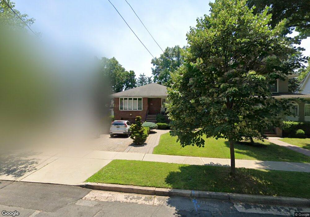
332 Moore Ave Leonia, NJ 07605
Estimated Value: $766,744 - $903,000
--
Bed
--
Bath
1,368
Sq Ft
$608/Sq Ft
Est. Value
About This Home
This home is located at 332 Moore Ave, Leonia, NJ 07605 and is currently estimated at $831,686, approximately $607 per square foot. 332 Moore Ave is a home located in Bergen County with nearby schools including Anna C. Scott Elementary School, Leonia Middle School, and Leonia High School.
Ownership History
Date
Name
Owned For
Owner Type
Purchase Details
Closed on
Jul 12, 2018
Sold by
Pecoraro Ernest J and Pecorado Sandra V
Bought by
Jillian Belgiovine Joy A and Jillian Pecorrao
Current Estimated Value
Purchase Details
Closed on
Jun 20, 2007
Sold by
Belgiovine Alexander
Bought by
Pecoraro Ernest J and Pecoraro Sandra
Purchase Details
Closed on
Jul 19, 2002
Sold by
Macgregor Gilbert W
Bought by
Belgiovine Alexander
Create a Home Valuation Report for This Property
The Home Valuation Report is an in-depth analysis detailing your home's value as well as a comparison with similar homes in the area
Home Values in the Area
Average Home Value in this Area
Purchase History
| Date | Buyer | Sale Price | Title Company |
|---|---|---|---|
| Jillian Belgiovine Joy A | -- | -- | |
| Pecoraro Ernest J | $475,000 | -- | |
| Belgiovine Alexander | $375,000 | -- |
Source: Public Records
Tax History Compared to Growth
Tax History
| Year | Tax Paid | Tax Assessment Tax Assessment Total Assessment is a certain percentage of the fair market value that is determined by local assessors to be the total taxable value of land and additions on the property. | Land | Improvement |
|---|---|---|---|---|
| 2025 | $15,402 | $451,800 | $280,000 | $171,800 |
| 2024 | $15,185 | $451,800 | $280,000 | $171,800 |
| 2023 | $14,385 | $451,800 | $280,000 | $171,800 |
| 2022 | $14,385 | $451,800 | $280,000 | $171,800 |
| 2021 | $14,462 | $451,800 | $280,000 | $171,800 |
| 2020 | $13,961 | $451,800 | $280,000 | $171,800 |
| 2019 | $13,473 | $451,800 | $280,000 | $171,800 |
| 2018 | $13,310 | $451,800 | $280,000 | $171,800 |
| 2017 | $13,152 | $451,800 | $280,000 | $171,800 |
| 2016 | $12,583 | $451,800 | $280,000 | $171,800 |
| 2015 | $12,610 | $451,800 | $280,000 | $171,800 |
| 2014 | $12,406 | $451,800 | $280,000 | $171,800 |
Source: Public Records
Map
Nearby Homes
- 323 E Oakdene Ave
- 111 Broad Ave
- 353 Oakdene Ave
- 531a 2nd St Unit A
- 539B 3rd St Unit B
- 533 Roff Ave
- 439 1st St
- 141 Moore Ave
- 86 W Oakdene Ave Unit 1
- 105 Reldyes Ave
- 218 Broad Ave Unit 2F
- 518 4th St Unit A
- 85 Paulin Blvd
- 136 Glenwood Ave
- 1585 Bergen Blvd
- 435 Park Ave
- 250 Broad Ave Unit 3C
- 250 Broad Ave Unit 4B
- 428 Washington Terrace
- 345 Roff Ave