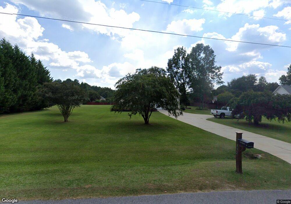
332 Old Pittard Rd Athens, GA 30601
Estimated Value: $386,000 - $438,000
4
Beds
3
Baths
2,400
Sq Ft
$171/Sq Ft
Est. Value
About This Home
This home is located at 332 Old Pittard Rd, Athens, GA 30601 and is currently estimated at $411,122, approximately $171 per square foot. 332 Old Pittard Rd is a home located in Clarke County with nearby schools including Judia Jackson Harris Elementary School, Coile Middle School, and Cedar Shoals High School.
Ownership History
Date
Name
Owned For
Owner Type
Purchase Details
Closed on
Aug 30, 2005
Sold by
Pridgen Jimmy E
Bought by
Pridgen Enterprises Inc
Current Estimated Value
Home Financials for this Owner
Home Financials are based on the most recent Mortgage that was taken out on this home.
Original Mortgage
$148,400
Outstanding Balance
$89,703
Interest Rate
7.99%
Mortgage Type
New Conventional
Estimated Equity
$321,419
Create a Home Valuation Report for This Property
The Home Valuation Report is an in-depth analysis detailing your home's value as well as a comparison with similar homes in the area
Home Values in the Area
Average Home Value in this Area
Purchase History
| Date | Buyer | Sale Price | Title Company |
|---|---|---|---|
| Pridgen Enterprises Inc | -- | -- | |
| Hubbard Arthur | $185,500 | -- |
Source: Public Records
Mortgage History
| Date | Status | Borrower | Loan Amount |
|---|---|---|---|
| Open | Hubbard Arthur | $148,400 | |
| Closed | Pridgen Enterprises Inc | $148,400 |
Source: Public Records
Tax History Compared to Growth
Tax History
| Year | Tax Paid | Tax Assessment Tax Assessment Total Assessment is a certain percentage of the fair market value that is determined by local assessors to be the total taxable value of land and additions on the property. | Land | Improvement |
|---|---|---|---|---|
| 2024 | $4,484 | $157,458 | $12,000 | $145,458 |
| 2023 | $3,202 | $137,478 | $12,000 | $125,478 |
| 2022 | $3,536 | $120,831 | $11,200 | $109,631 |
| 2021 | $2,782 | $92,544 | $11,200 | $81,344 |
| 2020 | $2,690 | $89,818 | $11,200 | $78,618 |
| 2019 | $2,085 | $71,427 | $11,200 | $60,227 |
| 2018 | $2,018 | $69,435 | $11,200 | $58,235 |
| 2017 | $1,948 | $67,378 | $11,200 | $56,178 |
| 2016 | $1,952 | $67,494 | $11,200 | $56,294 |
| 2015 | $1,908 | $66,107 | $11,200 | $54,907 |
| 2014 | $1,862 | $64,675 | $11,200 | $53,475 |
Source: Public Records
Map
Nearby Homes
- 336 Old Pittard Rd
- 519 Cheyenne Ave
- 300 Harve Mathis Rd
- 1226 Hull Rd
- 1309 Hull Rd
- 242 Pittard Rd
- 540 & 542 Harve Mathis Rd
- 1237 Hull Rd
- 525 Virginia Ln
- 130 Gumstand Dr
- 0 Highway 29 S Unit 1024268
- 0 Highway 29 S Unit 10475312
- 0 Woodland Creek Place Unit 10421130
- 481 Bedford Dr
- 0 Virginia Ln Unit Lot 15 CL336098
- 0 Virginia Ln Unit LOT 15 10579204
- 136 Wellington Dr
- 121 Sweetgum Way
- 328 Old Pittard Rd
- 3024 Lawton Ln
- 3008 Lawton Ln
- 324 Old Pittard Rd
- 3021 Lawton Ln
- 0 Lawton Ln Unit 7519218
- 0 Lawton Ln Unit 8377233
- 0 Lawton Ln
- 502 Cheyenne Ave
- 500 Cheyenne Ave
- 504 Cheyenne Ave
- 3015 Lawton Ln
- 320 Old Pittard Rd
- 114 Old Pittard Rd
- 503 Cheyenne Ave
- 501 Cheyenne Ave
- 3017 Lawton Ln
- 118 Old Pittard Rd
- 0 Old Pittard Rd Unit 8764625
- 0 Old Pittard Rd Unit 8148008