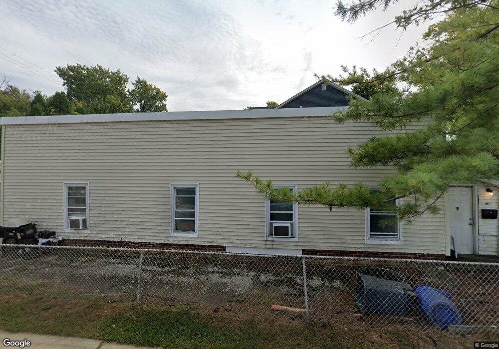
332 Port Monmouth Rd North Middletown, NJ 07748
Estimated Value: $555,000
4
Beds
3
Baths
2,087
Sq Ft
$266/Sq Ft
Est. Value
About This Home
This home is located at 332 Port Monmouth Rd, North Middletown, NJ 07748 and is currently estimated at $555,000, approximately $265 per square foot. 332 Port Monmouth Rd is a home located in Monmouth County with nearby schools including Ocean Avenue Elementary School, Thorne Middle School, and Middletown High School North.
Ownership History
Date
Name
Owned For
Owner Type
Purchase Details
Closed on
Feb 4, 2016
Sold by
Larsen Barbara A
Bought by
Mcadam Properties Llc
Current Estimated Value
Purchase Details
Closed on
Jun 26, 2008
Sold by
Larsen Barbara A and Estate Of Frank Toth
Bought by
Larsen Barbara A
Create a Home Valuation Report for This Property
The Home Valuation Report is an in-depth analysis detailing your home's value as well as a comparison with similar homes in the area
Home Values in the Area
Average Home Value in this Area
Purchase History
| Date | Buyer | Sale Price | Title Company |
|---|---|---|---|
| Mcadam Properties Llc | $75,000 | Stewart Title Company | |
| Larsen Barbara A | -- | None Available |
Source: Public Records
Tax History Compared to Growth
Tax History
| Year | Tax Paid | Tax Assessment Tax Assessment Total Assessment is a certain percentage of the fair market value that is determined by local assessors to be the total taxable value of land and additions on the property. | Land | Improvement |
|---|---|---|---|---|
| 2025 | $6,947 | $473,100 | $203,000 | $270,100 |
| 2024 | $5,967 | $422,300 | $157,100 | $265,200 |
| 2023 | $5,967 | $343,300 | $150,500 | $192,800 |
| 2022 | $5,766 | $315,500 | $131,900 | $183,600 |
| 2021 | $5,766 | $277,200 | $112,300 | $164,900 |
| 2020 | $5,469 | $255,800 | $94,700 | $161,100 |
| 2019 | $5,364 | $254,000 | $93,800 | $160,200 |
| 2018 | $5,125 | $236,500 | $83,700 | $152,800 |
| 2017 | $4,838 | $221,000 | $72,900 | $148,100 |
| 2016 | $4,933 | $231,500 | $70,200 | $161,300 |
| 2015 | $5,122 | $232,100 | $70,200 | $161,900 |
| 2014 | $5,447 | $240,700 | $92,700 | $148,000 |
Source: Public Records
Map
Nearby Homes
- 31 Ocean Ave
- 289 Port Monmouth Rd
- 31 Monmouth Ave
- 98 Seabreeze Ave
- 91 Monmouth Ave
- 71 Bay Ave
- 93 Monmouth Ave
- 231 Shore Blvd
- 10 Morningside Ave
- 443 Port Monmouth Rd E
- 170 Park Ave
- 280 Linden Ave
- 210 Ocean Ave
- 12 Orchard St
- 166 Shore Blvd
- 151 Shore Blvd
- 22 Carter Ave
- 0 Bray Ave Unit 22420777
- 0 Clinton St Unit 22238196
- 173 Forest Ave
- 332 Port Monmouth Rd Unit 3
- 332 Port Monmouth Rd Unit 2
- 7 Shoreland Terrace
- 326 Port Monmouth Rd
- 9 Shoreland Terrace
- 324 Port Monmouth Rd
- 62 Navesink Ave
- 336 Port Monmouth Rd
- 704 Monmouth Pkwy
- 325 Port Monmouth Rd
- 6 Shoreland Terrace
- 11 Shoreland Terrace
- 706 Monmouth Pkwy
- 10 Shoreland Terrace
- 340 Port Monmouth Rd
- 319 Port Monmouth Rd
- 708 Monmouth Pkwy
- 56 Navesink Ave
- 14 Shoreland Terrace
- 27 Shoreland Terrace