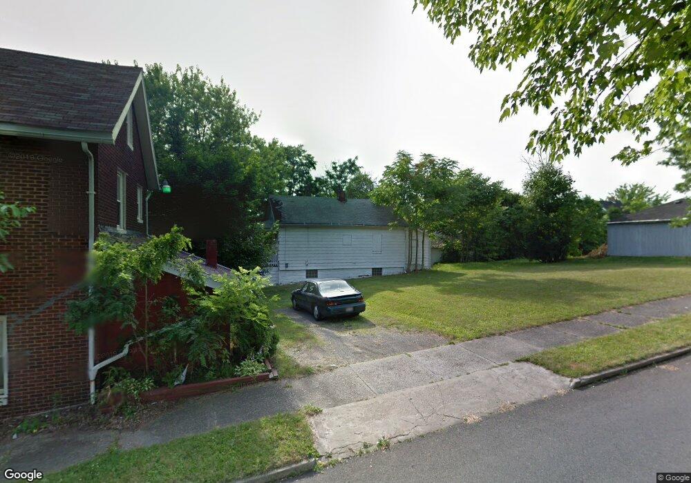
332 Robinson Rd Campbell, OH 44405
Estimated Value: $39,000 - $132,000
2
Beds
1
Bath
735
Sq Ft
$119/Sq Ft
Est. Value
About This Home
This home is located at 332 Robinson Rd, Campbell, OH 44405 and is currently estimated at $87,122, approximately $118 per square foot. 332 Robinson Rd is a home located in Mahoning County with nearby schools including Campbell Elementary School, Memorial High School, and Northeast Ohio Impact Academy.
Ownership History
Date
Name
Owned For
Owner Type
Purchase Details
Closed on
Sep 19, 2000
Sold by
Credit Corp Equity One Credit Cor
Bought by
Krinos George N
Current Estimated Value
Home Financials for this Owner
Home Financials are based on the most recent Mortgage that was taken out on this home.
Original Mortgage
$27,040
Interest Rate
7.98%
Purchase Details
Closed on
Oct 14, 1999
Sold by
Wellington Randall A
Bought by
Equity One Credit Corp and Charter One Credit Corp
Purchase Details
Closed on
Apr 27, 1994
Bought by
Arnold John G and Arnold Hazel J
Create a Home Valuation Report for This Property
The Home Valuation Report is an in-depth analysis detailing your home's value as well as a comparison with similar homes in the area
Home Values in the Area
Average Home Value in this Area
Purchase History
| Date | Buyer | Sale Price | Title Company |
|---|---|---|---|
| Krinos George N | $8,500 | -- | |
| Equity One Credit Corp | $8,400 | -- | |
| Arnold John G | $1,000 | -- |
Source: Public Records
Mortgage History
| Date | Status | Borrower | Loan Amount |
|---|---|---|---|
| Previous Owner | Krinos George N | $27,040 |
Source: Public Records
Tax History Compared to Growth
Tax History
| Year | Tax Paid | Tax Assessment Tax Assessment Total Assessment is a certain percentage of the fair market value that is determined by local assessors to be the total taxable value of land and additions on the property. | Land | Improvement |
|---|---|---|---|---|
| 2024 | $204 | $3,750 | $330 | $3,420 |
| 2023 | $201 | $3,750 | $330 | $3,420 |
| 2022 | $232 | $3,620 | $1,050 | $2,570 |
| 2021 | $218 | $3,620 | $1,050 | $2,570 |
| 2020 | $221 | $3,620 | $1,050 | $2,570 |
| 2019 | $237 | $3,420 | $990 | $2,430 |
| 2018 | $280 | $3,420 | $990 | $2,430 |
| 2017 | $240 | $3,420 | $990 | $2,430 |
| 2016 | $246 | $3,730 | $1,160 | $2,570 |
| 2015 | $253 | $3,730 | $1,160 | $2,570 |
| 2014 | $241 | $3,730 | $1,160 | $2,570 |
| 2013 | $271 | $3,730 | $1,160 | $2,570 |
Source: Public Records
Map
Nearby Homes
- 247 Reed Ave
- 134 Chambers St
- 115 Madison St
- 664 Tenney Ave
- 680 Tenney Ave
- 684 Devitt Ave
- 97 Rosary Dr
- 650 Penhale Ave
- 0 Penhale Ave
- 130 12th St
- 619 Robinson Rd
- 291 Struthers Liberty Rd
- 3307 Upland Ave
- 90 Frank St
- 746 Whipple Ave
- 528 Hyatt Ave
- 853 Almasy Dr
- 683 Robinson Rd
- 519 Blossom Ave
- 1414 Overlook Ave
- 338 Robinson Rd
- 330 Robinson Rd
- 344 Robinson Rd
- 22 16th St
- 327 Robinson Rd
- 325 Robinson Rd
- 314 Robinson Rd
- 331 Reed Ave
- 323 Robinson Rd
- 335 Reed Ave
- 321 Robinson Rd
- 10 Blackburn St
- 319 Robinson Rd
- 317 Robinson Rd
- 315 Robinson Rd
- 312 Robinson Rd
- 17 16th St
- 309 Robinson Rd
- 311 Robinson Rd
- 323 Reed Ave