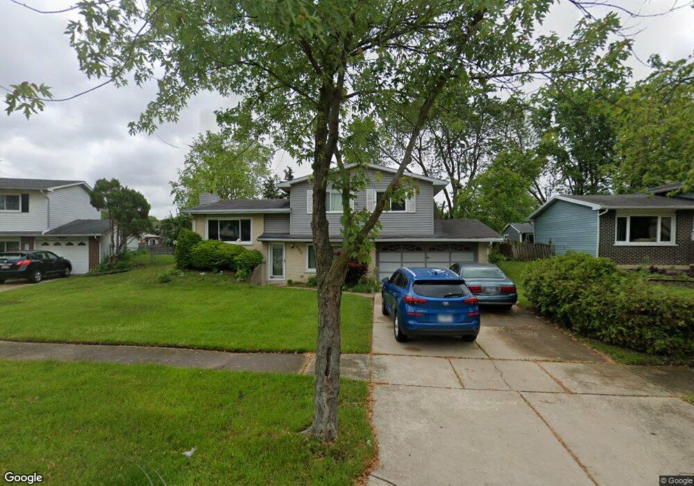
332 Ruth Cir Unit 1 Bolingbrook, IL 60440
East Bolingbrook NeighborhoodEstimated Value: $257,633 - $321,000
--
Bed
1
Bath
1,464
Sq Ft
$203/Sq Ft
Est. Value
About This Home
This home is located at 332 Ruth Cir Unit 1, Bolingbrook, IL 60440 and is currently estimated at $297,158, approximately $202 per square foot. 332 Ruth Cir Unit 1 is a home located in Will County with nearby schools including Oak View Elementary School, Bolingbrook High School, and Midwest Christian Montessori Academy.
Ownership History
Date
Name
Owned For
Owner Type
Purchase Details
Closed on
Jul 31, 1996
Sold by
Wright Steven J and Wright Terri L
Bought by
Peters John S and Peters Patricia M
Current Estimated Value
Home Financials for this Owner
Home Financials are based on the most recent Mortgage that was taken out on this home.
Original Mortgage
$107,800
Outstanding Balance
$8,612
Interest Rate
8.33%
Estimated Equity
$288,546
Create a Home Valuation Report for This Property
The Home Valuation Report is an in-depth analysis detailing your home's value as well as a comparison with similar homes in the area
Home Values in the Area
Average Home Value in this Area
Purchase History
| Date | Buyer | Sale Price | Title Company |
|---|---|---|---|
| Peters John S | $113,500 | -- |
Source: Public Records
Mortgage History
| Date | Status | Borrower | Loan Amount |
|---|---|---|---|
| Open | Peters John S | $107,800 |
Source: Public Records
Tax History Compared to Growth
Tax History
| Year | Tax Paid | Tax Assessment Tax Assessment Total Assessment is a certain percentage of the fair market value that is determined by local assessors to be the total taxable value of land and additions on the property. | Land | Improvement |
|---|---|---|---|---|
| 2024 | $5,719 | $88,824 | $18,808 | $70,016 |
| 2023 | $5,719 | $79,921 | $16,923 | $62,998 |
| 2022 | $6,389 | $70,640 | $14,958 | $55,682 |
| 2021 | $6,046 | $66,050 | $13,986 | $52,064 |
| 2020 | $5,854 | $63,878 | $13,526 | $50,352 |
| 2019 | $5,658 | $60,836 | $12,882 | $47,954 |
| 2018 | $5,247 | $56,522 | $11,969 | $44,553 |
| 2017 | $4,986 | $53,575 | $11,345 | $42,230 |
| 2016 | $4,833 | $51,000 | $10,800 | $40,200 |
| 2015 | $4,146 | $47,100 | $10,000 | $37,100 |
| 2014 | $4,146 | $43,200 | $9,200 | $34,000 |
| 2013 | $4,146 | $44,500 | $9,500 | $35,000 |
Source: Public Records
Map
Nearby Homes
- 3 Roanoke Ct
- 11 Roanoke Ct
- 8 Wildwood Ln Unit G
- 23 Wildwood Ln Unit G
- 223 Hywood Ln
- 227 Lexington Dr
- 6 Allegheny Ct
- 3 Merrimack Ct
- 2 Ava Ct
- 234 Dakota Ct Unit C
- 281 Dupage Dr
- 316 Pueblo Dr
- 141 N Lancaster Dr
- 112 Brook Ct
- 222 Aspen Ct
- 228 Elkhorn Ct Unit B
- 109 Arrowhead Ln
- 621 Sundance Dr
- 650 Sundance Dr
- 124 Wedgewood Way