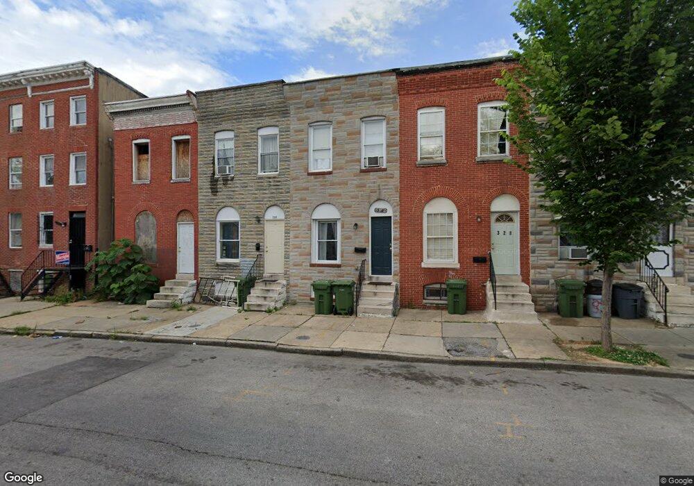
332 S Calhoun St Baltimore, MD 21223
Mount Clare NeighborhoodEstimated Value: $50,000
Studio
--
Bath
--
Sq Ft
915
Sq Ft Lot
About This Home
This home is located at 332 S Calhoun St, Baltimore, MD 21223 and is currently estimated at $50,000. 332 S Calhoun St is a home located in Baltimore City with nearby schools including Franklin Square Elementary/Middle School, Booker T. Washington Middle School, and Digital Harbor High School.
Ownership History
Date
Name
Owned For
Owner Type
Purchase Details
Closed on
Dec 6, 2006
Sold by
Intercoastal Investment Trust
Bought by
Driver Enterprises Llc
Current Estimated Value
Purchase Details
Closed on
Sep 3, 2003
Sold by
Steinberg Ellsworth H
Bought by
Ofield Linda
Purchase Details
Closed on
Feb 2, 1996
Sold by
Steinberg Ellsworth H
Bought by
Steinberg Ellsworth H
Create a Home Valuation Report for This Property
The Home Valuation Report is an in-depth analysis detailing your home's value as well as a comparison with similar homes in the area
Home Values in the Area
Average Home Value in this Area
Purchase History
| Date | Buyer | Sale Price | Title Company |
|---|---|---|---|
| Driver Enterprises Llc | $36,000 | -- | |
| Intercoastal Investment Trust | $21,000 | -- | |
| Ofield Linda | -- | -- | |
| Steinberg Ellsworth H | $36,000 | -- | |
| Steinberg Ellsworth H | $36,000 | -- |
Source: Public Records
Tax History
| Year | Tax Paid | Tax Assessment Tax Assessment Total Assessment is a certain percentage of the fair market value that is determined by local assessors to be the total taxable value of land and additions on the property. | Land | Improvement |
|---|---|---|---|---|
| 2025 | $1,010 | $44,000 | -- | -- |
| 2024 | $1,010 | $43,000 | -- | -- |
| 2023 | $986 | $42,000 | $9,000 | $33,000 |
| 2022 | $960 | $40,667 | $0 | $0 |
| 2021 | $928 | $39,333 | $0 | $0 |
| 2020 | $897 | $38,000 | $7,000 | $31,000 |
| 2019 | $893 | $38,000 | $7,000 | $31,000 |
| 2018 | $897 | $38,000 | $7,000 | $31,000 |
| 2017 | $1,416 | $60,000 | $0 | $0 |
| 2016 | $1,421 | $60,000 | $0 | $0 |
| 2015 | $1,421 | $60,000 | $0 | $0 |
| 2014 | $1,421 | $60,000 | $0 | $0 |
Source: Public Records
Map
Nearby Homes
- 340 S Calhoun St
- 346 S Calhoun St
- 348 S Calhoun St
- 1407 Mchenry St
- 307 S Calhoun St
- 324 S Woodyear St
- 1403 Ramsay St
- 305 S Stricker St
- 320 S Stricker St
- 1309 Kuper St
- 308 S Stricker St
- 1316 Mchenry St
- 319 S Parrish St
- 208 S Norris St
- 215 S Calhoun St
- 232 S Stricker St
- 413 S Parrish St
- 210 S Carey St
- 329 S Gilmor St
- 428 S Parrish St
- 330 S Calhoun St
- 334 S Calhoun St
- 328 S Calhoun St
- 336 S Calhoun St
- 326 S Calhoun St
- 338 S Calhoun St
- 324 S Calhoun St
- 322 S Calhoun St
- 342 S Calhoun St
- 344 S Calhoun St
- 320 S Calhoun St
- 1400 Ramsay St
- 1402 Ramsay St
- 317 S Norris St
- 321 S Norris St
- 323 S Norris St
- 319 S Norris St
- 318 S Calhoun St
- 315 S Norris St
- 1404 Ramsay St
Your Personal Tour Guide
Ask me questions while you tour the home.