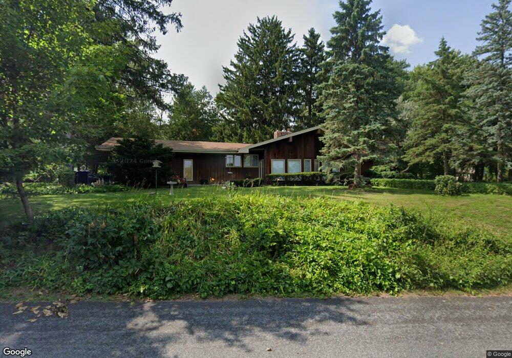
332 S Michigan St Eau Claire, WI 54703
Mount Washington NeighborhoodEstimated Value: $261,000 - $279,000
2
Beds
2
Baths
1,611
Sq Ft
$168/Sq Ft
Est. Value
About This Home
This home is located at 332 S Michigan St, Eau Claire, WI 54703 and is currently estimated at $270,534, approximately $167 per square foot. 332 S Michigan St is a home located in Eau Claire County with nearby schools including Lakeshore Elementary School, Delong Middle School, and Memorial High School.
Ownership History
Date
Name
Owned For
Owner Type
Purchase Details
Closed on
May 4, 2010
Sold by
Arnold Louis G
Bought by
Arnold Barbara E
Current Estimated Value
Home Financials for this Owner
Home Financials are based on the most recent Mortgage that was taken out on this home.
Original Mortgage
$100,000
Outstanding Balance
$67,386
Interest Rate
5.16%
Mortgage Type
New Conventional
Estimated Equity
$203,148
Purchase Details
Closed on
Dec 4, 2009
Sold by
Losby Doris M
Bought by
Arnold Family Trsut
Create a Home Valuation Report for This Property
The Home Valuation Report is an in-depth analysis detailing your home's value as well as a comparison with similar homes in the area
Home Values in the Area
Average Home Value in this Area
Purchase History
| Date | Buyer | Sale Price | Title Company |
|---|---|---|---|
| Arnold Barbara E | $133,000 | None Available | |
| Arnold Family Trsut | -- | None Available |
Source: Public Records
Mortgage History
| Date | Status | Borrower | Loan Amount |
|---|---|---|---|
| Open | Arnold Barbara E | $100,000 |
Source: Public Records
Tax History Compared to Growth
Tax History
| Year | Tax Paid | Tax Assessment Tax Assessment Total Assessment is a certain percentage of the fair market value that is determined by local assessors to be the total taxable value of land and additions on the property. | Land | Improvement |
|---|---|---|---|---|
| 2024 | $3,163 | $171,300 | $41,400 | $129,900 |
| 2023 | $2,872 | $171,300 | $41,400 | $129,900 |
| 2022 | $2,821 | $171,300 | $41,400 | $129,900 |
| 2021 | $2,755 | $171,300 | $41,400 | $129,900 |
| 2020 | $2,579 | $138,000 | $40,200 | $97,800 |
| 2019 | $2,556 | $138,000 | $40,200 | $97,800 |
| 2018 | $2,520 | $138,000 | $40,200 | $97,800 |
| 2017 | $2,855 | $132,400 | $34,600 | $97,800 |
| 2016 | $2,862 | $132,400 | $34,600 | $97,800 |
| 2014 | -- | $132,400 | $34,600 | $97,800 |
| 2013 | -- | $132,400 | $34,600 | $97,800 |
Source: Public Records
Map
Nearby Homes
- 1953 Francis St
- 205 Skyline Dr
- 217 Skyline Dr
- Lot #1 Mathews Dr
- 2208 W Menomonie St
- 308 Monte Carlo Dr
- 2523 Kenora Pkwy
- 902 Water St Unit 1-3
- 3155 Craig Rd
- 3215 Craig Rd
- 739 Broadway St
- 1817 Sunset Dr
- 1404 Silvermine Dr
- 424 6th Ave
- 540 Niagara St Unit 2
- 527 Broadway St
- 539 W Grand Ave
- 1117 Willow Green Cir
- 527 W Grand Ave
- 1536 11th St
- 328 S Michigan St
- 339 Ferry St
- 333 Ferry St
- 345 Ferry St
- 323 Ferry St
- 322 S Michigan St
- 102 Short St
- 319 Ferry St
- 344 Ferry St
- 344 Ferry St Unit 1
- 317 Ferry St
- 324 Ferry St
- 316 S Michigan St
- 0 Quarry St Unit 1576803
- 0 Quarry St
- 310 S Michigan St
- 309 Ferry St
- 304 S Michigan St
- 328 Ferry St
- 1513 Quarry St