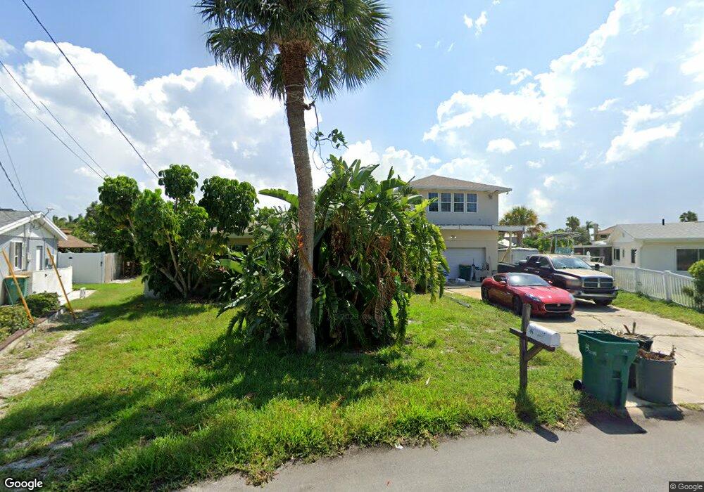
332 S Point Ct Satellite Beach, FL 32937
Estimated Value: $1,128,423 - $1,294,000
5
Beds
4
Baths
3,586
Sq Ft
$338/Sq Ft
Est. Value
About This Home
This home is located at 332 S Point Ct, Satellite Beach, FL 32937 and is currently estimated at $1,211,856, approximately $337 per square foot. 332 S Point Ct is a home located in Brevard County with nearby schools including Spessard L. Holland Elementary School, Satellite Senior High School, and DeLaura Middle School.
Ownership History
Date
Name
Owned For
Owner Type
Purchase Details
Closed on
Jan 18, 2017
Sold by
Wright Susan L
Bought by
Wills Paul M
Current Estimated Value
Purchase Details
Closed on
Sep 19, 2005
Sold by
Knudson Douglas M and Ryan Marilyn A
Bought by
Wills Paul M and Wills Susan W
Home Financials for this Owner
Home Financials are based on the most recent Mortgage that was taken out on this home.
Original Mortgage
$349,900
Interest Rate
5.86%
Purchase Details
Closed on
Jun 9, 2004
Sold by
Finley Michael and Finley Kathleen
Bought by
Knudson Douglas M and Ryan Marilyn A
Home Financials for this Owner
Home Financials are based on the most recent Mortgage that was taken out on this home.
Original Mortgage
$440,000
Interest Rate
5.37%
Create a Home Valuation Report for This Property
The Home Valuation Report is an in-depth analysis detailing your home's value as well as a comparison with similar homes in the area
Home Values in the Area
Average Home Value in this Area
Purchase History
| Date | Buyer | Sale Price | Title Company |
|---|---|---|---|
| Wills Paul M | -- | Attorney | |
| Wills Paul M | $649,900 | A1a Beachside Title Inc | |
| Knudson Douglas M | $600,000 | Republic Title Company |
Source: Public Records
Mortgage History
| Date | Status | Borrower | Loan Amount |
|---|---|---|---|
| Previous Owner | Wills Paul M | $349,900 | |
| Previous Owner | Knudson Douglas M | $440,000 | |
| Closed | Knudson Douglas M | $55,000 |
Source: Public Records
Tax History Compared to Growth
Tax History
| Year | Tax Paid | Tax Assessment Tax Assessment Total Assessment is a certain percentage of the fair market value that is determined by local assessors to be the total taxable value of land and additions on the property. | Land | Improvement |
|---|---|---|---|---|
| 2025 | $6,892 | $567,320 | -- | -- |
| 2024 | $6,829 | $551,340 | -- | -- |
| 2023 | $6,829 | $535,290 | $0 | $0 |
| 2022 | $6,383 | $519,700 | $0 | $0 |
| 2021 | $6,712 | $504,570 | $0 | $0 |
| 2020 | $6,676 | $497,610 | $247,500 | $250,110 |
| 2019 | $7,618 | $518,270 | $247,500 | $270,770 |
| 2018 | $7,756 | $520,960 | $247,500 | $273,460 |
| 2017 | $5,546 | $380,520 | $0 | $0 |
| 2016 | $5,508 | $362,390 | $214,500 | $147,890 |
| 2015 | $5,513 | $348,780 | $209,000 | $139,780 |
| 2014 | $4,793 | $298,930 | $192,500 | $106,430 |
Source: Public Records
Map
Nearby Homes
- 345 S Point Ct
- 437 N Neptune Dr
- 432 N Neptune Dr
- 429 S Neptune Dr
- 335 Coral Reef Dr
- 867 S Patrick Dr
- 11 Barbara Ct
- 336 Jupiter Dr
- 935 & 937 S Patrick Dr
- 27 Tortuga Trail
- 53 Emerald Ct
- 29 Tortuga Trail
- 31 Tortuga Trail
- 33 Tortuga Trail
- 35 Tortuga Trail
- 37 Tortuga Trail
- 313 Polaris Dr
- 695 Jackson Ct
- Pearson End Unit Plan at Tortuga Cay
- Pearson Interior Unit Plan at Tortuga Cay
- 461 S Waterway Dr
- 336 S Point Ct
- 463 Atlantis Dr
- 340 S Point Ct
- 466 Atlantis Dr
- 459 Atlantis Dr
- 333 S Point Ct
- 453 S Waterway Dr
- 455 Atlantis Dr
- 344 S Point Ct
- 452 S Waterway Dr
- 337 S Point Ct
- 799 Hawksbill Island Dr
- 462 Atlantis Dr
- 791 Hawksbill Island Dr
- 807 Hawksbill Island Dr
- 458 Atlantis Dr
- 449 S Waterway Dr
- 783 Hawksbill Island Dr
- 451 Atlantis Dr