332 Shawnee Path Akron, OH 44305
Goodyear Heights NeighborhoodEstimated Value: $19,000 - $77,000
4
Beds
2
Baths
1,716
Sq Ft
$28/Sq Ft
Est. Value
About This Home
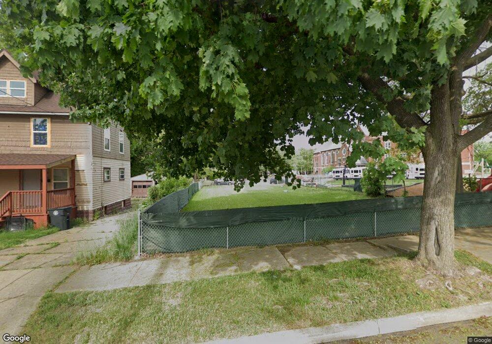
This home is located at 332 Shawnee Path, Akron, OH 44305 and is currently estimated at $48,000, approximately $27 per square foot. 332 Shawnee Path is a home located in Summit County with nearby schools including Seiberling Community Learning Center, Akron Preparatory school, and Middlebury Academy.
Ownership History
Date
Name
Owned For
Owner Type
Purchase Details
Closed on
Mar 31, 2020
Sold by
Summit County Land Reutilization Corpora
Bought by
Goodyear Heights Presbyterian
Current Estimated Value
Purchase Details
Closed on
Jan 30, 2020
Sold by
Morningview Properties
Bought by
Summit County Land Reutilization Corp
Create a Home Valuation Report for This Property
The Home Valuation Report is an in-depth analysis detailing your home's value as well as a comparison with similar homes in the area
Home Values in the Area
Average Home Value in this Area
Purchase History
| Date | Buyer | Sale Price | Title Company |
|---|---|---|---|
| Goodyear Heights Presbyterian | -- | None Listed On Document | |
| Summit County Land Reutilization Corp | -- | None Available |
Source: Public Records
Tax History
| Year | Tax Paid | Tax Assessment Tax Assessment Total Assessment is a certain percentage of the fair market value that is determined by local assessors to be the total taxable value of land and additions on the property. | Land | Improvement |
|---|---|---|---|---|
| 2025 | $277 | $5,268 | $5,268 | -- |
| 2024 | $277 | $5,268 | $5,268 | -- |
| 2023 | $239 | $5,268 | $5,268 | -- |
| 2022 | $239 | $3,584 | $3,584 | $0 |
| 2021 | $240 | $3,584 | $3,584 | $0 |
Source: Public Records
Map
Nearby Homes
- 310 Vaniman St
- 1551 Preston Ave
- 153 Cutler Pkwy
- 191 Colony Crescent
- 320 Para Ave
- 1438 Newton St
- 1529 Pilgrim St
- 1516 Newton St
- 1578 Pilgrim St
- 1584 Hampton Rd
- 1239 Pondview Ave
- 1603 Hampton Rd
- 1591 Pilgrim St
- 262 Sobul Ave
- 282 Sobul Ave
- 303 Barder Ave
- 1265 Newton St
- 250 Morningview Ave
- 204 Morningview Ave
- 1874 Adelaide Blvd
- 328 Shawnee Path
- 324 Shawnee Path
- 239 Pioneer St
- 235 Pioneer St
- 1459 Malasia Rd
- 321 Shawnee Path
- 1460 Goodyear Blvd
- 231 Pioneer St
- 1467 Malasia Rd
- 314 Shawnee Path
- 1466 Goodyear Blvd
- 1473 Malasia Rd
- 227 Pioneer St
- 1470 Goodyear Blvd
- 315 Shawnee Path
- 308 Shawnee Path
- 1478 Goodyear Blvd
- 311 Shawnee Path
- 223 Pioneer St
- 1485 Malasia Rd
Your Personal Tour Guide
Ask me questions while you tour the home.