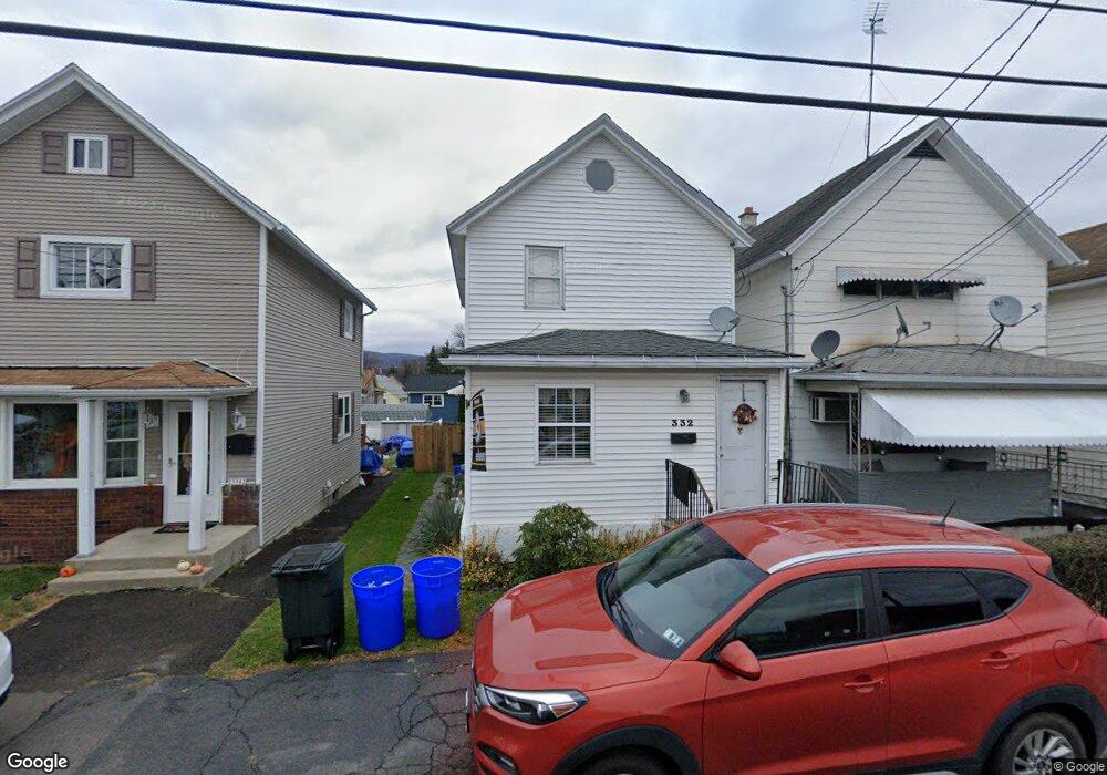
332 Theodore St Scranton, PA 18508
Tripp's Park NeighborhoodEstimated Value: $111,521 - $169,000
2
Beds
1
Bath
1,296
Sq Ft
$110/Sq Ft
Est. Value
About This Home
This home is located at 332 Theodore St, Scranton, PA 18508 and is currently estimated at $142,130, approximately $109 per square foot. 332 Theodore St is a home located in Lackawanna County with nearby schools including Neil Armstrong Elementary School, Northeast Scranton Intermediate School, and Scranton High School.
Ownership History
Date
Name
Owned For
Owner Type
Purchase Details
Closed on
Jul 28, 2006
Sold by
Kobrynich William E and Kobrynich Christine A
Bought by
Snedeker John F and Sendeker Michelle
Current Estimated Value
Home Financials for this Owner
Home Financials are based on the most recent Mortgage that was taken out on this home.
Original Mortgage
$82,000
Outstanding Balance
$48,990
Interest Rate
6.67%
Mortgage Type
New Conventional
Estimated Equity
$93,140
Create a Home Valuation Report for This Property
The Home Valuation Report is an in-depth analysis detailing your home's value as well as a comparison with similar homes in the area
Home Values in the Area
Average Home Value in this Area
Purchase History
| Date | Buyer | Sale Price | Title Company |
|---|---|---|---|
| Snedeker John F | $82,000 | None Available |
Source: Public Records
Mortgage History
| Date | Status | Borrower | Loan Amount |
|---|---|---|---|
| Open | Snedeker John F | $82,000 |
Source: Public Records
Tax History
| Year | Tax Paid | Tax Assessment Tax Assessment Total Assessment is a certain percentage of the fair market value that is determined by local assessors to be the total taxable value of land and additions on the property. | Land | Improvement |
|---|---|---|---|---|
| 2025 | $1,590 | $5,000 | $700 | $4,300 |
| 2024 | $1,452 | $5,000 | $700 | $4,300 |
| 2023 | $1,452 | $5,000 | $700 | $4,300 |
| 2022 | $1,420 | $5,000 | $700 | $4,300 |
| 2021 | $1,420 | $5,000 | $700 | $4,300 |
| 2020 | $1,393 | $5,000 | $700 | $4,300 |
| 2019 | $1,310 | $5,000 | $700 | $4,300 |
| 2018 | $1,310 | $5,000 | $700 | $4,300 |
| 2017 | $1,286 | $5,000 | $700 | $4,300 |
| 2016 | $380 | $5,000 | $700 | $4,300 |
| 2015 | $634 | $5,000 | $700 | $4,300 |
| 2014 | -- | $5,000 | $700 | $4,300 |
Source: Public Records
Map
Nearby Homes
- 328 Ferdinand St
- 309 Ferdinand St
- 1425 N Rebecca Ave
- 1402 N Rebecca Ave
- 1720 Mcdonough Ave
- 1436 Church Ave
- 1430 N Main Ave
- 1819 Clearview St Unit L 109
- 463 Oak St
- 805 Ferdinand St
- 214 William St
- 510 Oak St
- 116 Little Spike Way Unit L 40
- 2009-2011 Margaret Ave
- 1132 Lloyd St
- 418 Leggett St
- 817 Court St
- 1513 Meylert Ave
- 724 Court St
- 1057 Euclid Ave
- 334 Theodore St
- 330 Theodore St
- 328 Theodore St
- 336 Theodore St
- 338 Theodore St Unit L36
- 322 Theodore St Unit 324
- 324 Theodore St
- 331 Ferdinand St
- 329 Ferdinand St
- 327 Ferdinand St
- 335 Ferdinand St
- 339 Ferdinand St
- 344 Theodore St
- 323 Ferdinand St
- 318 Theodore St
- 341 Ferdinand St
- 346 Theodore St
- 343 Ferdinand St
- 319 Ferdinand St
- 316 Theodore St
Your Personal Tour Guide
Ask me questions while you tour the home.