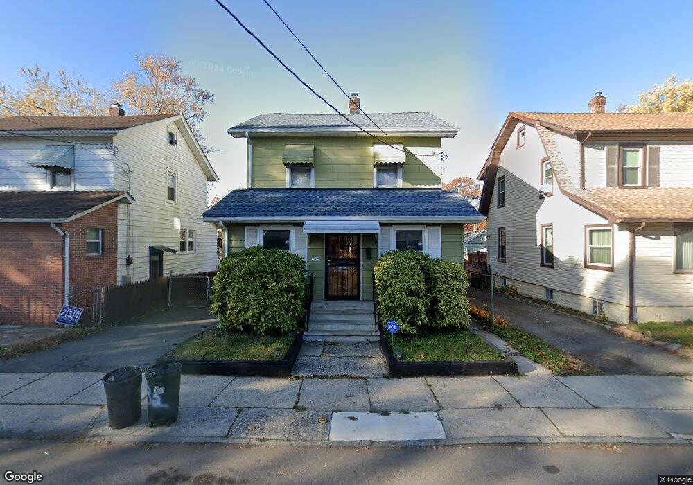
332 Tower St Vauxhall, NJ 07088
Estimated Value: $277,875 - $567,000
--
Bed
--
Bath
--
Sq Ft
3,746
Sq Ft Lot
About This Home
This home is located at 332 Tower St, Vauxhall, NJ 07088 and is currently estimated at $402,719. 332 Tower St is a home located in Union County with nearby schools including Union High School and St Michael Parish School.
Ownership History
Date
Name
Owned For
Owner Type
Purchase Details
Closed on
Nov 23, 2015
Sold by
Canty Tanya
Bought by
Mcdonald Robet and Mcdonald Canty-Mcdonald, T
Current Estimated Value
Purchase Details
Closed on
Jul 31, 2013
Sold by
Canty Tanya
Bought by
Canty Tanya and Canty Mcdonald Tany
Create a Home Valuation Report for This Property
The Home Valuation Report is an in-depth analysis detailing your home's value as well as a comparison with similar homes in the area
Home Values in the Area
Average Home Value in this Area
Purchase History
| Date | Buyer | Sale Price | Title Company |
|---|---|---|---|
| Mcdonald Robet | -- | -- | |
| Canty Tanya | -- | None Available |
Source: Public Records
Tax History Compared to Growth
Tax History
| Year | Tax Paid | Tax Assessment Tax Assessment Total Assessment is a certain percentage of the fair market value that is determined by local assessors to be the total taxable value of land and additions on the property. | Land | Improvement |
|---|---|---|---|---|
| 2025 | $4,828 | $21,600 | $9,500 | $12,100 |
| 2024 | $4,681 | $21,600 | $9,500 | $12,100 |
| 2023 | $4,681 | $21,600 | $9,500 | $12,100 |
| 2022 | $4,518 | $21,600 | $9,500 | $12,100 |
| 2021 | $4,408 | $21,600 | $9,500 | $12,100 |
| 2020 | $4,320 | $21,600 | $9,500 | $12,100 |
| 2019 | $4,262 | $21,600 | $9,500 | $12,100 |
| 2018 | $4,190 | $21,600 | $9,500 | $12,100 |
| 2017 | $4,128 | $21,600 | $9,500 | $12,100 |
| 2016 | $4,027 | $21,600 | $9,500 | $12,100 |
| 2015 | $3,960 | $21,600 | $9,500 | $12,100 |
| 2014 | $3,872 | $21,600 | $9,500 | $12,100 |
Source: Public Records
Map
Nearby Homes
- 385 Stiles St
- 2768 Vauxhall Rd
- 2140 Springfield Ave
- 257 Hilton Ave
- 297 Oswald Place
- 27 Roselyn Place
- 16 Hart Place
- 2 Hart Place
- 274 Indiana St
- 287 Ohio St
- 24 Manley Terrace
- 2282 Springfield Ave
- 28 Overlook Terrace
- 14 Melman Terrace
- 289 Indiana St
- 2281 Copper Hill Dr
- 784 Valley St
- 56 Broadview Ave
- 2269 Copper Hill Dr
- 2265 Copper Hill Dr