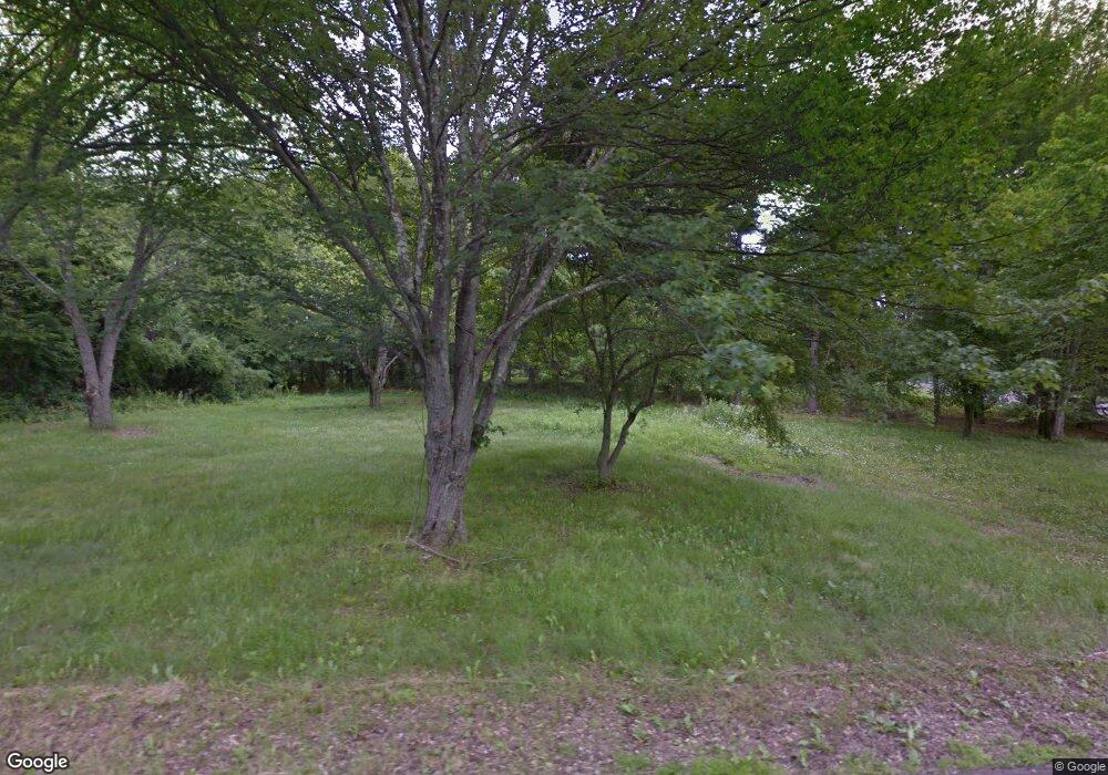
332 Triangle Blvd Middlebury, CT 06762
Estimated Value: $450,373
--
Bed
2
Baths
--
Sq Ft
0.48
Acres
About This Home
This home is located at 332 Triangle Blvd, Middlebury, CT 06762 and is currently estimated at $450,373. 332 Triangle Blvd is a home located in New Haven County with nearby schools including Long Meadow Elementary School, Memorial Middle School, and Pomperaug Regional High School.
Ownership History
Date
Name
Owned For
Owner Type
Purchase Details
Closed on
Oct 22, 2010
Sold by
Pettinato David
Bought by
Connecticut State Of
Current Estimated Value
Purchase Details
Closed on
Jan 24, 1989
Sold by
Deakyne Kenneth G
Bought by
Byczko Joseph S
Home Financials for this Owner
Home Financials are based on the most recent Mortgage that was taken out on this home.
Original Mortgage
$110,000
Interest Rate
10.38%
Mortgage Type
Purchase Money Mortgage
Create a Home Valuation Report for This Property
The Home Valuation Report is an in-depth analysis detailing your home's value as well as a comparison with similar homes in the area
Home Values in the Area
Average Home Value in this Area
Purchase History
| Date | Buyer | Sale Price | Title Company |
|---|---|---|---|
| Connecticut State Of | $240,000 | -- | |
| Connecticut State Of | $240,000 | -- | |
| Byczko Joseph S | $169,000 | -- |
Source: Public Records
Mortgage History
| Date | Status | Borrower | Loan Amount |
|---|---|---|---|
| Previous Owner | Byczko Joseph S | $92,000 | |
| Previous Owner | Byczko Joseph S | $108,000 | |
| Previous Owner | Byczko Joseph S | $110,000 |
Source: Public Records
Tax History Compared to Growth
Tax History
| Year | Tax Paid | Tax Assessment Tax Assessment Total Assessment is a certain percentage of the fair market value that is determined by local assessors to be the total taxable value of land and additions on the property. | Land | Improvement |
|---|---|---|---|---|
| 2025 | $0 | $57,000 | $57,000 | $0 |
| 2024 | $2,301 | $57,000 | $57,000 | $0 |
| 2023 | $2,301 | $57,000 | $57,000 | $0 |
| 2022 | $0 | $57,000 | $57,000 | $0 |
| 2021 | $0 | $65,300 | $65,300 | $0 |
| 2020 | $0 | $65,300 | $65,300 | $0 |
| 2019 | $0 | $65,300 | $65,300 | $0 |
| 2018 | $0 | $65,300 | $65,300 | $0 |
| 2017 | $0 | $65,300 | $65,300 | $0 |
| 2016 | $29 | $76,400 | $76,400 | $0 |
| 2015 | $2,301 | $76,400 | $76,400 | $0 |
| 2014 | $2,242 | $76,400 | $76,400 | $0 |
Source: Public Records
Map
Nearby Homes
- 6 Deer Run Rd
- 2 Deer Run Rd
- 14 Deer Run Rd
- 19 Deer Run Rd
- 18 Deer Run Rd
- 3 Hunting Ridge Rd
- 11 Hunting Ridge Rd
- 15 Hunting Ridge Rd
- 541 Benson Rd
- 28 Hunting Ridge Rd
- 7 White Birch Ln
- 4 White Birch Ln
- 11 White Birch Ln
- 23 Caveson Ct Unit 23
- 39 Independence Cir
- 8 Kimberwick Ct
- 1 Independence Cir
- 1070 Long Meadow Rd
- 440 Lake Shore Dr
- 919 Strongtown Rd
- 44 Hill Pkwy
- 300 Triangle Blvd
- 321 Triangle Blvd
- 24 Hill Pkwy
- 45 Hill Pkwy
- 56 Hill Pkwy
- 311 Triangle Blvd
- 25 Hill Pkwy
- 266 Triangle Blvd
- 301 Triangle Blvd
- 1318 Christian Rd
- 289 Triangle Blvd
- 68 Hill Pkwy
- 279 Triangle Blvd
- 67 Hill Pkwy
- 1332 Christian Rd
- 254 Triangle Blvd
- 1304 Christian Rd
- 7 Hill Pkwy
- 269 Triangle Blvd
