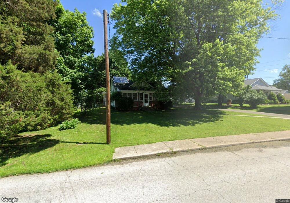
332 W Main St Mooresville, IN 46158
Estimated Value: $227,000 - $444,939
3
Beds
1
Bath
1,247
Sq Ft
$270/Sq Ft
Est. Value
About This Home
This home is located at 332 W Main St, Mooresville, IN 46158 and is currently estimated at $337,235, approximately $270 per square foot. 332 W Main St is a home with nearby schools including Mooresville High School and Mooresville Christian Academy.
Ownership History
Date
Name
Owned For
Owner Type
Purchase Details
Closed on
Jun 23, 2021
Sold by
Memorial Cove Llc
Bought by
Memorial Estates Llc
Current Estimated Value
Home Financials for this Owner
Home Financials are based on the most recent Mortgage that was taken out on this home.
Original Mortgage
$345,000
Outstanding Balance
$54,988
Interest Rate
2.9%
Mortgage Type
Future Advance Clause Open End Mortgage
Estimated Equity
$282,247
Purchase Details
Closed on
Dec 17, 2019
Sold by
Gross James D and Cross Judy A
Bought by
Memorial Cove Llc
Home Financials for this Owner
Home Financials are based on the most recent Mortgage that was taken out on this home.
Original Mortgage
$120,000
Interest Rate
3%
Mortgage Type
Seller Take Back
Create a Home Valuation Report for This Property
The Home Valuation Report is an in-depth analysis detailing your home's value as well as a comparison with similar homes in the area
Home Values in the Area
Average Home Value in this Area
Purchase History
| Date | Buyer | Sale Price | Title Company |
|---|---|---|---|
| Memorial Estates Llc | -- | Mtc | |
| Memorial Cove Llc | -- | Lenders Escrow & Title Svcs |
Source: Public Records
Mortgage History
| Date | Status | Borrower | Loan Amount |
|---|---|---|---|
| Open | Memorial Estates Llc | $345,000 | |
| Previous Owner | Memorial Cove Llc | $120,000 |
Source: Public Records
Tax History Compared to Growth
Tax History
| Year | Tax Paid | Tax Assessment Tax Assessment Total Assessment is a certain percentage of the fair market value that is determined by local assessors to be the total taxable value of land and additions on the property. | Land | Improvement |
|---|---|---|---|---|
| 2024 | $5,644 | $404,100 | $136,200 | $267,900 |
| 2023 | $5,997 | $441,300 | $136,200 | $305,100 |
| 2022 | $5,611 | $412,500 | $136,200 | $276,300 |
| 2021 | $2,972 | $223,700 | $35,400 | $188,300 |
| 2020 | $3,006 | $224,000 | $35,400 | $188,600 |
| 2019 | $1,862 | $211,900 | $34,100 | $177,800 |
| 2018 | $1,646 | $196,700 | $34,100 | $162,600 |
| 2017 | $1,616 | $193,900 | $34,100 | $159,800 |
| 2016 | $1,651 | $193,900 | $34,100 | $159,800 |
| 2014 | $1,343 | $185,700 | $33,900 | $151,800 |
| 2013 | $1,343 | $194,100 | $33,900 | $160,200 |
Source: Public Records
Map
Nearby Homes
- 18 W High St
- 124 S Indiana St
- 0 E Hadley Rd Unit MBR21956464
- 290 Northridge Dr
- 321 Maple Ln
- 215 E Main St
- 308 Bishop St
- 540 S R 267
- 32 Raesta Dr
- 91 North Dr
- 0 N S R 67 Unit 21524902
- 0 N S R 67 Unit 21524933
- 0 E Hendricks County Line Road Lot 2 Unit MBR22075477
- 1015 E Killian Dr
- Lot 6 Legacy Estates Rd
- Lot 4 Legacy Estates Rd
- Lot 3 Legacy Estates Rd
- Lot 2 Legacy Estates Rd
- Lot 5 Legacy Estates Rd
- Lot 1 Legacy Estates Rd