Estimated Value: $427,000 - $541,061
3
Beds
2
Baths
1,794
Sq Ft
$265/Sq Ft
Est. Value
About This Home
This home is located at 332 Wauwinet Rd, Barre, MA 01005 and is currently estimated at $475,015, approximately $264 per square foot. 332 Wauwinet Rd is a home with nearby schools including Quabbin Regional Middle School and Quabbin Regional High School.
Ownership History
Date
Name
Owned For
Owner Type
Purchase Details
Closed on
Jan 10, 2024
Sold by
Southwick Daniel M
Bought by
Leslie Michael J and Congdon-Leslie Lindsay M
Current Estimated Value
Purchase Details
Closed on
Sep 1, 2009
Sold by
Southwick David R
Bought by
Leslie Michael J and Congdon-Leslie Lindsay M
Home Financials for this Owner
Home Financials are based on the most recent Mortgage that was taken out on this home.
Original Mortgage
$36,800
Interest Rate
5.17%
Mortgage Type
Purchase Money Mortgage
Create a Home Valuation Report for This Property
The Home Valuation Report is an in-depth analysis detailing your home's value as well as a comparison with similar homes in the area
Home Values in the Area
Average Home Value in this Area
Purchase History
| Date | Buyer | Sale Price | Title Company |
|---|---|---|---|
| Leslie Michael J | $35,000 | None Available | |
| Leslie Michael J | $35,000 | None Available | |
| Leslie Michael J | $46,000 | -- | |
| Leslie Michael J | $46,000 | -- | |
| Leslie Michael J | $46,000 | -- |
Source: Public Records
Mortgage History
| Date | Status | Borrower | Loan Amount |
|---|---|---|---|
| Previous Owner | Leslie Michael J | $36,800 |
Source: Public Records
Tax History Compared to Growth
Tax History
| Year | Tax Paid | Tax Assessment Tax Assessment Total Assessment is a certain percentage of the fair market value that is determined by local assessors to be the total taxable value of land and additions on the property. | Land | Improvement |
|---|---|---|---|---|
| 2025 | $7,095 | $522,100 | $62,600 | $459,500 |
| 2024 | $7,005 | $501,100 | $59,000 | $442,100 |
| 2023 | $6,583 | $415,100 | $47,000 | $368,100 |
| 2022 | $6,285 | $373,200 | $40,600 | $332,600 |
| 2021 | $6,071 | $337,300 | $40,600 | $296,700 |
| 2020 | $5,845 | $327,100 | $40,600 | $286,500 |
| 2019 | $5,860 | $323,400 | $37,100 | $286,300 |
| 2018 | $5,552 | $295,300 | $37,100 | $258,200 |
| 2017 | $5,311 | $284,000 | $37,100 | $246,900 |
| 2016 | $4,802 | $269,800 | $33,600 | $236,200 |
| 2015 | $4,207 | $225,700 | $41,100 | $184,600 |
| 2014 | $2,839 | $176,800 | $48,200 | $128,600 |
Source: Public Records
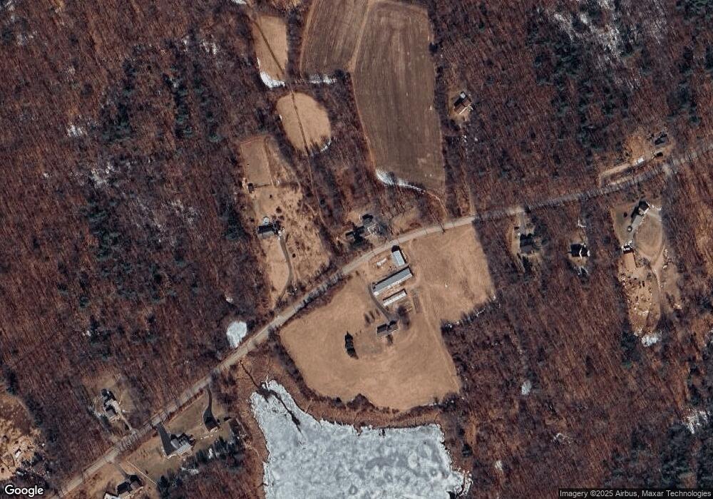
Map
Nearby Homes
- 326 Wauwinet Rd Unit 332
- 331 Wauwinet Rd
- 471 Wauwinet Rd
- 274 Wauwinet Rd
- 460 Wauwinet Rd
- 249 Wauwinet Rd
- 0 Wauwinet Road (Lot 8) Unit 71475277
- 473 Wauwinet Rd
- 223 Wauwinet Rd
- 291 Wauwinet Rd
- 500 Wauwinet Rd
- 199 Wauwinet Rd
- 200 Wauwinet Rd
- 324 Grogan Rd
- 345 Grogan Rd
- 528 Wauwinet Rd
- 525 Wauwinet Rd
- 325 Grogan Rd
- 305 Grogan Rd
- 289 Grogan Rd