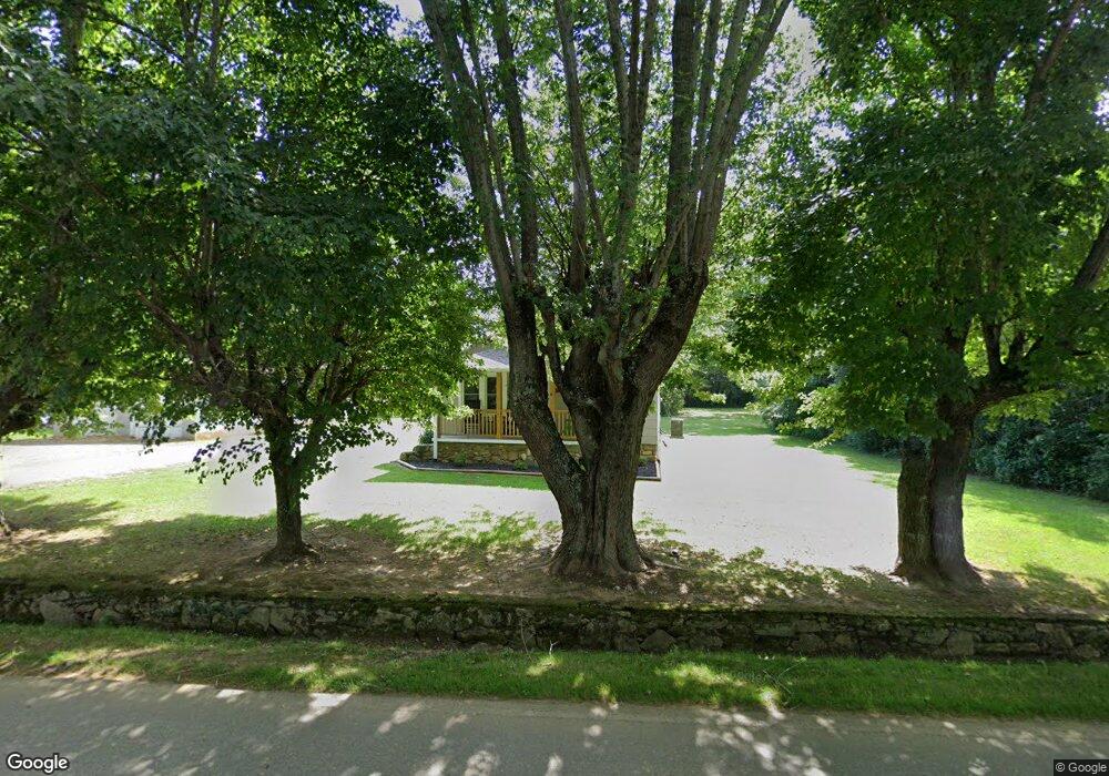
332 Wells Rd Canton, NC 28716
Estimated Value: $206,754 - $246,000
3
Beds
1
Bath
936
Sq Ft
$244/Sq Ft
Est. Value
About This Home
This home is located at 332 Wells Rd, Canton, NC 28716 and is currently estimated at $228,189, approximately $243 per square foot. 332 Wells Rd is a home located in Haywood County with nearby schools including Bethel Elementary, Bethel Middle School, and Pisgah High School.
Ownership History
Date
Name
Owned For
Owner Type
Purchase Details
Closed on
Dec 14, 2020
Sold by
Hall Sean D
Bought by
Rowland Wesley Hunter and Pressley Emily R
Current Estimated Value
Home Financials for this Owner
Home Financials are based on the most recent Mortgage that was taken out on this home.
Original Mortgage
$175,000
Outstanding Balance
$159,817
Interest Rate
4.38%
Mortgage Type
New Conventional
Estimated Equity
$68,372
Purchase Details
Closed on
Oct 30, 2012
Sold by
Hall Martin D and Hall Laurie Ann
Bought by
Hall Sean D
Home Financials for this Owner
Home Financials are based on the most recent Mortgage that was taken out on this home.
Original Mortgage
$51,300
Interest Rate
4.25%
Mortgage Type
Adjustable Rate Mortgage/ARM
Create a Home Valuation Report for This Property
The Home Valuation Report is an in-depth analysis detailing your home's value as well as a comparison with similar homes in the area
Home Values in the Area
Average Home Value in this Area
Purchase History
| Date | Buyer | Sale Price | Title Company |
|---|---|---|---|
| Rowland Wesley Hunter | $175,000 | None Listed On Document | |
| Rowland Wesley Hunter | $175,000 | None Listed On Document | |
| Hall Sean D | $48,000 | None Available |
Source: Public Records
Mortgage History
| Date | Status | Borrower | Loan Amount |
|---|---|---|---|
| Open | Rowland Wesley Hunter | $175,000 | |
| Closed | Rowland Wesley Hunter | $175,000 | |
| Previous Owner | Hall Sean D | $51,300 |
Source: Public Records
Tax History
| Year | Tax Paid | Tax Assessment Tax Assessment Total Assessment is a certain percentage of the fair market value that is determined by local assessors to be the total taxable value of land and additions on the property. | Land | Improvement |
|---|---|---|---|---|
| 2025 | -- | $100,600 | $13,500 | $87,100 |
| 2024 | $8 | $100,600 | $13,500 | $87,100 |
| 2023 | $798 | $100,600 | $13,500 | $87,100 |
| 2022 | $783 | $100,600 | $13,500 | $87,100 |
| 2021 | $783 | $100,600 | $13,500 | $87,100 |
| 2020 | $507 | $51,900 | $13,500 | $38,400 |
| 2019 | $512 | $51,900 | $13,500 | $38,400 |
| 2018 | $512 | $51,900 | $13,500 | $38,400 |
| 2017 | $507 | $51,900 | $0 | $0 |
| 2016 | $467 | $47,200 | $0 | $0 |
| 2015 | $467 | $47,200 | $0 | $0 |
| 2014 | $383 | $47,200 | $0 | $0 |
Source: Public Records
Map
Nearby Homes
- 3760 Pisgah Dr
- 99 Thistle Ridge
- 800 Murray Rd
- 36 Lambert Ln
- 00 Cove Creek Rd
- 706 Ramble Ln
- 88 Brown Bear Way
- 50 Feather Ln Unit 50
- 50 Feather Ln
- 183 Lunar Trace Rd
- 1901 Murray Rd
- 57 Eden Brook Dr
- TBD Tracy Ln
- 248 Max Thompson Rd
- 32 Windy Hill Ln
- 133 Windy Hill Ln
- 600 Scottdale Rd
- 57 Bittersweet Trail
- 4 Mayapple Ln
- 111 Dawn Dr
- 15 Harry Rogers Rd
- 45 Harry Rogers Rd
- 334 Wells Rd
- 317 Wells Rd
- 336 Wells Rd
- 355 Wells Rd
- 26 Harry Rogers Rd
- 46 Harry Rogers Rd
- 390 Wells Rd
- 57 Harry Rogers Rd
- 41 Cloverleaf Ln
- 54 Lee Rd
- 36 Cloverleaf Ln
- 49 Cloverleaf Ln
- 196 Osborne Farm Rd
- 78 Harry Rogers Rd
- 142 Mulberry Ln
- 176 Osborne Farm Rd
- 54 Cloverleaf Ln
Your Personal Tour Guide
Ask me questions while you tour the home.