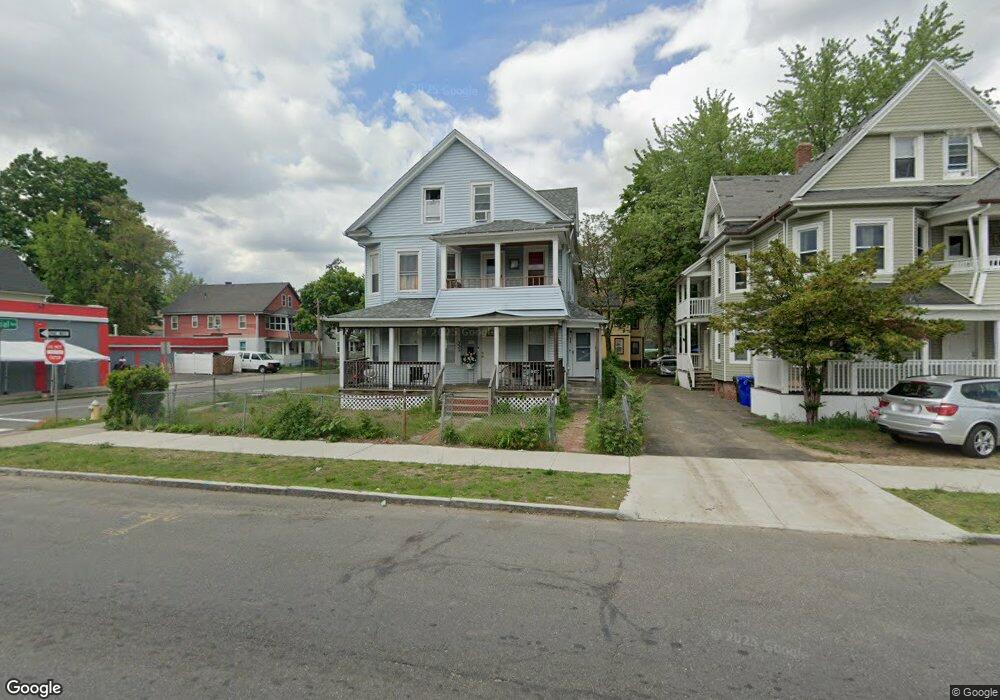
332 Wilbraham Rd Unit 334 Springfield, MA 01109
Upper Hill NeighborhoodEstimated Value: $329,000 - $374,000
About This Home
This home is located at 332 Wilbraham Rd Unit 334, Springfield, MA 01109 and is currently estimated at $355,000, approximately $111 per square foot. 332 Wilbraham Rd Unit 334 is a home located in Hampden County with nearby schools including Homer Street Elementary School, John J Duggan Middle, and Springfield High School of Science and Technology.
Ownership History
Purchase Details
Purchase Details
Purchase Details
Home Financials for this Owner
Home Financials are based on the most recent Mortgage that was taken out on this home.Home Values in the Area
Average Home Value in this Area
Purchase History
We collect this data history from publicly available records. To have your information removed, we recommend requesting removal directly through your county’s website.
| Date | Buyer | Sale Price | Title Company |
|---|---|---|---|
| Pierla Marilyn | $40,000 | -- | |
| Us Bank Na | $56,000 | -- | |
| Paul Wadner | $135,000 | -- |
Mortgage History
We collect this data history from publicly available records. To have your information removed, we recommend requesting removal directly through your county’s website.
| Date | Status | Borrower | Loan Amount |
|---|---|---|---|
| Previous Owner | Paul Wadner | $121,500 |
Tax History
| Year | Tax Paid | Tax Assessment Tax Assessment Total Assessment is a certain percentage of the fair market value that is determined by local assessors to be the total taxable value of land and additions on the property. | Land | Improvement |
|---|---|---|---|---|
| 2025 | $4,118 | $262,600 | $31,200 | $231,400 |
| 2024 | $3,808 | $237,100 | $31,200 | $205,900 |
| 2023 | $3,702 | $215,400 | $28,300 | $187,100 |
| 2022 | $4,031 | $214,200 | $26,500 | $187,700 |
| 2021 | $3,406 | $180,200 | $18,800 | $161,400 |
| 2020 | $3,326 | $170,300 | $18,800 | $151,500 |
| 2019 | $3,035 | $154,200 | $16,000 | $138,200 |
| 2018 | $2,887 | $146,700 | $16,000 | $130,700 |
| 2017 | $2,798 | $142,300 | $15,100 | $127,200 |
| 2016 | $2,420 | $123,100 | $15,100 | $108,000 |
| 2015 | $2,376 | $120,800 | $15,100 | $105,700 |
Map
- 31-33 Suffolk St
- 119-121 Middlesex St
- 87 Fenwick St
- 21 Westford Cir
- 115-117 Northampton Ave
- 49 Andrew St
- 108-110 Northampton Ave
- 746-748 Alden St
- 44-46 Edgewood St
- 485 Bay St
- 158 Bowles St
- 105 Overlook Dr
- 11 Judith St
- 108 Alden St
- 118 Quincy St
- 152 Ambrose St
- 109 Pendleton Ave
- 41 Loretta St
- 20 Conklin St
- 88 Tyler St
- 338 Wilbraham Rd
- 0 Colonial Ave (Es) L: Unit 71236541
- 67 Colonial Ave
- 342 Wilbraham Rd
- 342 Wilbraham Rd Unit 2
- 342 Wilbraham Rd Unit 2nd Floor
- 63 Colonial Ave
- 72 Dearborn St Unit 74
- 66 Colonial Ave
- 318 Wilbraham Rd
- 72-74 Dearborn St
- 66 Dearborn St Unit 68
- 64 Colonial Ave
- 55 Colonial Ave
- 53-55 Colonial Ave
- 346 - 348 Wilbraham Rd
- 314 Wilbraham Rd
- 62 Dearborn St Unit 64
- 61 Dresden St
- 306 Wilbraham Rd Unit 308
Ask me questions while you tour the home.