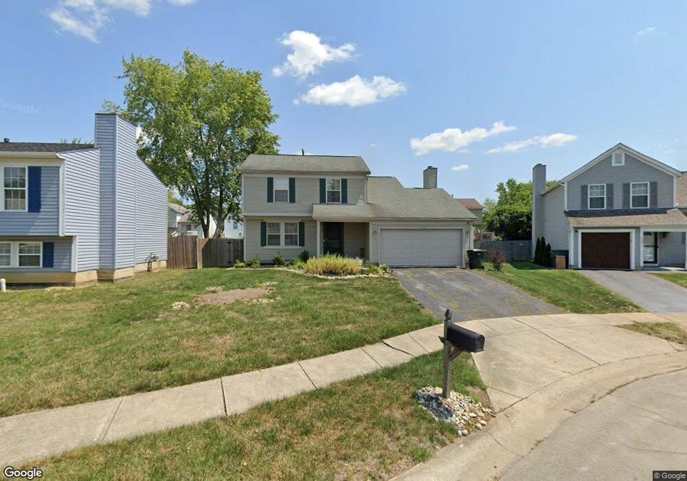
3320 Darrell Ct Reynoldsburg, OH 43068
Independence Village NeighborhoodEstimated Value: $272,369 - $294,000
4
Beds
3
Baths
1,634
Sq Ft
$170/Sq Ft
Est. Value
About This Home
This home is located at 3320 Darrell Ct, Reynoldsburg, OH 43068 and is currently estimated at $278,342, approximately $170 per square foot. 3320 Darrell Ct is a home located in Franklin County with nearby schools including Groveport Madison High School, A+ Arts Academy, and Brice Christian Academy Elementary School.
Ownership History
Date
Name
Owned For
Owner Type
Purchase Details
Closed on
Nov 28, 2001
Sold by
Helm Carol A
Bought by
Jones Robert F and Jones Charlotte E
Current Estimated Value
Home Financials for this Owner
Home Financials are based on the most recent Mortgage that was taken out on this home.
Original Mortgage
$120,360
Outstanding Balance
$47,275
Interest Rate
6.64%
Mortgage Type
VA
Estimated Equity
$231,067
Purchase Details
Closed on
Dec 31, 1992
Bought by
Helm Carol A
Purchase Details
Closed on
Dec 23, 1992
Create a Home Valuation Report for This Property
The Home Valuation Report is an in-depth analysis detailing your home's value as well as a comparison with similar homes in the area
Home Values in the Area
Average Home Value in this Area
Purchase History
| Date | Buyer | Sale Price | Title Company |
|---|---|---|---|
| Jones Robert F | $118,000 | -- | |
| Helm Carol A | $101,800 | -- | |
| -- | -- | -- |
Source: Public Records
Mortgage History
| Date | Status | Borrower | Loan Amount |
|---|---|---|---|
| Open | Jones Robert F | $120,360 |
Source: Public Records
Tax History Compared to Growth
Tax History
| Year | Tax Paid | Tax Assessment Tax Assessment Total Assessment is a certain percentage of the fair market value that is determined by local assessors to be the total taxable value of land and additions on the property. | Land | Improvement |
|---|---|---|---|---|
| 2024 | $3,411 | $80,440 | $18,380 | $62,060 |
| 2023 | $3,378 | $80,430 | $18,375 | $62,055 |
| 2022 | $2,561 | $50,720 | $8,750 | $41,970 |
| 2021 | $2,569 | $50,720 | $8,750 | $41,970 |
| 2020 | $2,573 | $50,720 | $8,750 | $41,970 |
| 2019 | $2,253 | $39,730 | $7,000 | $32,730 |
| 2018 | $2,326 | $39,730 | $7,000 | $32,730 |
| 2017 | $2,275 | $39,730 | $7,000 | $32,730 |
| 2016 | $2,360 | $37,670 | $9,280 | $28,390 |
| 2015 | $2,385 | $37,670 | $9,280 | $28,390 |
| 2014 | $2,412 | $37,670 | $9,280 | $28,390 |
| 2013 | $1,063 | $39,655 | $9,765 | $29,890 |
Source: Public Records
Map
Nearby Homes
- 3358 Cargin Ct
- 3133 Earlington Ln
- 3188 Creighton Place
- 3292 Draycott Ct
- 6926 Bennell Dr
- 3124 Creighton Place
- 3265 O'Heagra Dr
- 3072 Bocastle Ct
- 6800 Barker Dr
- 6775 Centennial Dr
- 3624 Peany Ln
- 6486 Ethan Dr
- 3099 Ambarwent Rd
- 6605 Hancock Ct
- 2826-2828 Continental Dr
- 3000 High St
- 2832 Liberty Bell Ln
- 6584 Benjamin Dr
- 7287 Candlestone Dr
- 3021 Sumner Dr
- 3314 Darrell Ct
- 3328 Darrell Ct
- 3306 Darrell Ct
- 3309 Quinette Ct
- 3317 Quinette Ct
- 3301 Quinette Ct
- 3336 Darrell Ct
- 6813 Brockland Dr
- 3300 Darrell Ct
- 3325 Quinette Ct
- 3339 Darrell Ct
- 6807 Brockland Dr
- 3319 Darrell Ct
- 3327 Darrell Ct
- 3311 Darrell Ct
- 3288 Darrell Ct
- 3333 Darrell Ct
- 6801 Brockland Dr
- 3305 Darrell Ct
- 3333 Quinette Ct