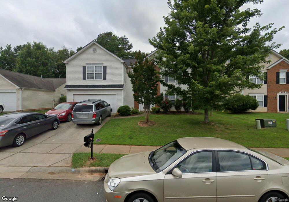
3321 Arbor Pointe Dr Indian Trail, NC 28079
Estimated Value: $381,000 - $423,000
--
Bed
3
Baths
2,212
Sq Ft
$183/Sq Ft
Est. Value
About This Home
This home is located at 3321 Arbor Pointe Dr, Indian Trail, NC 28079 and is currently estimated at $405,832, approximately $183 per square foot. 3321 Arbor Pointe Dr is a home located in Union County with nearby schools including Sardis Elementary School, Porter Ridge Middle School, and Porter Ridge High School.
Ownership History
Date
Name
Owned For
Owner Type
Purchase Details
Closed on
Apr 20, 2001
Sold by
Colony Homes Llc
Bought by
Tesfai Mikael and Gebreegziabher Roman
Current Estimated Value
Home Financials for this Owner
Home Financials are based on the most recent Mortgage that was taken out on this home.
Original Mortgage
$117,950
Outstanding Balance
$43,384
Interest Rate
6.99%
Estimated Equity
$362,448
Create a Home Valuation Report for This Property
The Home Valuation Report is an in-depth analysis detailing your home's value as well as a comparison with similar homes in the area
Home Values in the Area
Average Home Value in this Area
Purchase History
| Date | Buyer | Sale Price | Title Company |
|---|---|---|---|
| Tesfai Mikael | $147,500 | First American |
Source: Public Records
Mortgage History
| Date | Status | Borrower | Loan Amount |
|---|---|---|---|
| Open | Tesfai Mikael | $117,950 | |
| Closed | Tesfai Mikael | $14,700 |
Source: Public Records
Tax History Compared to Growth
Tax History
| Year | Tax Paid | Tax Assessment Tax Assessment Total Assessment is a certain percentage of the fair market value that is determined by local assessors to be the total taxable value of land and additions on the property. | Land | Improvement |
|---|---|---|---|---|
| 2024 | $2,249 | $266,400 | $48,000 | $218,400 |
| 2023 | $2,230 | $266,400 | $48,000 | $218,400 |
| 2022 | $2,230 | $266,400 | $48,000 | $218,400 |
| 2021 | $2,230 | $266,400 | $48,000 | $218,400 |
| 2020 | $1,245 | $159,700 | $27,500 | $132,200 |
| 2019 | $1,594 | $159,700 | $27,500 | $132,200 |
| 2018 | $1,245 | $159,700 | $27,500 | $132,200 |
| 2017 | $1,676 | $159,700 | $27,500 | $132,200 |
| 2016 | $1,302 | $159,700 | $27,500 | $132,200 |
| 2015 | $1,322 | $159,700 | $27,500 | $132,200 |
| 2014 | $1,192 | $166,890 | $34,000 | $132,890 |
Source: Public Records
Map
Nearby Homes
- 3900 Crimson Wing Dr
- 1010 Glen Hollow Dr
- 4311 Ethel Sustar Dr
- 5706 Sustar Dr
- 2006 Paddington Dr
- 3013 Doughton Ln
- 2026 Union Grove Ln
- 5205 Sustar Dr
- 3702 Arthur St
- 1009 Kemp Rd
- 3613 Arthur St
- 3612 Esther St
- 5508 Burning Ridge Dr
- 5901 Creft Cir
- 272 Briana Marie Way
- 269 Briana Marie Way
- 6017 Creft Cir
- 7607 Taft Place
- 3319 Creek Trail Rd
- 3722 Society Ct
- 3319 Arbor Pointe Dr
- 3401 Arbor Pointe Dr
- 3317 Arbor Pointe Dr
- 3403 Arbor Pointe Dr
- 3320 Arbor Pointe Dr
- 3315 Arbor Pointe Dr
- 3318 Arbor Pointe Dr
- 3400 Arbor Pointe Dr
- 3405 Arbor Pointe Dr
- 3316 Arbor Pointe Dr
- 3406 Arbor Pointe Dr
- 3313 Arbor Pointe Dr
- 3313 Arbor Pointe Dr Unit 7
- 3314 Arbor Pointe Dr
- 3407 Arbor Pointe Dr
- 3407 Arbor Pointe Dr Unit 15
- 3906 Laurel View Cir
- 3903 Laurel View Cir
- 3408 Arbor Pointe Dr
- 3311 Arbor Pointe Dr