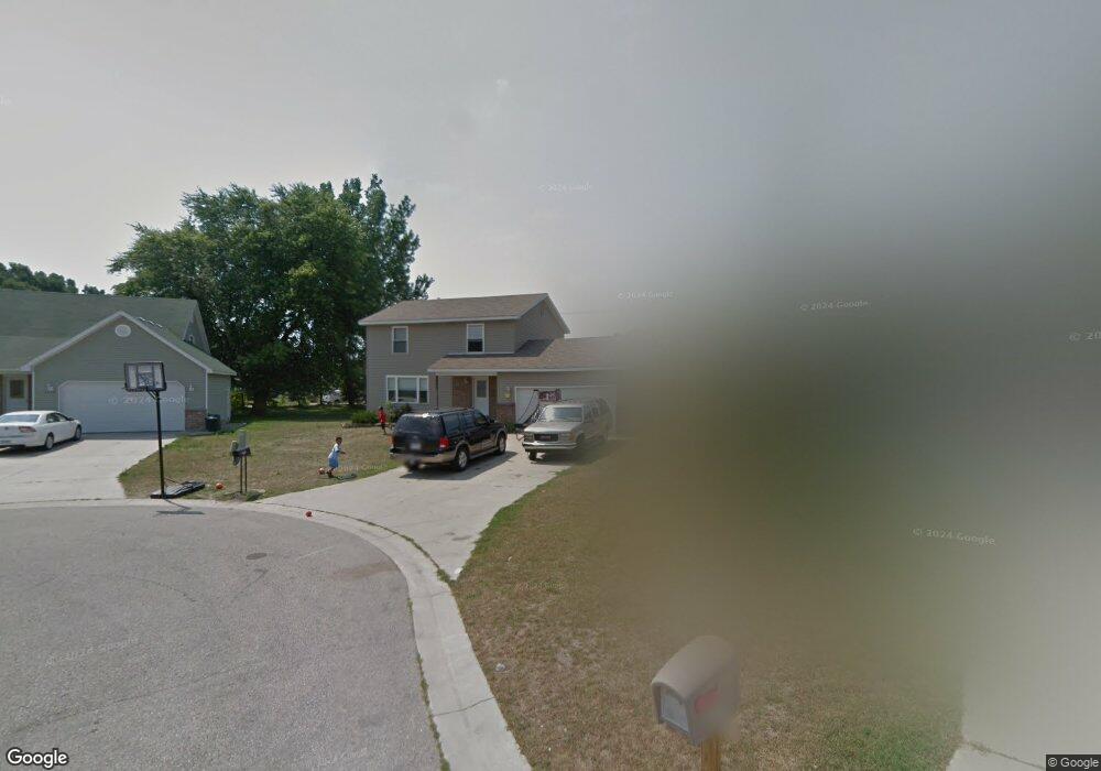
3321 Ashland Ct Port Huron, MI 48060
Estimated Value: $175,000 - $227,000
4
Beds
3
Baths
1,508
Sq Ft
$134/Sq Ft
Est. Value
About This Home
This home is located at 3321 Ashland Ct, Port Huron, MI 48060 and is currently estimated at $202,751, approximately $134 per square foot. 3321 Ashland Ct is a home located in St. Clair County with nearby schools including Cleveland Elementary School, Central Middle School, and Port Huron High School.
Ownership History
Date
Name
Owned For
Owner Type
Purchase Details
Closed on
May 15, 2014
Sold by
Richards Anthony F and Richards Althea D
Bought by
Anthony F Richards Living Trust
Current Estimated Value
Purchase Details
Closed on
Jun 1, 2008
Sold by
Richards Anthony F and Richards Althea D
Bought by
Price Julia L
Purchase Details
Closed on
Jun 11, 2007
Sold by
Johnson Christopher and Johnson Danielle L
Bought by
Richards Anthony F and Richards Althen D
Purchase Details
Closed on
Dec 15, 2004
Sold by
Radjewski Mary Anne
Bought by
Richards Anthony F and Anthony F Richards Living Trust
Create a Home Valuation Report for This Property
The Home Valuation Report is an in-depth analysis detailing your home's value as well as a comparison with similar homes in the area
Home Values in the Area
Average Home Value in this Area
Purchase History
| Date | Buyer | Sale Price | Title Company |
|---|---|---|---|
| Anthony F Richards Living Trust | -- | None Available | |
| Price Julia L | -- | None Available | |
| Richards Anthony F | -- | None Available | |
| Richards Anthony F | -- | None Available |
Source: Public Records
Tax History Compared to Growth
Tax History
| Year | Tax Paid | Tax Assessment Tax Assessment Total Assessment is a certain percentage of the fair market value that is determined by local assessors to be the total taxable value of land and additions on the property. | Land | Improvement |
|---|---|---|---|---|
| 2025 | $2,262 | $98,800 | $0 | $0 |
| 2024 | $1,926 | $58,500 | $0 | $0 |
| 2023 | $1,820 | $89,600 | $0 | $0 |
| 2022 | $1,913 | $75,800 | $0 | $0 |
| 2021 | $1,816 | $66,900 | $0 | $0 |
| 2020 | $1,837 | $63,900 | $63,900 | $0 |
| 2019 | $1,804 | $46,700 | $0 | $0 |
| 2018 | $1,764 | $46,700 | $0 | $0 |
| 2017 | $1,575 | $42,500 | $0 | $0 |
| 2016 | $1,347 | $42,500 | $0 | $0 |
| 2015 | $1,322 | $38,700 | $38,700 | $0 |
| 2014 | $1,322 | $37,200 | $37,200 | $0 |
| 2013 | -- | $36,300 | $0 | $0 |
Source: Public Records
Map
Nearby Homes
- 3230 Ashland Ct
- 2506 Vanness St
- 2511 Vanness St
- 2513 Vanness St
- 2600 Vanness St
- 2702 Vanness St
- 9999 Cleveland Ave
- 3830 Military St
- 3136 Military St
- 3104 Sturges St
- 2627 24th St
- 000 Gratiot Blvd
- 00 Gratiot Blvd
- 0 Dove Rd Unit G31368528
- 69 Gratiot Blvd
- 3548 Cleveland St
- 105 Gratiot Blvd
- 3333 Ravenswood Rd Unit 4A
- 3333 Ravenswood Rd
- 9999 24th St