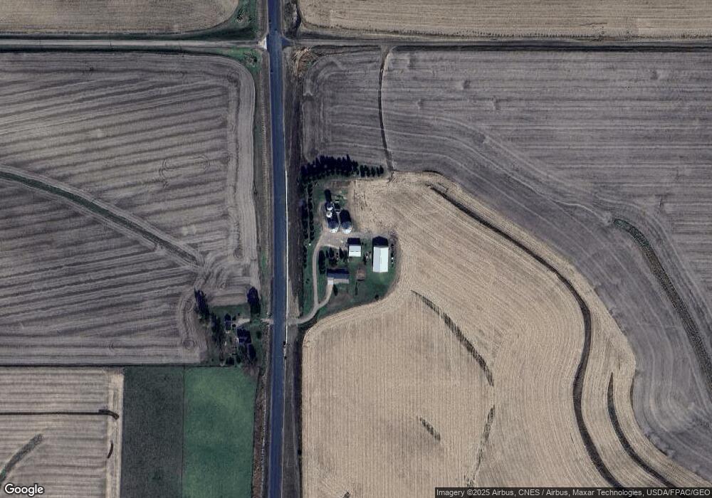
3321 Highway 63 Malcom, IA 50157
Estimated Value: $292,000 - $523,072
3
Beds
2
Baths
1,792
Sq Ft
$220/Sq Ft
Est. Value
About This Home
This home is located at 3321 Highway 63, Malcom, IA 50157 and is currently estimated at $394,024, approximately $219 per square foot. 3321 Highway 63 is a home located in Poweshiek County with nearby schools including Grinnell Community Senior High School.
Ownership History
Date
Name
Owned For
Owner Type
Purchase Details
Closed on
May 23, 2025
Sold by
Constance A Morrison Revocable Trust and Morrison Duane J
Bought by
Constance A Morrison Family Trust and Morrison
Current Estimated Value
Purchase Details
Closed on
Mar 5, 2024
Sold by
Morrison Duane J and Morrison Constance A
Bought by
Constance A Morrison Revocable Trust and Duane J Morrison Revocable Trust
Create a Home Valuation Report for This Property
The Home Valuation Report is an in-depth analysis detailing your home's value as well as a comparison with similar homes in the area
Purchase History
| Date | Buyer | Sale Price | Title Company |
|---|---|---|---|
| Constance A Morrison Family Trust | -- | None Listed On Document | |
| Constance A Morrison Revocable Trust | -- | None Listed On Document |
Source: Public Records
Tax History
| Year | Tax Paid | Tax Assessment Tax Assessment Total Assessment is a certain percentage of the fair market value that is determined by local assessors to be the total taxable value of land and additions on the property. | Land | Improvement |
|---|---|---|---|---|
| 2025 | $4,928 | $436,300 | $88,960 | $347,340 |
| 2024 | $4,656 | $384,350 | $69,880 | $314,470 |
| 2023 | $4,792 | $362,690 | $69,880 | $292,810 |
| 2022 | $4,330 | $303,720 | $60,520 | $243,200 |
| 2021 | $4,330 | $275,720 | $60,520 | $215,200 |
| 2020 | $3,874 | $250,440 | $58,110 | $192,330 |
| 2019 | $3,660 | $250,880 | $58,110 | $192,770 |
| 2018 | $3,556 | $279,890 | $83,190 | $196,700 |
| 2017 | $3,828 | $279,890 | $83,190 | $196,700 |
| 2016 | $3,838 | $315,350 | $95,190 | $220,160 |
| 2015 | $3,838 | $315,350 | $95,190 | $220,160 |
| 2014 | $4,186 | $353,140 | $93,700 | $259,440 |
Source: Public Records
Map
Nearby Homes
- 3137 50th St
- 4068 Western Dr
- 4312 Shady Lane Dr
- 4038 Phelps Dr
- 4077 Western Dr
- 4086 Tracy Dr
- 4223 W Lakeshore Dr
- 4220 W Lakeshore Dr
- 2141 S Lake Shore Dr
- 5191 Skyline Dr
- 5090 County Public Rd
- 5030 N Lakeshore Dr
- 2021 Jewel Dr
- 2002 Spaulding Dr
- 1305 Holiday Ln
- 1305 & 1308 Holiday Ln
- 1288 Lakeshore Dr
- 1928 Jewel Dr
- 1279 Holiday Ln
- 1275 Holiday Ln
Your Personal Tour Guide
Ask me questions while you tour the home.