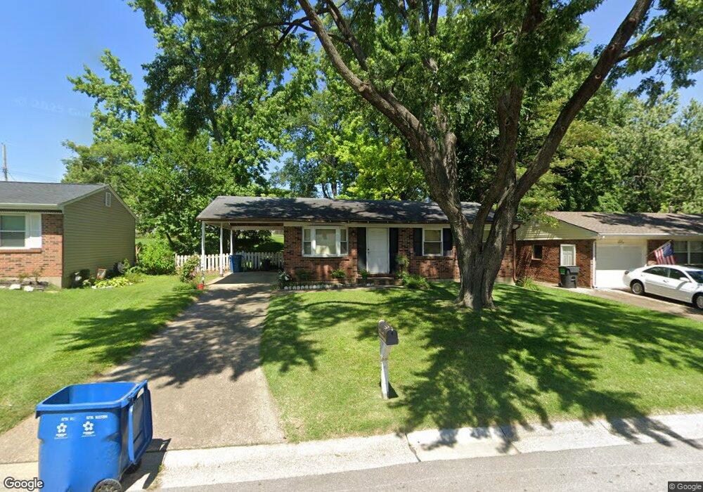
3322 Fleet Ln Saint Charles, MO 63301
Old Town Saint Charles NeighborhoodEstimated Value: $232,000 - $267,000
3
Beds
1
Bath
864
Sq Ft
$284/Sq Ft
Est. Value
About This Home
This home is located at 3322 Fleet Ln, Saint Charles, MO 63301 and is currently estimated at $245,758, approximately $284 per square foot. 3322 Fleet Ln is a home located in St. Charles County with nearby schools including Monroe Elementary School, Jefferson Intermediate School, and Hardin Middle School.
Ownership History
Date
Name
Owned For
Owner Type
Purchase Details
Closed on
Jun 20, 2008
Sold by
Crews Lori and Browne Lori
Bought by
Crews Lori
Current Estimated Value
Home Financials for this Owner
Home Financials are based on the most recent Mortgage that was taken out on this home.
Original Mortgage
$82,316
Interest Rate
6.05%
Mortgage Type
New Conventional
Purchase Details
Closed on
Nov 12, 2001
Sold by
Browne David L and Browne Lori
Bought by
Browne Lori
Create a Home Valuation Report for This Property
The Home Valuation Report is an in-depth analysis detailing your home's value as well as a comparison with similar homes in the area
Home Values in the Area
Average Home Value in this Area
Purchase History
| Date | Buyer | Sale Price | Title Company |
|---|---|---|---|
| Crews Lori | -- | Lacw | |
| Browne Lori | -- | -- |
Source: Public Records
Mortgage History
| Date | Status | Borrower | Loan Amount |
|---|---|---|---|
| Closed | Crews Lori | $82,316 |
Source: Public Records
Tax History
| Year | Tax Paid | Tax Assessment Tax Assessment Total Assessment is a certain percentage of the fair market value that is determined by local assessors to be the total taxable value of land and additions on the property. | Land | Improvement |
|---|---|---|---|---|
| 2025 | $2,305 | $36,851 | -- | -- |
| 2023 | $2,300 | $34,826 | -- | -- |
| 2022 | $2,027 | $28,519 | $0 | $0 |
| 2021 | $2,024 | $28,519 | $0 | $0 |
| 2020 | $1,845 | $25,302 | $0 | $0 |
| 2019 | $1,830 | $25,302 | $0 | $0 |
| 2018 | $1,725 | $22,842 | $0 | $0 |
| 2017 | $1,717 | $22,842 | $0 | $0 |
| 2016 | $1,690 | $22,502 | $0 | $0 |
| 2015 | $1,687 | $22,502 | $0 | $0 |
| 2014 | $1,541 | $20,262 | $0 | $0 |
Source: Public Records
Map
Nearby Homes
- 3407 Highgate Ln
- 3263 Janton Ln
- 2876 Danube Way
- 160 Dornoch Dr
- 710 Antler Ridge Dr
- 3051 Saint Daphne Dr
- 2233 Campus Dr
- 3321 Clemens Dr
- 2965 Landau Ct
- 3401 Droste Rd
- 76 Ruth Dr
- 3031 Bluffwood Dr
- 3079 Shady Oak Dr Unit 15B
- 21 Cambrian Way
- 3457 Truman Terrace Dr Unit 11
- 3508 Truman Terrace Dr Unit 55
- 3 Fairways Cir Unit J
- 10 Fairways Cir Unit E
- 7 Fairways Cir Unit E
- 7 Fairways Cir Unit E
- 3318 Fleet Ln
- 3326 Fleet Ln
- 3314 Fleet Ln
- 3330 Fleet Ln
- 3317 Highgate Ln
- 3313 Highgate Ln
- 3321 Highgate Ln
- 3319 Fleet Ln
- 3309 Highgate Ln
- 3325 Highgate Ln
- 3310 Fleet Ln
- 3334 Fleet Ln
- 3327 Fleet Ln
- 3263 Greenwich Ln
- 2104 Bolton St
- 3329 Highgate Ln
- 2101 Bolton St
- 3331 Fleet Ln
- 3306 Fleet Ln
- 3267 Greenwich Ln
Your Personal Tour Guide
Ask me questions while you tour the home.