3323 Conger St Port Huron, MI 48060
Estimated Value: $534,000 - $820,000
3
Beds
3
Baths
2,502
Sq Ft
$268/Sq Ft
Est. Value
About This Home
This home is located at 3323 Conger St, Port Huron, MI 48060 and is currently estimated at $670,509, approximately $267 per square foot. 3323 Conger St is a home located in St. Clair County with nearby schools including Garfield Elementary School, Holland Woods Middle School, and Port Huron Northern High School.
Ownership History
Date
Name
Owned For
Owner Type
Purchase Details
Closed on
Aug 17, 2015
Sold by
Gillhooley Ralph M and Gillhooley Patricia A
Bought by
Gillhooley Ralph M and Gillhooley Gillhool A
Current Estimated Value
Purchase Details
Closed on
Dec 27, 2006
Sold by
Gillhooley Patricia A
Bought by
Gillhooley Patricia A
Purchase Details
Closed on
Dec 26, 2006
Sold by
Gillhooley Ralph M and Gillhooley Patricia A
Bought by
Gillhooley Patricia A
Create a Home Valuation Report for This Property
The Home Valuation Report is an in-depth analysis detailing your home's value as well as a comparison with similar homes in the area
Home Values in the Area
Average Home Value in this Area
Purchase History
| Date | Buyer | Sale Price | Title Company |
|---|---|---|---|
| Gillhooley Ralph M | -- | Attorney | |
| Gillhooley Patricia A | -- | None Available | |
| Gillhooley Patricia A | -- | None Available |
Source: Public Records
Tax History Compared to Growth
Tax History
| Year | Tax Paid | Tax Assessment Tax Assessment Total Assessment is a certain percentage of the fair market value that is determined by local assessors to be the total taxable value of land and additions on the property. | Land | Improvement |
|---|---|---|---|---|
| 2025 | $8,559 | $308,800 | $0 | $0 |
| 2024 | $7,632 | $291,600 | $0 | $0 |
| 2023 | $7,209 | $269,100 | $0 | $0 |
| 2022 | $7,841 | $224,600 | $0 | $0 |
| 2021 | $7,439 | $196,800 | $0 | $0 |
| 2020 | $7,523 | $167,200 | $167,200 | $0 |
| 2019 | $7,546 | $173,500 | $0 | $0 |
| 2018 | $7,531 | $173,500 | $0 | $0 |
| 2017 | $7,117 | $180,700 | $0 | $0 |
| 2016 | $6,237 | $180,700 | $0 | $0 |
| 2015 | $6,120 | $173,700 | $173,700 | $0 |
| 2014 | $6,120 | $170,700 | $170,700 | $0 |
| 2013 | -- | $178,900 | $0 | $0 |
Source: Public Records
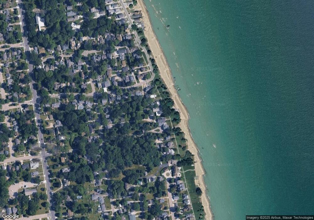
Map
Nearby Homes
- 3455 Gratiot Ave
- 1020 Sanborn St
- 3321 Stone St
- 3214 Poplar St
- 1202 Palmer Ct
- 1424 Hazelwood Ln
- 2913 11th Ave
- 1218 Garfield St
- 1434 Schumaker St
- 1531 Robinson St
- 2431 Armour St
- 1116 Hancock St
- 2419 Cherry St
- 2400 Stone St Unit 2414
- 3208 Mount Vernon Rd
- 3419 Riverside Dr
- 2812 19th Ave
- 2215 Hancock St
- 2857 Riverside Dr
- 1907 Riverside Dr
- 3319 Conger St
- 3329 Conger St
- 3311 Conger St
- 3401 Conger St
- 3309 Conger St
- 312 Edison Blvd
- 304 Edison Blvd
- 318 Edison Blvd
- 318 Edison Blvd Unit BOULEVAR
- 3231 Conger St
- 1718 Edison
- 326 Edison Blvd
- 3306 Armour St
- 3229 Conger St
- 303 Edison Blvd
- 323 Edison Blvd
- 3405 Conger St
- 404 Edison Blvd
- 410 Edison Blvd
- 3219 Conger St