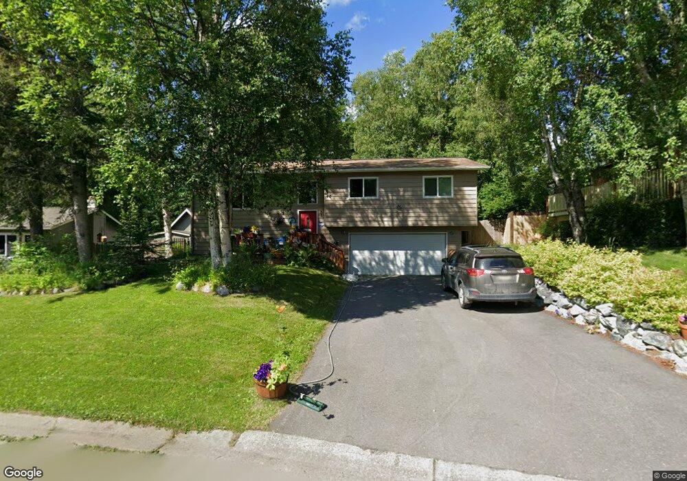
3323 Seawind Cir Anchorage, AK 99516
Huffman-O'Malley NeighborhoodEstimated Value: $277,000 - $535,000
4
Beds
3
Baths
1,200
Sq Ft
$360/Sq Ft
Est. Value
About This Home
This home is located at 3323 Seawind Cir, Anchorage, AK 99516 and is currently estimated at $431,844, approximately $359 per square foot. 3323 Seawind Cir is a home located in Anchorage Municipality with nearby schools including Rabbit Creek Elementary School, Goldenview Middle School, and South Anchorage High School.
Ownership History
Date
Name
Owned For
Owner Type
Purchase Details
Closed on
Jul 31, 2012
Sold by
Spencer Lee A
Bought by
Spencer Margaret M
Current Estimated Value
Home Financials for this Owner
Home Financials are based on the most recent Mortgage that was taken out on this home.
Original Mortgage
$178,000
Interest Rate
3.62%
Mortgage Type
New Conventional
Create a Home Valuation Report for This Property
The Home Valuation Report is an in-depth analysis detailing your home's value as well as a comparison with similar homes in the area
Home Values in the Area
Average Home Value in this Area
Purchase History
| Date | Buyer | Sale Price | Title Company |
|---|---|---|---|
| Spencer Margaret M | -- | Auta |
Source: Public Records
Mortgage History
| Date | Status | Borrower | Loan Amount |
|---|---|---|---|
| Closed | Spencer Margaret M | $178,000 |
Source: Public Records
Tax History Compared to Growth
Tax History
| Year | Tax Paid | Tax Assessment Tax Assessment Total Assessment is a certain percentage of the fair market value that is determined by local assessors to be the total taxable value of land and additions on the property. | Land | Improvement |
|---|---|---|---|---|
| 2025 | $2,661 | $411,700 | $122,700 | $289,000 |
| 2024 | $2,661 | $389,800 | $122,700 | $267,100 |
| 2023 | $6,185 | $363,200 | $122,700 | $240,500 |
| 2022 | $4,911 | $341,600 | $122,700 | $218,900 |
| 2021 | $5,894 | $327,100 | $122,700 | $204,400 |
| 2020 | $4,718 | $327,800 | $122,700 | $205,100 |
| 2019 | $5,310 | $324,600 | $122,700 | $201,900 |
| 2018 | $5,205 | $317,400 | $122,700 | $194,700 |
| 2017 | $4,978 | $317,900 | $122,700 | $195,200 |
| 2016 | $4,120 | $330,100 | $122,700 | $207,400 |
| 2015 | $4,120 | $317,100 | $122,700 | $194,400 |
| 2014 | $4,120 | $299,300 | $119,900 | $179,400 |
Source: Public Records
Map
Nearby Homes
- 3833 Eastwind Dr
- 13540 Seachant Cir
- 3040 Chesapeake Cir
- 13481 Baywind Dr
- 13470 Baywind Cir
- 13530 Westwind Dr
- 3700 de Armoun Rd
- 3540 E 142nd Ave
- 2940 E 142nd Ave
- 2701 Kempton Hills Dr
- NHN Elmore #1 L12 B6
- Lot 102 NW Loc Sault Ave
- 14121 Sunview Dr
- 3025 Huffman Rd
- 2020 Steeple Dr
- 12241 Gander St
- 000 Wildien Dr
- 2000 Jarvis Ave
- 12283 Timberwood Cir
- 4600 de Armoun Rd
- 3315 Seawind Cir
- 3335 Seawind Cir
- 3330 Windlass Cir
- 3340 Windlass Cir
- 3320 Windlass Cir
- 3343 Seawind Cir
- 3310 Seawind Cir
- 3305 Seawind Cir
- 3350 Windlass Cir
- 3324 Seawind Cir
- 3304 Seawind Cir
- 3235 Seawind Dr
- 3344 Seawind Cir
- 3216 Spinnaker Dr
- 3210 Spinnaker Dr
- 13506 Mainsail Dr
- 13518 Mainsail Dr
- 3301 Seawind Cir
- 13454 Mainsail Dr
- 13530 Mainsail Dr