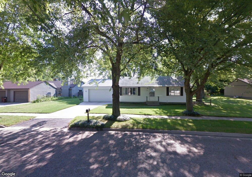
3324 Jonis Cir Lansing, MI 48906
Northwestside NeighborhoodEstimated Value: $144,000 - $174,000
3
Beds
1
Bath
892
Sq Ft
$176/Sq Ft
Est. Value
About This Home
This home is located at 3324 Jonis Cir, Lansing, MI 48906 and is currently estimated at $156,907, approximately $175 per square foot. 3324 Jonis Cir is a home located in Ingham County with nearby schools including Cumberland Elementary School, Pattengill Academy, and J.W. Sexton High School.
Ownership History
Date
Name
Owned For
Owner Type
Purchase Details
Closed on
Dec 2, 2002
Sold by
Shinevar Mary B
Bought by
Butler Michael A
Current Estimated Value
Purchase Details
Closed on
Dec 1, 1992
Create a Home Valuation Report for This Property
The Home Valuation Report is an in-depth analysis detailing your home's value as well as a comparison with similar homes in the area
Home Values in the Area
Average Home Value in this Area
Purchase History
| Date | Buyer | Sale Price | Title Company |
|---|---|---|---|
| Butler Michael A | -- | -- | |
| -- | $34,900 | -- |
Source: Public Records
Tax History
| Year | Tax Paid | Tax Assessment Tax Assessment Total Assessment is a certain percentage of the fair market value that is determined by local assessors to be the total taxable value of land and additions on the property. | Land | Improvement |
|---|---|---|---|---|
| 2025 | $2,473 | $60,200 | $18,300 | $41,900 |
| 2024 | $19 | $59,300 | $18,300 | $41,000 |
| 2023 | $2,266 | $54,200 | $18,300 | $35,900 |
| 2022 | $2,045 | $47,600 | $15,200 | $32,400 |
| 2021 | $2,003 | $42,400 | $12,200 | $30,200 |
| 2020 | $1,990 | $40,600 | $12,200 | $28,400 |
| 2019 | $1,907 | $39,200 | $12,200 | $27,000 |
| 2018 | $1,788 | $36,500 | $12,200 | $24,300 |
| 2017 | $1,711 | $36,500 | $12,200 | $24,300 |
| 2016 | $1,637 | $33,500 | $12,200 | $21,300 |
| 2015 | $1,637 | $32,000 | $24,441 | $7,559 |
| 2014 | $1,637 | $32,700 | $30,795 | $1,905 |
Source: Public Records
Map
Nearby Homes
- 3304 Sheffer Ave
- 3230 Sheffer Ave
- 3017 Alfred Ave
- 4221 N Grand River Ave
- 2601 Newport Dr
- 2519 Byrnes Rd
- 3500 Colchester Rd
- 3116 Colchester Rd
- 4005 N Grand River Ave
- 3733 Colchester Rd
- 2313 Kuerbitz Dr
- 2300 Byrnes Rd
- 2302 Northwest Ave
- 3336 Tecumseh River Rd
- 2209 Barstow Rd
- 2111 Delta River Dr
- 2800 Tecumseh River Rd
- 1805 Boynton Dr
- Lot 1a Rachael Fairfax Dr
- 1930 Briarwood Dr
- 3334 Jonis Cir
- 3323 Sheffer Ave
- 3310 Jonis Cir
- 3327 Sheffer Ave
- 3323 Jonis Cir
- 3307 Sheffer Ave
- 5019 N Grand River Ave
- 3335 Jonis Cir
- 5001 N Grand River Ave
- 3326 Sheffer Ave
- 3239 Sheffer Ave
- 3318 Sheffer Ave
- 3234 Jonis Cir
- 3312 Sheffer Ave
- 5021 N Grand River Ave
- 3310 Sheffer Ave
- 3235 Sheffer Ave
- 3238 Sheffer Ave
- 3231 Sheffer Ave
Your Personal Tour Guide
Ask me questions while you tour the home.