3326 Browns Bridge Rd Bowman, GA 30624
Estimated Value: $183,000 - $435,000
2
Beds
2
Baths
720
Sq Ft
$381/Sq Ft
Est. Value
About This Home
This home is located at 3326 Browns Bridge Rd, Bowman, GA 30624 and is currently estimated at $274,661, approximately $381 per square foot. 3326 Browns Bridge Rd is a home located in Elbert County with nearby schools including Elbert County Elementary School, Elbert County Primary School, and Elbert County Middle School.
Ownership History
Date
Name
Owned For
Owner Type
Purchase Details
Closed on
Sep 21, 2023
Sold by
Kelly Edward
Bought by
Kelly Edward and Driscoll Pamela Lee
Current Estimated Value
Purchase Details
Closed on
Sep 7, 2023
Sold by
Driscoll Pamela Lee
Bought by
Kelly Edward
Purchase Details
Closed on
Sep 1, 2023
Sold by
Kelly Edward
Bought by
Kelly Edward and Driscoll Pamela Lee
Purchase Details
Closed on
Dec 10, 2007
Sold by
Mcgarity Daniel Lee
Bought by
Kelly Edward
Create a Home Valuation Report for This Property
The Home Valuation Report is an in-depth analysis detailing your home's value as well as a comparison with similar homes in the area
Home Values in the Area
Average Home Value in this Area
Purchase History
| Date | Buyer | Sale Price | Title Company |
|---|---|---|---|
| Kelly Edward | -- | -- | |
| Kelly Edward | -- | -- | |
| Kelly Edward | -- | -- | |
| Kelly Edward | $20,000 | -- |
Source: Public Records
Tax History Compared to Growth
Tax History
| Year | Tax Paid | Tax Assessment Tax Assessment Total Assessment is a certain percentage of the fair market value that is determined by local assessors to be the total taxable value of land and additions on the property. | Land | Improvement |
|---|---|---|---|---|
| 2024 | $839 | $41,662 | $13,319 | $28,343 |
| 2023 | $833 | $36,737 | $13,319 | $23,418 |
| 2022 | $532 | $13,122 | $0 | $13,122 |
| 2021 | $526 | $12,851 | $0 | $12,851 |
| 2020 | $427 | $7,915 | $0 | $7,915 |
| 2019 | $444 | $7,915 | $0 | $7,915 |
| 2018 | $501 | $19,210 | $6,342 | $12,868 |
| 2017 | $363 | $13,551 | $6,342 | $7,209 |
| 2016 | $339 | $13,551 | $6,342 | $7,209 |
| 2015 | -- | $13,690 | $6,342 | $7,347 |
| 2014 | -- | $13,690 | $6,342 | $7,347 |
| 2013 | -- | $5,012 | $0 | $5,012 |
Source: Public Records
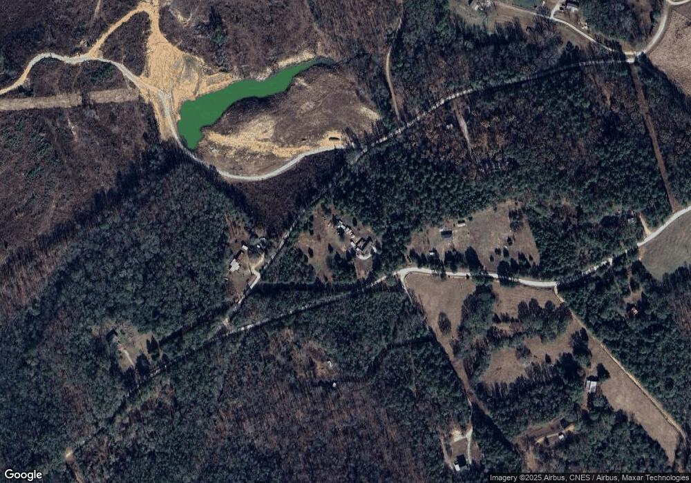
Map
Nearby Homes
- 1825 Seymour Rd
- 0 Dusty Rd Unit 10569563
- 0 Dusty Rd Unit 7619983
- 3272 Horace Rd
- 1963 Rehoboth Rd Unit EXTENSION
- 1963 Rehoboth Rd
- 2970 Davids Home Church Rd
- 227 Rehoboth Rd
- 1458 & 1463 Parham Town Rd
- 2660 Parham Town Rd
- 2784 Stanley Maxwell Rd
- 0 Bowers St Unit LOT 1-8 10576344
- 0 Bowers St Unit LOT 1-8 CL335681
- 2587 Quill Rd
- 2198 Bennett Rd
- 0 Five Forks Rd Unit 10619685
- 1257 Seymour Rd
- 1255 Seymour Rd
- 0 Sand Hill Rd Unit 10595328
- 288 Katie Beth Rd
- 0 Browns Bridge Rd Unit 3262370
- 0 Browns Bridge Rd Unit 10027210
- 0 Browns Bridge Rd Unit 7506924
- 1819 Massey Rd
- 1857 Massey Rd
- 3323 Browns Bridge Rd
- 3314 Browns Bridge Rd
- 3374 Browns Bridge Rd
- 3319 Browns Bridge Rd
- 127 ac Massey Rd
- 3321 Browns Bridge Rd
- 0 Massey Rd Unit 8261349
- 0 Massey Rd Unit 10010650
- 0 Massey Rd Unit 9010313
- 0 Massey Rd Unit 8919646
- 3256 Browns Bridge Rd
- 3283 Browns Bridge Rd
- 1886 Massey Rd
- 2018 John Tate Dr
- 2016 John Tate Dr