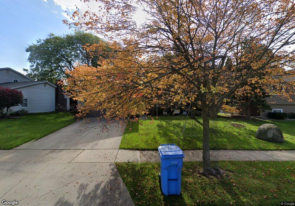
3327 Gingersnap Ln Lansing, MI 48911
Averill Woods NeighborhoodEstimated Value: $222,000 - $278,000
3
Beds
3
Baths
2,706
Sq Ft
$93/Sq Ft
Est. Value
About This Home
This home is located at 3327 Gingersnap Ln, Lansing, MI 48911 and is currently estimated at $250,534, approximately $92 per square foot. 3327 Gingersnap Ln is a home located in Ingham County with nearby schools including Averill Elementary School, Attwood School, and J.W. Sexton High School.
Ownership History
Date
Name
Owned For
Owner Type
Purchase Details
Closed on
Apr 17, 2009
Sold by
Kay L Kenyon Trust #1
Bought by
Jenkins Robert J and Renkes Ashley
Current Estimated Value
Home Financials for this Owner
Home Financials are based on the most recent Mortgage that was taken out on this home.
Original Mortgage
$135,500
Outstanding Balance
$86,162
Interest Rate
5.05%
Mortgage Type
FHA
Estimated Equity
$164,372
Purchase Details
Closed on
May 12, 1999
Sold by
Kenyon David E and Kenyon Kay L
Bought by
Kay L Kenyon Trust #1
Create a Home Valuation Report for This Property
The Home Valuation Report is an in-depth analysis detailing your home's value as well as a comparison with similar homes in the area
Home Values in the Area
Average Home Value in this Area
Purchase History
| Date | Buyer | Sale Price | Title Company |
|---|---|---|---|
| Jenkins Robert J | $138,000 | Tri County Title Agency Llc | |
| Kay L Kenyon Trust #1 | -- | -- |
Source: Public Records
Mortgage History
| Date | Status | Borrower | Loan Amount |
|---|---|---|---|
| Open | Jenkins Robert J | $135,500 |
Source: Public Records
Tax History
| Year | Tax Paid | Tax Assessment Tax Assessment Total Assessment is a certain percentage of the fair market value that is determined by local assessors to be the total taxable value of land and additions on the property. | Land | Improvement |
|---|---|---|---|---|
| 2025 | $4,084 | $111,900 | $11,700 | $100,200 |
| 2024 | $33 | $99,000 | $11,700 | $87,300 |
| 2023 | $3,827 | $92,700 | $11,700 | $81,000 |
| 2022 | $3,447 | $86,400 | $10,300 | $76,100 |
| 2021 | $3,376 | $84,400 | $10,000 | $74,400 |
| 2020 | $3,355 | $82,200 | $10,000 | $72,200 |
| 2019 | $3,218 | $72,400 | $10,000 | $62,400 |
| 2018 | $3,013 | $62,800 | $10,000 | $52,800 |
| 2017 | $2,886 | $62,800 | $10,000 | $52,800 |
| 2016 | $2,760 | $55,000 | $10,000 | $45,000 |
| 2015 | $2,760 | $50,600 | $19,984 | $30,616 |
| 2014 | $2,760 | $49,500 | $19,984 | $29,516 |
Source: Public Records
Map
Nearby Homes
- 3112 Shetland Rd
- 3618 Malibu Dr
- 0 S Deerfield Ave
- 3230 S Deerfield Ave
- 2500 Skye Rd
- 3425 Cooley Dr
- 2924 Woodview Dr
- 2 Locust Ln
- 3522 Saint Andrews Cir Unit 33
- 3508 Muirfield Dr
- 3100 Glenbrook Dr
- 3601 Muirfield Dr
- 3612 Muirfield Dr Unit 5
- 2408 Dunlap St
- 2409 Victor Ave
- 3721 Kendalwood Dr
- 3714 Brighton Dr
- 3924 Wedgewood Dr
- 2519 Belaire Dr
- 3215 S Cambridge Rd
- 3327 Ginger
- 3335 Gingersnap Ln
- 3317 Gingersnap Ln
- 3251 Rice Ct
- 3259 Rice Ct
- 3243 Rice Ct
- 3339 Gingersnap Ln
- 2933 Sunderland Rd
- 3328 Gingersnap Ln
- 3322 Ginger Snap Ln
- 3322 Gingersnap Ln
- 3340 Gingersnap Ln
- 2939 Sunderland Rd
- 3316 Gingersnap Ln
- 3241 Rice Ct
- 3312 Gingersnap Ln
- 2905 Sunderland Rd
- 3001 Sunderland Rd
- 3308 Gingersnap Ln
- 2847 Sunderland Rd
Your Personal Tour Guide
Ask me questions while you tour the home.