Estimated Value: $294,702 - $323,000
3
Beds
2
Baths
1,834
Sq Ft
$169/Sq Ft
Est. Value
About This Home
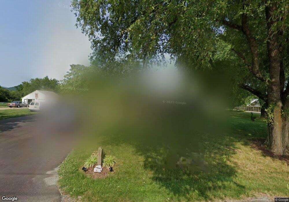
This home is located at 3327 Locust Grove Ln, Salem, VA 24153 and is currently estimated at $309,676, approximately $168 per square foot. 3327 Locust Grove Ln is a home located in Roanoke County with nearby schools including Fort Lewis Elementary School, Glenvar Middle School, and Glenvar High School.
Ownership History
Date
Name
Owned For
Owner Type
Purchase Details
Closed on
Nov 14, 2005
Sold by
Wolford Brian K and Wolford Venita L
Bought by
Wayne Timothy A and Wayne Melanie A
Current Estimated Value
Home Financials for this Owner
Home Financials are based on the most recent Mortgage that was taken out on this home.
Original Mortgage
$137,600
Outstanding Balance
$74,608
Interest Rate
5.87%
Mortgage Type
New Conventional
Estimated Equity
$235,068
Create a Home Valuation Report for This Property
The Home Valuation Report is an in-depth analysis detailing your home's value as well as a comparison with similar homes in the area
Home Values in the Area
Average Home Value in this Area
Purchase History
| Date | Buyer | Sale Price | Title Company |
|---|---|---|---|
| Wayne Timothy A | $172,000 | None Available |
Source: Public Records
Mortgage History
| Date | Status | Borrower | Loan Amount |
|---|---|---|---|
| Open | Wayne Timothy A | $137,600 |
Source: Public Records
Tax History Compared to Growth
Tax History
| Year | Tax Paid | Tax Assessment Tax Assessment Total Assessment is a certain percentage of the fair market value that is determined by local assessors to be the total taxable value of land and additions on the property. | Land | Improvement |
|---|---|---|---|---|
| 2025 | $2,750 | $267,000 | $57,200 | $209,800 |
| 2024 | $2,586 | $248,700 | $52,200 | $196,500 |
| 2023 | $2,427 | $229,000 | $50,200 | $178,800 |
| 2022 | $2,233 | $204,900 | $46,200 | $158,700 |
| 2021 | $2,037 | $186,900 | $41,200 | $145,700 |
| 2020 | $1,937 | $177,700 | $43,200 | $134,500 |
| 2019 | $1,906 | $174,900 | $41,200 | $133,700 |
| 2018 | $1,793 | $172,500 | $41,200 | $131,300 |
| 2017 | $1,793 | $164,500 | $41,200 | $123,300 |
| 2016 | $1,777 | $163,000 | $41,200 | $121,800 |
| 2015 | $1,761 | $161,600 | $41,200 | $120,400 |
| 2014 | $1,744 | $160,000 | $39,200 | $120,800 |
Source: Public Records
Map
Nearby Homes
- 3411 Andrew Ave
- 4530 Lomond Cir
- 2903 Creekwood Dr
- 3713 Shelor Ave
- 4633 Nevis Dr
- 310 Texas Hollow Rd
- 2917 Elderwood Rd
- 2710 Harborwood Rd
- 4144 Daugherty Rd
- 2221 W West Main Street St
- 4273 Daugherty Rd
- 443 Ingal Blvd
- 3065 Isabel Ln
- 2156 Stone Mill Dr
- 2240 Foxfield Ln
- 1905 Queensmill Dr
- 2298 Foxfield Ln
- 2027 River Ridge Ct
- TBD New River Oaks Dr
- 1912 Stone Mill Dr
- 3339 Locust Grove Ln
- 3315 Locust Grove Ln
- 3319 Locust Grove Ln
- 3326 Locust Grove Ln
- 3332 Locust Grove Ln
- 3312 Fort Lewis Cir
- 3309 Locust Grove Ln
- 3318 Locust Grove Ln
- 3340 Locust Grove Ln
- 3318 Fort Lewis Cir
- 3349 Locust Grove Ln
- 3324 Fort Lewis Cir
- 3310 Locust Grove Ln
- 3346 Locust Grove Ln
- 3330 Fort Lewis Cir
- 3239 Locust Grove Ln
- 3304 Locust Grove Ln
- 3352 Locust Grove Ln
- 3336 Fort Lewis Cir
- 3315 Fort Lewis Cir