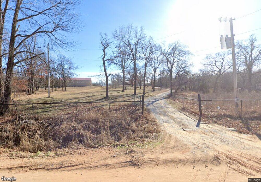
332795 E 1020 Rd Harrah, OK 73045
Estimated Value: $180,000 - $236,000
2
Beds
2
Baths
1,392
Sq Ft
$149/Sq Ft
Est. Value
About This Home
This home is located at 332795 E 1020 Rd, Harrah, OK 73045 and is currently estimated at $208,000, approximately $149 per square foot. 332795 E 1020 Rd is a home.
Ownership History
Date
Name
Owned For
Owner Type
Purchase Details
Closed on
Jun 24, 2019
Sold by
Milburn Property Llc
Bought by
Newton Jacob S and Newton Jennifer E
Current Estimated Value
Home Financials for this Owner
Home Financials are based on the most recent Mortgage that was taken out on this home.
Original Mortgage
$83,835
Outstanding Balance
$73,562
Interest Rate
4%
Mortgage Type
New Conventional
Estimated Equity
$134,438
Purchase Details
Closed on
May 15, 2011
Sold by
Milburn Property L L C
Bought by
Newton Jacob S and Newton Jennifer E
Home Financials for this Owner
Home Financials are based on the most recent Mortgage that was taken out on this home.
Original Mortgage
$19,000
Interest Rate
3.62%
Mortgage Type
New Conventional
Create a Home Valuation Report for This Property
The Home Valuation Report is an in-depth analysis detailing your home's value as well as a comparison with similar homes in the area
Purchase History
| Date | Buyer | Sale Price | Title Company |
|---|---|---|---|
| Newton Jacob S | $31,000 | None Available | |
| Newton Jacob S | $22,500 | None Available |
Source: Public Records
Mortgage History
| Date | Status | Borrower | Loan Amount |
|---|---|---|---|
| Open | Newton Jacob S | $83,835 | |
| Previous Owner | Newton Jacob S | $19,000 |
Source: Public Records
Tax History
| Year | Tax Paid | Tax Assessment Tax Assessment Total Assessment is a certain percentage of the fair market value that is determined by local assessors to be the total taxable value of land and additions on the property. | Land | Improvement |
|---|---|---|---|---|
| 2025 | $1,950 | $22,140 | $3,207 | $18,933 |
| 2024 | $1,794 | $21,086 | $2,483 | $18,603 |
| 2023 | $1,794 | $14,559 | $2,978 | $11,581 |
| 2022 | $1,090 | $12,816 | $2,566 | $10,250 |
| 2021 | $1,038 | $12,205 | $2,600 | $9,605 |
| 2020 | $989 | $11,623 | $2,304 | $9,319 |
| 2019 | $864 | $10,154 | $2,304 | $7,850 |
| 2018 | $823 | $9,671 | $2,304 | $7,367 |
| 2017 | $1,002 | $9,436 | $2,470 | $6,966 |
Source: Public Records
Map
Nearby Homes
- 332939 E 1020 Rd
- 331899 Timber Ln
- 331908 Shadow Wood Dr
- 100861 S Red Rock Trail
- 0005 NE 50th St
- 100711 S Stonecrest Cir
- 0 N Oak Rd
- 3872 Ada Ave
- 3865 Ada Ave
- 3864 Ada Ave
- 3880 Ada Ave
- 3864 Louthea Ln
- 3856 Ada Ave
- 21089 River Mist Dr
- 21081 River Mist Dr
- 3848 Ada Ave
- 3848 Louthea Ln
- 334174 E Painted Sky Rd
- 334273 E Painted Sky Dr
- 331178 E Captain Dr
- 102225 S 3330 Rd
- 332828 E 1020 Rd
- 102115 S 3330 Rd
- 102025 S 3330 Rd
- 101975 S 3330 Rd
- 332774 E 1020 Rd
- 102032 S 3330 Rd
- 101919 S 3330 Rd
- 102218 S 3330 Rd
- 16 NE 50th St
- 101795 S 3330 Rd
- 333034 E 1024 Rd
- 333068 E 1024 Rd
- 101769 S 3330 Rd
- 333098 E 1024 Rd
- 102406 S 3330 Rd
- 333120 1024 Rd
- 26136 Kay Dr
- 333211 E 1020 Rd
- 831 Rr 1
