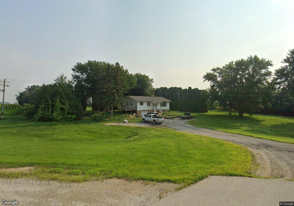
3328 State Highway 9 Cresco, IA 52136
Estimated Value: $243,496 - $362,000
About This Home
This home is located at 3328 State Highway 9, Cresco, IA 52136 and is currently estimated at $305,374, approximately $227 per square foot. 3328 State Highway 9 is a home located in Winneshiek County with nearby schools including Crestwood High School and Notre Dame Catholic School.
Ownership History
We collect this data history from publicly available records. To have your information removed, we recommend requesting removal directly through your county’s website.
Purchase Details
Home Financials for this Owner
Home Financials are based on the most recent Mortgage that was taken out on this home.Purchase History
We collect this data history from publicly available records. To have your information removed, we recommend requesting removal directly through your county’s website.
| Date | Buyer | Sale Price | Title Company |
|---|---|---|---|
| $196,681 | None Available |
Mortgage History
We collect this data history from publicly available records. To have your information removed, we recommend requesting removal directly through your county’s website.
| Date | Status | Borrower | Loan Amount |
|---|---|---|---|
| Open | $200,000 |
Tax History
We collect this data history from publicly available records. To have your information removed, we recommend requesting removal directly through your county’s website.
| Year | Tax Paid | Tax Assessment Tax Assessment Total Assessment is a certain percentage of the fair market value that is determined by local assessors to be the total taxable value of land and additions on the property. | Land | Improvement |
|---|---|---|---|---|
| 2025 | $2,162 | $211,250 | $50,710 | $160,540 |
| 2024 | $2,162 | $192,040 | $50,710 | $141,330 |
| 2023 | $2,084 | $192,040 | $50,710 | $141,330 |
| 2022 | $1,792 | $166,900 | $42,260 | $124,640 |
| 2021 | $1,706 | $138,040 | $1,620 | $136,420 |
| 2020 | $1,706 | $127,210 | $1,740 | $125,470 |
| 2019 | $1,708 | $128,540 | $0 | $0 |
| 2018 | $1,646 | $128,540 | $0 | $0 |
| 2017 | $1,598 | $121,110 | $0 | $0 |
| 2016 | $1,542 | $121,110 | $0 | $0 |
| 2015 | $1,498 | $117,550 | $0 | $0 |
| 2014 | $1,340 | $117,550 | $0 | $0 |
Map
- 24155 115th St
- 631 Gillette Ave
- 00 Cambridge St
- 220 4th Ave SE
- 11432 Willow Ave
- 729 2nd St SW
- 113 5th Ave E
- 303 3rd St SW Unit Farley
- 219 2nd Ave W
- 732 N Elm St
- 245 7th Ave W
- 306 5th Ave W
- 531 2nd Ave W
- 625 3rd Ave W
- 14129 Willow Ave
- 845 North St
- 2427 Dry Run Rd
- 208 Largo Dr
- 0 Old Borax Rd Unit NBR20261457
- 2761 College Dr
- 3306 State Highway 9
- 3314 State Highway 9
- 3311 290th St
- 3316 State Highway 9
- 3310 285th St
- 3290 285th St
- 3275 290th St
- 3283 285th St
- 2818 333rd Ave
- 2812 333rd Ave
- 3374 State Highway 9
- 2850 328th Ave
- 2945 333rd Ave
- 2804 333rd Ave
- 3404 285th St
- 2948 328th Ave
- 2792 333rd Ave
- 2961 333rd Ave
- 2962 328th Ave
- 3424 285th St
Ask me questions while you tour the home.