3328 Tatman Coe Rd Mc Dermott, OH 45652
Estimated Value: $413,000 - $778,074
3
Beds
2
Baths
2,835
Sq Ft
$201/Sq Ft
Est. Value
About This Home
This home is located at 3328 Tatman Coe Rd, Mc Dermott, OH 45652 and is currently estimated at $568,691, approximately $200 per square foot. 3328 Tatman Coe Rd is a home located in Scioto County with nearby schools including Northwest Elementary School, Northwest Middle School, and Northwest High School.
Ownership History
Date
Name
Owned For
Owner Type
Purchase Details
Closed on
Jul 7, 2022
Sold by
Hiles Rickey T
Bought by
Hiles Hickey T and Hiles Carla J
Current Estimated Value
Purchase Details
Closed on
Aug 10, 2018
Sold by
Robinson Boyd and Robinson Patricia
Bought by
Hiles Rickey and Hiles Carla
Purchase Details
Closed on
May 9, 2008
Sold by
Jones Raymond E and Jones Betty
Bought by
Robinson Boyd and Robinson Patricia
Purchase Details
Closed on
Mar 10, 2003
Bought by
Jones Raymond + Betty J and Jones S
Purchase Details
Closed on
Aug 23, 1999
Sold by
Phipps Max B + Beverly
Bought by
Jones Raymond + Betty J and Jones S
Purchase Details
Closed on
Jul 26, 1999
Sold by
Taylor John A+Thelma J and Taylor S
Bought by
Taylor Thelma L
Create a Home Valuation Report for This Property
The Home Valuation Report is an in-depth analysis detailing your home's value as well as a comparison with similar homes in the area
Purchase History
| Date | Buyer | Sale Price | Title Company |
|---|---|---|---|
| Hiles Hickey T | -- | Hiles Carla J | |
| Hiles Hickey T | -- | Hiles Carla J | |
| Riles Rickey T | -- | Hiles Carla J | |
| Riles Rickey T | -- | Hiles Carla J | |
| Hiles Rickey | $120,000 | None Available | |
| Robinson Boyd | -- | -- | |
| Jones Raymond + Betty J | -- | -- | |
| Jones Raymond + Betty J | $70,000 | -- | |
| Taylor Thelma L | -- | -- |
Source: Public Records
Tax History
| Year | Tax Paid | Tax Assessment Tax Assessment Total Assessment is a certain percentage of the fair market value that is determined by local assessors to be the total taxable value of land and additions on the property. | Land | Improvement |
|---|---|---|---|---|
| 2024 | $7,118 | $161,190 | $54,520 | $106,670 |
| 2023 | $5,997 | $161,190 | $54,520 | $106,670 |
| 2022 | $5,995 | $161,190 | $54,520 | $106,670 |
| 2021 | $5,103 | $142,180 | $47,700 | $94,480 |
| 2020 | $1,486 | $55,620 | $47,700 | $7,920 |
| 2019 | $1,483 | $36,770 | $36,480 | $290 |
| 2018 | $1,464 | $36,770 | $36,480 | $290 |
| 2017 | $1,463 | $36,770 | $36,480 | $290 |
| 2016 | $731 | $32,990 | $32,720 | $270 |
| 2015 | $1,358 | $32,990 | $32,720 | $270 |
| 2013 | $1,269 | $32,990 | $32,720 | $270 |
Source: Public Records
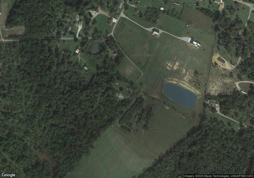
Map
Nearby Homes
- 1447 Mc Dermott Pond Creek Rd
- 1468A Tatman-Coe Rd
- 133 Crystal Dr
- 6847B Ohio 104
- 170 Wrights Run Rd
- 656 Arion Rd
- 525 Martin Cemetery Rd
- 11192 Ohio 104
- 11107 S Oakwood Ct
- 11683 Ohio 104
- 0 Careys Run
- 357 Enley Rd
- A Enley Rd
- 448 Houston Hollow Rd
- 3818 Big Run Rd
- 139 Back St
- 358 Warren Ave
- 0 Shepard Fork Rd
- 6 Jackson St
- 0 Shepherd Fork Rd
- 3274 Tatman Coe McDermott
- 3260 Tatman-Coe Rd
- 3260 Tatman Coe Rd
- 3350 Tatman Coe Rd
- 3274 Tatman Coe Rd
- 3303 Tatman Coe Rd
- 3315 Tatman Coe Rd
- 3370 Tatman Coe Rd
- 3454 Tatman Coe Rd
- 3448 Tatman Coe Rd
- 3532 Tatman Coe Rd
- 3218 Tatman Coe Rd
- 3201 Tatman Coe Rd
- 3201 Tatman Coe Rd
- 3469 Tatman Coe Rd
- 2866 Pollock Rd
- 3449 Tatman-Coe Rd
- 3155 Tatman Coe Rd
- 3150 Tatman Coe Rd
- 2473 Pollock Rd
Your Personal Tour Guide
Ask me questions while you tour the home.