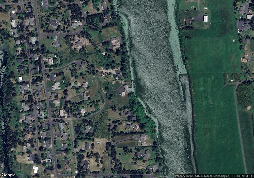
33282 Pelican Ln Warrenton, OR 97146
Surf Pines NeighborhoodEstimated Value: $1,045,000 - $1,361,500
3
Beds
3
Baths
2,718
Sq Ft
$437/Sq Ft
Est. Value
About This Home
This home is located at 33282 Pelican Ln, Warrenton, OR 97146 and is currently estimated at $1,188,375, approximately $437 per square foot. 33282 Pelican Ln is a home located in Clatsop County with nearby schools including Seaside High School.
Ownership History
Date
Name
Owned For
Owner Type
Purchase Details
Closed on
Jan 10, 2023
Sold by
Malarkey Survivors Trust
Bought by
Pelican Way Llc
Current Estimated Value
Purchase Details
Closed on
Mar 12, 2009
Sold by
Malarkey Michael O
Bought by
Malarkey Michael O and Malarkey Sharon A
Home Financials for this Owner
Home Financials are based on the most recent Mortgage that was taken out on this home.
Original Mortgage
$405,000
Interest Rate
5.03%
Mortgage Type
Stand Alone Refi Refinance Of Original Loan
Create a Home Valuation Report for This Property
The Home Valuation Report is an in-depth analysis detailing your home's value as well as a comparison with similar homes in the area
Home Values in the Area
Average Home Value in this Area
Purchase History
| Date | Buyer | Sale Price | Title Company |
|---|---|---|---|
| Pelican Way Llc | -- | None Listed On Document | |
| Malarkey Survivors Trust | -- | None Listed On Document | |
| Malarkey Michael O | -- | Multiple |
Source: Public Records
Mortgage History
| Date | Status | Borrower | Loan Amount |
|---|---|---|---|
| Previous Owner | Malarkey Michael O | $405,000 |
Source: Public Records
Tax History Compared to Growth
Tax History
| Year | Tax Paid | Tax Assessment Tax Assessment Total Assessment is a certain percentage of the fair market value that is determined by local assessors to be the total taxable value of land and additions on the property. | Land | Improvement |
|---|---|---|---|---|
| 2024 | $7,639 | $594,009 | -- | -- |
| 2023 | $7,405 | $576,709 | $0 | $0 |
| 2022 | $7,215 | $559,913 | $0 | $0 |
| 2021 | $7,059 | $543,606 | $0 | $0 |
| 2020 | $6,888 | $527,774 | $0 | $0 |
| 2019 | $6,524 | $512,403 | $0 | $0 |
| 2018 | $6,406 | $497,480 | $0 | $0 |
| 2017 | $6,173 | $482,991 | $0 | $0 |
| 2016 | $5,365 | $468,924 | $159,923 | $309,001 |
| 2015 | $5,236 | $455,267 | $155,266 | $300,001 |
| 2014 | $5,084 | $442,008 | $0 | $0 |
| 2013 | -- | $429,135 | $0 | $0 |
Source: Public Records
Map
Nearby Homes
- 0 Seales Rd
- 89728 Ocean Dr
- 33467 SW Old Pine Dr
- 0 Vacant Lot Manion Dr
- 90023 Manion Dr
- 90114 Manion Dr
- 0 Dellmoor Loop
- 000 Dellmoor Loop
- 90214 Hobie Rd
- 90238 Hobie Rd
- 80654 Polo Ridge Rd
- 33455 Bing Ln
- 90250 Hobie Rd
- VL Hawkins Rd
- 0 Hawkins Rd
- 80654 Polo Ridge Rd
- 90578 Wind and Sea Loop
- 89026 Ocean Dr
- 33765 Lake Front Dr
- 33318 Pelican Ln
- 89637 Lakeside Ct
- 89633 Lakeside Ct
- 89683 Osprey Dr
- 89769 Surf Pines Landing Dr
- 89667 Osprey Dr
- 89693 Osprey Dr
- 89617 Lakeside Ct
- 89673 Manion Dr
- 33268 Pelican Ln
- 89765 Surf Pines Landing Dr
- 89607 Lakeside Ct
- 89639 Manion Dr
- 89653 Manion Dr
- 89625 Manion Dr
- 89663 Osprey Dr
- 89773 Surf Pines Landing Dr
- 89647 Manion Dr
- 89615 Manion Dr
- 89663 Manion Dr
