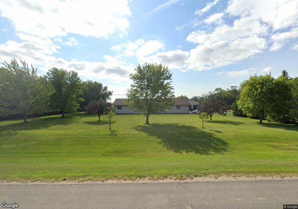
3329 Highway 20 Jamestown, ND 58401
Estimated Value: $525,000 - $575,000
6
Beds
--
Bath
5,086
Sq Ft
$107/Sq Ft
Est. Value
About This Home
This home is located at 3329 Highway 20, Jamestown, ND 58401 and is currently estimated at $545,447, approximately $107 per square foot. 3329 Highway 20 is a home located in Stutsman County with nearby schools including Jamestown High School and Hillcrest Seventh-day Adventist Elementary School.
Ownership History
Date
Name
Owned For
Owner Type
Purchase Details
Closed on
Aug 27, 2021
Sold by
Jystad Philip N and Jystad Rachelle A
Bought by
Laqua Richard and Laqua Debra Carlson
Current Estimated Value
Home Financials for this Owner
Home Financials are based on the most recent Mortgage that was taken out on this home.
Original Mortgage
$259,000
Outstanding Balance
$228,710
Interest Rate
2.8%
Mortgage Type
Commercial
Estimated Equity
$316,737
Create a Home Valuation Report for This Property
The Home Valuation Report is an in-depth analysis detailing your home's value as well as a comparison with similar homes in the area
Home Values in the Area
Average Home Value in this Area
Purchase History
| Date | Buyer | Sale Price | Title Company |
|---|---|---|---|
| Laqua Richard | $439,000 | Quality Title Inc |
Source: Public Records
Mortgage History
| Date | Status | Borrower | Loan Amount |
|---|---|---|---|
| Open | Laqua Richard | $259,000 |
Source: Public Records
Tax History Compared to Growth
Tax History
| Year | Tax Paid | Tax Assessment Tax Assessment Total Assessment is a certain percentage of the fair market value that is determined by local assessors to be the total taxable value of land and additions on the property. | Land | Improvement |
|---|---|---|---|---|
| 2024 | $4,053 | $235,550 | $27,500 | $208,050 |
| 2023 | $4,038 | $228,450 | $25,000 | $203,450 |
| 2022 | $3,875 | $222,900 | $25,000 | $197,900 |
| 2021 | $4,305 | $248,550 | $22,500 | $226,050 |
| 2020 | $4,139 | $244,800 | $20,000 | $224,800 |
| 2019 | $4,188 | $241,900 | $17,500 | $224,400 |
| 2018 | $4,210 | $232,050 | $0 | $0 |
| 2017 | $3,797 | $214,750 | $0 | $0 |
| 2016 | $3,575 | $211,100 | $0 | $0 |
| 2013 | -- | $12,285 | $405 | $11,880 |
Source: Public Records
Map
Nearby Homes
- 1708 10th Ave NE
- 1729 5 1 2 Ave NE
- 1734 5th Ave NE
- 1412 9th Ave NE
- 1730 3rd Ave NE
- 1628 4th Ave NE
- 3253 Hwy 20
- 1627 4th Ave NE
- 309 17th St NE
- 1010 12th St NE
- 1024 James Ave NE
- 1022 9th Ave NE
- 1803 Island Park Dr
- 1518 Island Park Dr
- 1503 Island Park Dr
- 1519 Island Park Dr
- 1603 Island Park Dr
- 1703 Island Park Dr
- 1711 Island Park Dr
- 1506 Island Park Dr
- 3329 Hwy 20
- 3325 Highway 20
- 3329 N Dakota 20
- 3333 Highway 20
- 3321 Highway 20
- 3335 Highway 20
- 3319 Highway 20
- 3317 Highway 20
- 3317 Highway 20
- 3317 20 Hwy SE
- 3319 N Dakota 20
- 3315 Hwy 20 SE
- 3345 N Dakota 20
- 3309 Highway 20
- 1917 11th Ave NE
- 8382 33rd St SE
- 8382 33rd St SE
- 3345 Hwy 20
- 3345 Highway 20
- 113 Northland Estate