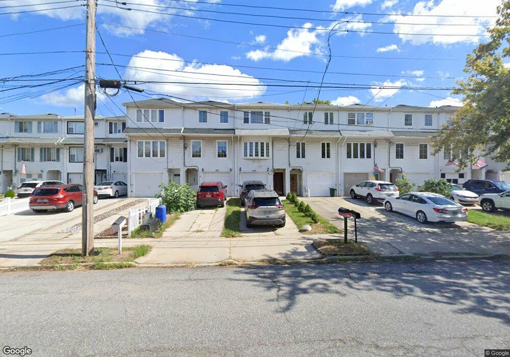
333 Abingdon Ave Staten Island, NY 10308
Great Kills NeighborhoodEstimated Value: $613,000 - $655,000
3
Beds
3
Baths
1,330
Sq Ft
$476/Sq Ft
Est. Value
About This Home
This home is located at 333 Abingdon Ave, Staten Island, NY 10308 and is currently estimated at $632,505, approximately $475 per square foot. 333 Abingdon Ave is a home located in Richmond County with nearby schools including P.S. 32 The Gifford School, I.S. 075 Frank D. Paulo, and Susan E Wagner High School.
Ownership History
Date
Name
Owned For
Owner Type
Purchase Details
Closed on
Aug 12, 2004
Sold by
Pugliese Michael and Pugliese Marissa
Bought by
Furman Simon and Furman Tatyana
Current Estimated Value
Home Financials for this Owner
Home Financials are based on the most recent Mortgage that was taken out on this home.
Original Mortgage
$50,000
Interest Rate
6.02%
Mortgage Type
Credit Line Revolving
Purchase Details
Closed on
Aug 17, 2001
Sold by
Mastandrea Christopher and Mastandrea Linda
Bought by
Pugliese Michael and Pugliese Marissa
Home Financials for this Owner
Home Financials are based on the most recent Mortgage that was taken out on this home.
Original Mortgage
$207,900
Interest Rate
6.98%
Create a Home Valuation Report for This Property
The Home Valuation Report is an in-depth analysis detailing your home's value as well as a comparison with similar homes in the area
Home Values in the Area
Average Home Value in this Area
Purchase History
| Date | Buyer | Sale Price | Title Company |
|---|---|---|---|
| Furman Simon | $336,000 | Chicago Title Insurance Co | |
| Pugliese Michael | $231,000 | -- |
Source: Public Records
Mortgage History
| Date | Status | Borrower | Loan Amount |
|---|---|---|---|
| Previous Owner | Furman Simon | $50,000 | |
| Previous Owner | Furman Simon | $268,800 | |
| Previous Owner | Pugliese Michael | $207,900 |
Source: Public Records
Tax History Compared to Growth
Tax History
| Year | Tax Paid | Tax Assessment Tax Assessment Total Assessment is a certain percentage of the fair market value that is determined by local assessors to be the total taxable value of land and additions on the property. | Land | Improvement |
|---|---|---|---|---|
| 2025 | $5,197 | $32,340 | $4,935 | $27,405 |
| 2024 | $5,209 | $30,960 | $4,863 | $26,097 |
| 2023 | $4,942 | $25,734 | $4,518 | $21,216 |
| 2022 | $4,560 | $27,720 | $5,520 | $22,200 |
| 2021 | $4,806 | $29,220 | $5,520 | $23,700 |
| 2020 | $4,804 | $28,020 | $5,520 | $22,500 |
| 2019 | $4,462 | $24,360 | $5,520 | $18,840 |
| 2018 | $4,074 | $21,445 | $5,206 | $16,239 |
| 2017 | $3,825 | $20,232 | $5,349 | $14,883 |
| 2016 | $3,735 | $20,232 | $5,395 | $14,837 |
| 2015 | $3,330 | $20,079 | $4,727 | $15,352 |
| 2014 | $3,330 | $18,943 | $4,915 | $14,028 |
Source: Public Records
Map
Nearby Homes
- 307 Abingdon Ave
- 339 Abingdon Ave
- 259 Brookfield Ave
- 345 Colon Ave
- 919 Armstrong Ave
- 248 Abingdon Ave
- 185 Brookfield Ave
- 26 E Brandis Ave
- 223 Abingdon Ave
- 350 Brookfield Ave
- 924 Armstrong Ave Unit 2-3
- 271 Doane Ave
- 414 Elverton Ave
- 74 E Brandis Ave
- 63 Genesee Ave
- 72 Eric Ln
- 379 Brookfield Ave
- 131 Cortelyou Ave Unit 1-1
- 466 Doane Ave
- 57 Middle Loop Rd
- 335 Abingdon Ave
- 331 Abingdon Ave
- 337 Abingdon Ave
- 329 Abingdon Ave
- 327 Abingdon Ave
- 341 Abingdon Ave
- 325 Abingdon Ave
- 343 Abingdon Ave
- 323 Abingdon Ave
- 345 Abingdon Ave
- 266 Brookfield Ave
- 264 Brookfield Ave
- 262 Brookfield Ave
- 347 Abingdon Ave
- 321 Abingdon Ave
- 270 Brookfield Ave
- 270 Brookfield Ave Unit 2
- 270 Brookfield Ave Unit 1
- 260 Brookfield Ave
- 274 Brookfield Ave