333 Bamboo Ln Advance, NC 27006
Estimated Value: $695,000 - $788,000
2
Beds
3
Baths
2,582
Sq Ft
$279/Sq Ft
Est. Value
About This Home
This home is located at 333 Bamboo Ln, Advance, NC 27006 and is currently estimated at $720,696, approximately $279 per square foot. 333 Bamboo Ln is a home located in Davie County with nearby schools including Pinebrook Elementary School, North Davie Middle School, and Davie County High School.
Ownership History
Date
Name
Owned For
Owner Type
Purchase Details
Closed on
May 21, 2025
Sold by
Arey Craig K and Arey Margaret F
Bought by
Frost Ellis Brent
Current Estimated Value
Purchase Details
Closed on
Feb 21, 2022
Sold by
Tharpe Betty H
Bought by
Tharpe Frank M
Purchase Details
Closed on
Apr 1, 2003
Create a Home Valuation Report for This Property
The Home Valuation Report is an in-depth analysis detailing your home's value as well as a comparison with similar homes in the area
Home Values in the Area
Average Home Value in this Area
Purchase History
| Date | Buyer | Sale Price | Title Company |
|---|---|---|---|
| Frost Ellis Brent | $700,000 | None Listed On Document | |
| Frost Ellis Brent | $700,000 | None Listed On Document | |
| Tharpe Frank M | -- | Womble T Dan | |
| Tharpe Frank M | -- | None Listed On Document | |
| -- | -- | -- |
Source: Public Records
Tax History Compared to Growth
Tax History
| Year | Tax Paid | Tax Assessment Tax Assessment Total Assessment is a certain percentage of the fair market value that is determined by local assessors to be the total taxable value of land and additions on the property. | Land | Improvement |
|---|---|---|---|---|
| 2025 | $2,821 | $409,690 | $0 | $0 |
| 2024 | $2,276 | $294,390 | $0 | $0 |
| 2023 | $2,276 | $294,390 | $0 | $0 |
| 2022 | $2,169 | $280,580 | $38,180 | $242,400 |
| 2021 | $2,169 | $280,580 | $38,180 | $242,400 |
| 2020 | $2,128 | $273,470 | $38,180 | $235,290 |
| 2019 | $2,130 | $273,470 | $38,180 | $235,290 |
| 2018 | $2,128 | $273,470 | $38,180 | $235,290 |
| 2017 | $2,102 | $273,470 | $0 | $0 |
| 2016 | $2,140 | $278,330 | $0 | $0 |
| 2015 | $2,140 | $278,330 | $0 | $0 |
| 2014 | $1,839 | $278,330 | $0 | $0 |
| 2013 | -- | $278,330 | $0 | $0 |
Source: Public Records
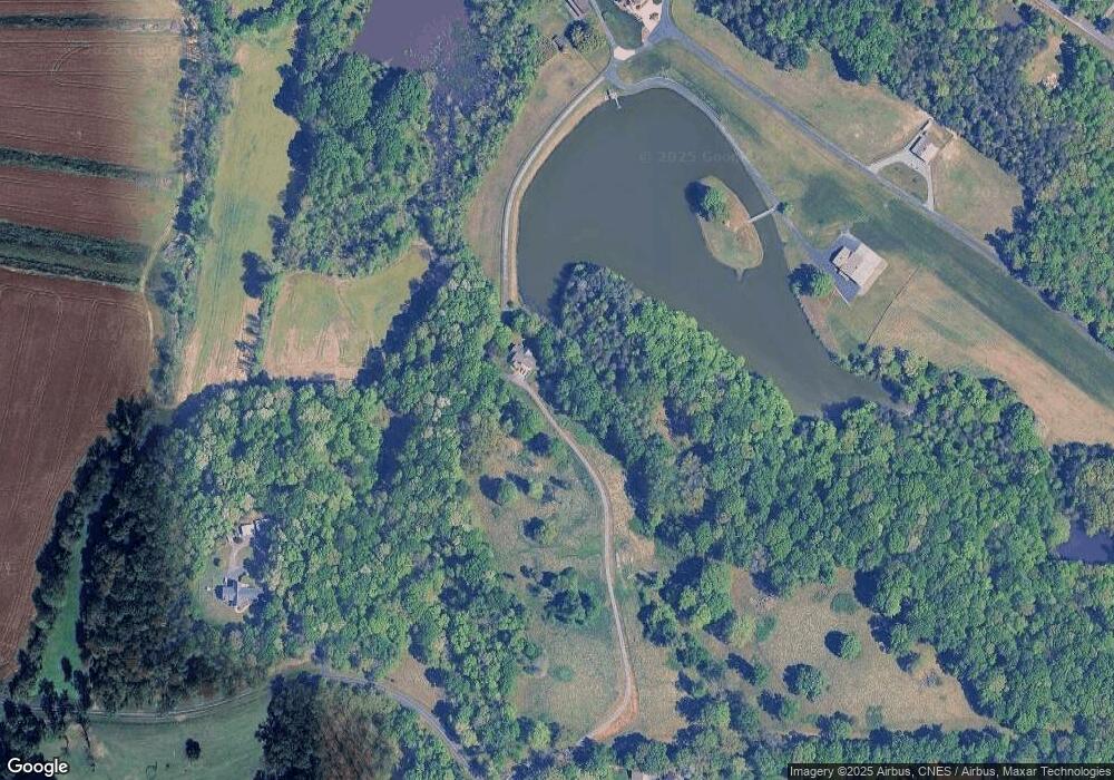
Map
Nearby Homes
- 0 Mcknight Rd
- 4029 Estate Dr
- 4011 Estate Dr
- Roller Mill II Plan at Adams Estates
- Roller Mill Plan at Adams Estates
- Oak Crest Plan at Adams Estates
- Heritage Bridge Plan at Adams Estates
- Birch Haven Courtyard Plan at Adams Estates
- 272 Morning Star Dr
- 270 Morning Star Dr
- 138 Starhaven Ct
- 137 Starhaven Ct
- 133 Starhaven Ct
- 266 Morning Star Dr
- 120 Starhaven Ct
- 119 Starhaven Ct
- 271 Morning Star Dr
- 112 Lovefeast Dr
- 250 Morning Star Dr
- 254 Morning Star Dr
- 310 Sparks Rd
- 301 Bamboo Ln
- 214 Sparks Rd
- 245 Peaceful Valley Rd
- 138 Sparks Rd
- 136 Sparks Rd
- 189 Sparks Rd
- 238 Peaceful Valley Rd
- 245 Sparks Rd
- 299 Peaceful Valley Rd
- 148 Sparks Rd
- 174 Peaceful Valley Rd
- 158 Peaceful Valley Rd
- 135 Peaceful Valley Rd
- 140 Natalies Way
- 123 Peaceful Valley Rd
- 451 Sparks Rd
- 312 Jesse King Rd
- 342 Peaceful Valley Rd
- 199 Jesse King Rd