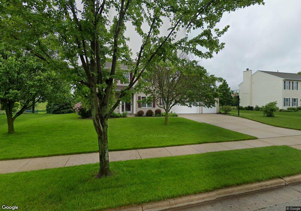
333 Cedar Crest Ln Slinger, WI 53086
Estimated Value: $519,964 - $581,000
3
Beds
3
Baths
2,144
Sq Ft
$259/Sq Ft
Est. Value
About This Home
This home is located at 333 Cedar Crest Ln, Slinger, WI 53086 and is currently estimated at $554,741, approximately $258 per square foot. 333 Cedar Crest Ln is a home located in Washington County with nearby schools including Slinger High School and St Peter Elementary School.
Ownership History
Date
Name
Owned For
Owner Type
Purchase Details
Closed on
Aug 24, 2007
Sold by
Benton Land & Development Llc
Bought by
Gajafsky Brian C and Gajafsky Lisa A
Current Estimated Value
Home Financials for this Owner
Home Financials are based on the most recent Mortgage that was taken out on this home.
Original Mortgage
$200,200
Outstanding Balance
$127,467
Interest Rate
6.77%
Mortgage Type
New Conventional
Estimated Equity
$427,274
Create a Home Valuation Report for This Property
The Home Valuation Report is an in-depth analysis detailing your home's value as well as a comparison with similar homes in the area
Home Values in the Area
Average Home Value in this Area
Purchase History
| Date | Buyer | Sale Price | Title Company |
|---|---|---|---|
| Gajafsky Brian C | $292,500 | None Available |
Source: Public Records
Mortgage History
| Date | Status | Borrower | Loan Amount |
|---|---|---|---|
| Open | Gajafsky Brian C | $200,200 |
Source: Public Records
Tax History Compared to Growth
Tax History
| Year | Tax Paid | Tax Assessment Tax Assessment Total Assessment is a certain percentage of the fair market value that is determined by local assessors to be the total taxable value of land and additions on the property. | Land | Improvement |
|---|---|---|---|---|
| 2024 | $5,592 | $494,200 | $100,000 | $394,200 |
| 2023 | $4,816 | $361,000 | $77,000 | $284,000 |
| 2022 | $4,933 | $361,000 | $77,000 | $284,000 |
| 2021 | $4,710 | $361,000 | $77,000 | $284,000 |
| 2020 | $4,498 | $302,900 | $75,500 | $227,400 |
| 2019 | $4,439 | $302,900 | $75,500 | $227,400 |
| 2018 | $4,402 | $302,900 | $75,500 | $227,400 |
| 2017 | $4,286 | $281,600 | $72,000 | $209,600 |
| 2016 | $4,297 | $255,200 | $72,000 | $183,200 |
| 2015 | $4,506 | $255,200 | $72,000 | $183,200 |
| 2014 | $4,506 | $255,200 | $72,000 | $183,200 |
| 2013 | $4,987 | $279,400 | $82,000 | $197,400 |
Source: Public Records
Map
Nearby Homes
- 572 Cedar Bluffs Way
- 363 Sandstone St
- 325 Sandstone St
- 2484 Boulder Dr
- 2470 Boulder Dr
- 2491 Boulder Dr
- 416 Sandstone St
- 2456 Boulder Dr
- 438 Sandstone St
- 447 Sandstone St
- 465 Sandstone St
- 456 Sandstone St
- 457 Limestone Ln
- 2474 Boulder Dr
- 469 Limestone Ln
- 424 Sandstone St
- 497 Limestone Ln
- 1870 Woodland Way Unit 433-1
- 1844 Woodland Way Unit 431-1
- 1820 Horseshoe Ln Unit 423-1
- 344 Cedar Crest Ln
- 363 Cedar Crest Ln
- 313 Cedar Crest Ln
- 322 Cedar Crest Ln
- 388 Cedar Crest Ln
- 393 Cedar Crest Ln
- 303 Cedar Crest Ln
- 424 Cedar Crest Ln
- 353 Maple Grove Terrace
- 423 Cedar Crest Ln
- 2302 Cedar Crest Dr
- 2307 Cedar Crest Dr
- 383 Maple Grove Terrace
- 400 Maple Grove Terrace
- 360 Maple Grove Terrace
- 380 Maple Grove Terrace
- 340 Maple Grove Terrace
- 2312 Cedar Crest Dr
- 2327 Cedar Crest Dr
- 2260 Cedar Bluffs Dr