Estimated Value: $311,229 - $422,000
3
Beds
2
Baths
1,641
Sq Ft
$221/Sq Ft
Est. Value
About This Home
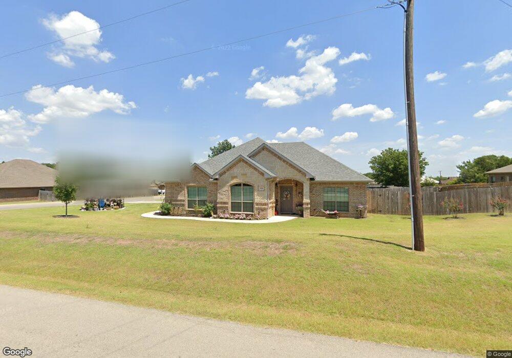
This home is located at 333 Cemetery Rd, Boyd, TX 76023 and is currently estimated at $362,307, approximately $220 per square foot. 333 Cemetery Rd is a home located in Wise County with nearby schools including Boyd Elementary School, Boyd Middle School, and Boyd High School.
Ownership History
Date
Name
Owned For
Owner Type
Purchase Details
Closed on
Oct 31, 2016
Sold by
Lambert Properties Llc
Bought by
Morgan William J and Morgan Johnnie Deloris
Current Estimated Value
Home Financials for this Owner
Home Financials are based on the most recent Mortgage that was taken out on this home.
Original Mortgage
$138,500
Outstanding Balance
$111,471
Interest Rate
3.5%
Mortgage Type
New Conventional
Estimated Equity
$250,836
Purchase Details
Closed on
May 2, 2014
Sold by
Dean William H and Dean Madelyn S
Bought by
Lambert Properties Llc
Purchase Details
Closed on
Jan 1, 1901
Bought by
Morgan William J and Johnnie Deloris
Create a Home Valuation Report for This Property
The Home Valuation Report is an in-depth analysis detailing your home's value as well as a comparison with similar homes in the area
Home Values in the Area
Average Home Value in this Area
Purchase History
We collect this data history from publicly available records. To have your information removed, we recommend requesting removal directly through your county’s website.
| Date | Buyer | Sale Price | Title Company |
|---|---|---|---|
| Morgan William J | -- | Guardian Title Co | |
| Lambert Properties Llc | -- | Guardian Title Co | |
| Morgan William J | -- | -- |
Source: Public Records
Mortgage History
We collect this data history from publicly available records. To have your information removed, we recommend requesting removal directly through your county’s website.
| Date | Status | Borrower | Loan Amount |
|---|---|---|---|
| Open | Morgan William J | $138,500 |
Source: Public Records
Tax History
| Year | Tax Paid | Tax Assessment Tax Assessment Total Assessment is a certain percentage of the fair market value that is determined by local assessors to be the total taxable value of land and additions on the property. | Land | Improvement |
|---|---|---|---|---|
| 2025 | $1,837 | $337,467 | $69,375 | $268,092 |
| 2024 | $1,837 | $315,269 | -- | -- |
| 2023 | $5,317 | $286,608 | $0 | $0 |
| 2022 | $5,567 | $259,427 | $0 | $0 |
| 2021 | $5,248 | $235,840 | $31,220 | $204,620 |
| 2020 | $5,063 | $226,710 | $31,220 | $195,490 |
| 2019 | $4,849 | $223,050 | $31,220 | $191,830 |
| 2018 | $4,467 | $191,810 | $15,260 | $176,550 |
| 2017 | $4,262 | $177,970 | $15,260 | $162,710 |
| 2016 | $365 | $15,260 | $15,260 | $0 |
| 2015 | -- | $15,260 | $15,260 | $0 |
| 2014 | -- | $7,630 | $7,630 | $0 |
Source: Public Records
Map
Nearby Homes
- 500 Green Meadow Dr
- 124 Orchard Pines Place
- 405 Edgewood Terrace
- 105 Driftoak Dr
- 238 Birch Forest Ln
- 242 Birch Forest Ln
- 250 Birch Forest Ln
- 258 Birch Forest Ln
- 262 Birch Forest Ln
- 266 Birch Forest Ln
- 274 Birch Forest Ln
- 112 Willbanks Ln
- 128 Mojave Rd
- 138 Mojave Rd
- 105 Pinehurst Dr
- 120 Mojave Rd
- 109 Pinehurst Dr
- 121 Pinehurst Dr
- 125 Pinehurst Dr
- 113 Pine Hurts Dr
- 604 Meadow Park Dr
- 300 Cemetery Rd
- 329 Cemetery Rd
- TBD PR 4689
- 330 Cemetery Rd
- 600 Meadow Park Dr
- 605 Meadow Park Dr
- 325 Cemetery Rd
- 335 Cemetery Rd
- 338 Cemetery Rd
- 601 Meadow Park Dr
- 308 Brookfield Dr
- 321 Cemetery Rd
- 525 Woodland Park Dr
- 361 Cemetery Rd
- 521 Woodland Park Dr
- 321 Brookfield Dr
- 524 Woodland Park Dr
- 317 Cemetery Rd
- 520 Green Meadow Dr
Your Personal Tour Guide
Ask me questions while you tour the home.