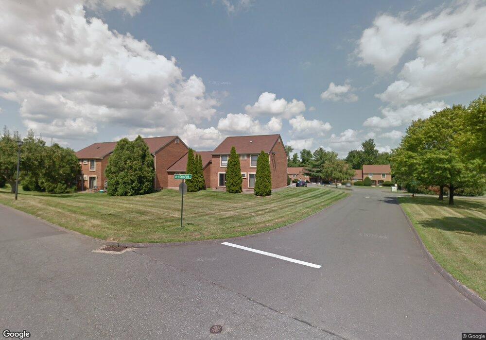
333 Conestoga St Windsor, CT 06095
Estimated Value: $185,980 - $318,000
2
Beds
2
Baths
1,114
Sq Ft
$227/Sq Ft
Est. Value
About This Home
This home is located at 333 Conestoga St, Windsor, CT 06095 and is currently estimated at $252,495, approximately $226 per square foot. 333 Conestoga St is a home located in Hartford County with nearby schools including Oliver Ellsworth School, John F. Kennedy School, and Sage Park Middle School.
Ownership History
Date
Name
Owned For
Owner Type
Purchase Details
Closed on
Mar 22, 2023
Sold by
Teg Rivers Bend Llc and Teg Rivers Bend Tet Llc
Bought by
Rb Condos Llc and Teg Rivers Bend Llc
Current Estimated Value
Home Financials for this Owner
Home Financials are based on the most recent Mortgage that was taken out on this home.
Original Mortgage
$61,000,000
Outstanding Balance
$59,194,038
Interest Rate
6.65%
Mortgage Type
Stand Alone Refi Refinance Of Original Loan
Estimated Equity
-$58,941,543
Purchase Details
Closed on
Feb 26, 2019
Sold by
Rivers Bend Acquisition
Bought by
Teg Rivers Bend Llc and Teg Rivers Bend Tet Llc
Create a Home Valuation Report for This Property
The Home Valuation Report is an in-depth analysis detailing your home's value as well as a comparison with similar homes in the area
Home Values in the Area
Average Home Value in this Area
Purchase History
| Date | Buyer | Sale Price | Title Company |
|---|---|---|---|
| Rb Condos Llc | -- | None Available | |
| Teg Rivers Bend Llc | $47,200,000 | -- |
Source: Public Records
Mortgage History
| Date | Status | Borrower | Loan Amount |
|---|---|---|---|
| Open | Rb Condos Llc | $61,000,000 |
Source: Public Records
Tax History
| Year | Tax Paid | Tax Assessment Tax Assessment Total Assessment is a certain percentage of the fair market value that is determined by local assessors to be the total taxable value of land and additions on the property. | Land | Improvement |
|---|---|---|---|---|
| 2025 | $2,995 | $105,280 | $0 | $105,280 |
| 2024 | $3,192 | $105,280 | $0 | $105,280 |
| 2023 | $2,790 | $83,040 | $0 | $83,040 |
| 2022 | $2,763 | $83,040 | $0 | $83,040 |
| 2021 | $2,763 | $83,040 | $0 | $83,040 |
| 2020 | $2,925 | $88,340 | $0 | $88,340 |
| 2019 | $2,860 | $88,340 | $0 | $88,340 |
| 2018 | $1,677 | $50,890 | $0 | $50,890 |
| 2017 | $1,651 | $50,890 | $0 | $50,890 |
| 2016 | $1,604 | $50,890 | $0 | $50,890 |
| 2015 | $1,574 | $50,890 | $0 | $50,890 |
| 2014 | $1,551 | $50,890 | $0 | $50,890 |
Source: Public Records
Map
Nearby Homes
- 16 Cornfield Rd
- 9 Milo Peck Ln
- 490 Old Day Hill Rd
- 39 Warham St
- 268 High Path Rd Unit 268
- 22 Apple Tree Ln
- 22 Eastview Dr
- 943 High Path Rd Unit 943
- 211 MacKtown Rd
- 136 High Path Rd
- 118 High Path Rd Unit 118
- 98 High Path Rd
- 58 High Path Rd Unit 58
- 9 Brown Ave
- 16 Brown Ave
- 1333 Palisado Ave
- 105 Trent Dr
- 1 Deanne Lynn Cir
- 66 Maple Ave
- 485 River St
- 334 Conestoga St
- 332 Conestoga St
- 335 Conestoga St
- 331 Conestoga St
- 331 Conestoga St Unit 331
- 330 Conestoga St
- 336 Conestoga St
- 329 Conestoga St
- 328 Conestoga St
- 327 Conestoga St
- 326 Conestoga St
- 337 Conestoga St
- 325 Conestoga St
- 338 Conestoga St
- 324 Conestoga St
- 324 Conestoga St Unit 324
- 323 Conestoga St
- 323 Conestoga St Unit 323
- 339 Conestoga St
- 322 Conestoga St
Your Personal Tour Guide
Ask me questions while you tour the home.